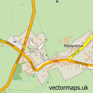
This Willoughby on the Wolds street map is a detailed vector street map covering a 750m x 750m area. Select a larger area to create and download your own vector street map of Willoughby on the Wolds.
The 750-metre map sample for Willoughby on the Wolds covers 184 mapped buildings and approximately 20.7 km of road detail, of which 13 named roads are named. The immediate area includes 1 school. The wider area around Willoughby on the Wolds features 1 tourism point of interest. To create a larger or custom map of Willoughby on the Wolds, the map builder lets you define your own coverage area and download editable SVG, PDF and PNG files.
Create a larger editable map of Willoughby on the Wolds
Choose any area you need and generate a high-quality vector map instantly. Perfect for print, planning, design, business and personal use.

This Willoughby on the Wolds street map in Nottinghamshire is available as downloadable SVG, PDF and PNG map files, or as a printed map for planning, business, display, education, local information and design work. You can also create a larger custom map area using the map selector.
What this Willoughby on the Wolds map sample shows
Willoughby on the Wolds lies within Willoughby On The Wolds Cp parish, part of Keyworth & Wolds ward in the Rushcliffe District (B) local authority area. The postcode geography for this area includes the LE postcode area, the LE12 postcode district and the LE12 6 postcode sector. Residents fall under the Nhs Nottingham And Nottinghamshire Integrated Care Board for NHS services.
Local features near Willoughby on the Wolds
Within 2 milesAmenities and services in and around Willoughby on the Wolds.
Administrative and postcode information for Willoughby on the Wolds
Willoughby on the Wolds lies within Willoughby On The Wolds Cp parish, part of Keyworth & Wolds ward in the Rushcliffe District (B) local authority area. The postcode geography for this area includes the LE postcode area, the LE12 postcode district and the LE12 6 postcode sector. Residents fall under the Nhs Nottingham And Nottinghamshire Integrated Care Board for NHS services.
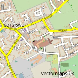
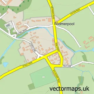
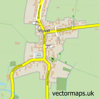
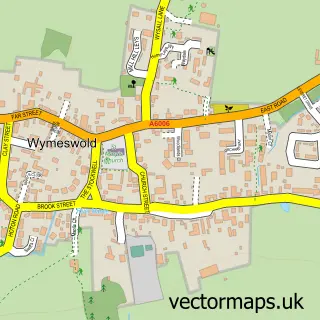
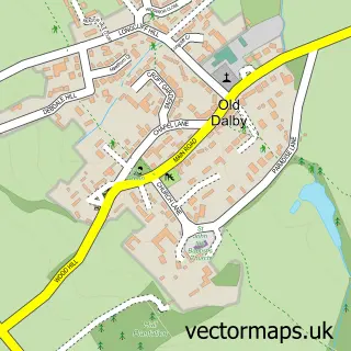
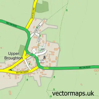
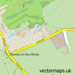
Nearby street map samples around Willoughby on the Wolds

More street maps in Nottinghamshire
750 metre map area coverage
Boundary, postcode and point of interest information for the 750m x 750m rectangle centred on this sample map.
Boundaries containing map centre
Constituency: Rushcliffe Co Const
County: Nottinghamshire County
District: Rushcliffe District (B)
Icb: NHS Nottingham and Nottinghamshire ICB
Parish: Willoughby on the Wolds CP
Police Force: nottinghamshire
Postcode District: LE12
Postcode Sector: LE12 6
Ward: Bunny Ward
Nearby boundaries intersecting sample
No additional intersecting boundaries found.
Postcode coverage
POI category counts
Active Life: 1
Anglican Church: 1
Carpenter: 1
Church Cathedral: 1
Contractor: 1
Elementary School: 1
Home Service: 1
Massage Therapy: 1
Park: 1
Public And Government Association: 1
Sample points of interest
- Willoughby Lodge Farm
- St Mary & All Saints
- J J Joinery
- Church of St Mary and All Saints, Willoughby-on-the-Wolds
- Sykes Refrigeration
- Willoughby Primary School
- Willoughby Wraparound Childcare
- Emma Punt
- Willoughby Community Park
- Willoughby on the Wolds Village Hall
- Sally Boyes Dressmaker
- Sally Boyes Bespoke Dressmaker and Alterations Specialist
Create a larger editable map of Willoughby on the Wolds
This sample shows only a 750 metre area. To create a larger map of Willoughby on the Wolds, use our map builder to choose your own coverage area, add titles and download editable SVG, PDF and PNG files.
Create a custom map of Willoughby on the Wolds