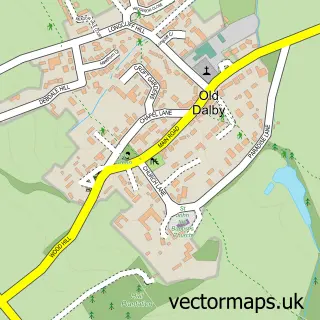
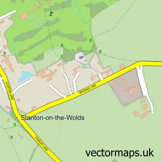
This Upper Broughton street map is a detailed vector street map covering a 750m x 750m area. Select a larger area to create and download your own vector street map of Upper Broughton.
The 750-metre map sample for Upper Broughton covers 104 mapped buildings and approximately 17.1 km of road detail, of which 10 named roads are named. The immediate area includes 1 pub and 1 MOT station within 2 miles. The wider area around Upper Broughton features 1 food and drink venue. To create a larger or custom map of Upper Broughton, the map builder lets you define your own coverage area and download editable SVG, PDF and PNG files.
Create a larger editable map of Upper Broughton
Choose any area you need and generate a high-quality vector map instantly. Perfect for print, planning, design, business and personal use.

This Upper Broughton street map in Nottinghamshire is available as downloadable SVG, PDF and PNG map files, or as a printed map for planning, business, display, education, local information and design work. You can also create a larger custom map area using the map selector.
What this Upper Broughton map sample shows
Upper Broughton lies within Upper Broughton Cp parish, part of Nevile & Langar ward in the Rushcliffe District (B) local authority area. The postcode geography for this area includes the LE postcode area, the LE14 postcode district and the LE14 3 postcode sector. Residents fall under the Nhs Nottingham And Nottinghamshire Integrated Care Board for NHS services.
Local features near Upper Broughton
Within 2 milesAmenities and services in and around Upper Broughton.
Administrative and postcode information for Upper Broughton
Upper Broughton lies within Upper Broughton Cp parish, part of Nevile & Langar ward in the Rushcliffe District (B) local authority area. The postcode geography for this area includes the LE postcode area, the LE14 postcode district and the LE14 3 postcode sector. Residents fall under the Nhs Nottingham And Nottinghamshire Integrated Care Board for NHS services.
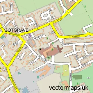
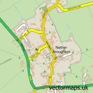
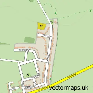
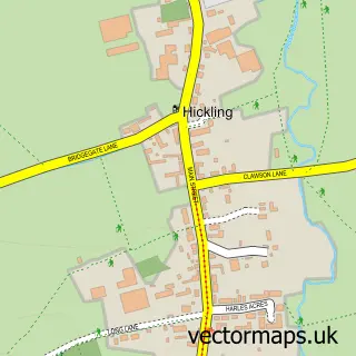
Nearby street map samples around Upper Broughton

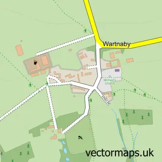
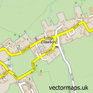
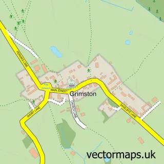
More street maps in Nottinghamshire
750 metre map area coverage
Boundary, postcode and point of interest information for the 750m x 750m rectangle centred on this sample map.
Boundaries containing map centre
Constituency: Rushcliffe Co Const
County: Nottinghamshire County
District: Rushcliffe District (B)
Icb: NHS Nottingham and Nottinghamshire ICB
Parish: Upper Broughton CP
Police Force: nottinghamshire
Postcode District: LE14
Postcode Sector: LE14 3
Ward: Nevile & Langar Ward
Nearby boundaries intersecting sample
No additional intersecting boundaries found.
Postcode coverage
POI category counts
Anglican Church: 1
Building Supply Store: 1
Church Cathedral: 1
Image Consultant: 1
Landscaping: 1
Post Office: 1
Pub: 1
Sample points of interest
- St Luke at Upper Broughton
- Pest Control Leicester
- St Luke's Church
- Demi Couture
- Inca Gardens Landscape and Design
- Post Office-Old Dalby
- The Tap & Run
Create a larger editable map of Upper Broughton
This sample shows only a 750 metre area. To create a larger map of Upper Broughton, use our map builder to choose your own coverage area, add titles and download editable SVG, PDF and PNG files.
Create a custom map of Upper Broughton