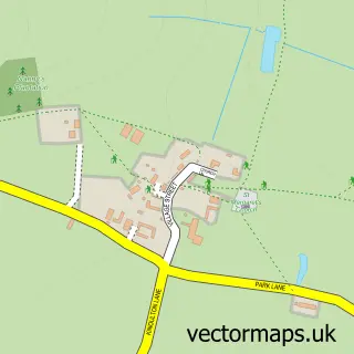
This Hickling street map is a detailed vector street map covering a 750m x 750m area. Select a larger area to create and download your own vector street map of Hickling.
The 750-metre map sample for Hickling covers 151 mapped buildings and approximately 11.8 km of road detail, of which 6 named roads are named. The immediate area includes 1 MOT station within 2 miles. To create a larger or custom map of Hickling, the map builder lets you define your own coverage area and download editable SVG, PDF and PNG files.
Create a larger editable map of Hickling
Choose any area you need and generate a high-quality vector map instantly. Perfect for print, planning, design, business and personal use.

This Hickling street map in Nottinghamshire is available as downloadable SVG, PDF and PNG map files, or as a printed map for planning, business, display, education, local information and design work. You can also create a larger custom map area using the map selector.
What this Hickling map sample shows
Hickling lies within Hickling Cp parish, part of Nevile & Langar ward in the Rushcliffe District (B) local authority area. The postcode geography for this area includes the LE postcode area, the LE14 postcode district and the LE14 3 postcode sector. Residents fall under the Nhs Nottingham And Nottinghamshire Integrated Care Board for NHS services.
Local features near Hickling
Within 2 milesAmenities and services in and around Hickling.
Administrative and postcode information for Hickling
The local authority covering Hickling is Rushcliffe District (B), within the county of Nottinghamshire. The settlement lies within Nevile & Langar ward and Hickling Cp civil parish. The LE14 postcode district and LE14 3 postcode sector serve the immediate area. NHS provision in the area is delivered through Nottingham University Hospitals Nhs Trust.
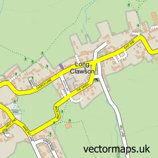
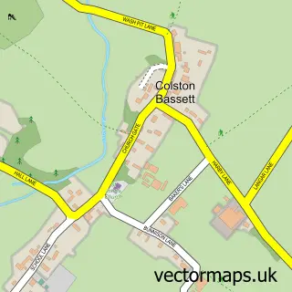
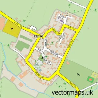
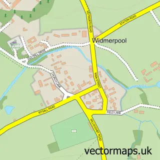
Nearby street map samples around Hickling

More street maps in Nottinghamshire
750 metre map area coverage
Boundary, postcode and point of interest information for the 750m x 750m rectangle centred on this sample map.
Boundaries containing map centre
Constituency: Rushcliffe Co Const
County: Nottinghamshire County
District: Rushcliffe District (B)
Icb: NHS Nottingham and Nottinghamshire ICB
Parish: Hickling CP
Police Force: nottinghamshire
Postcode District: LE14
Postcode Sector: LE14 3
Ward: Nevile & Langar Ward
Nearby boundaries intersecting sample
No additional intersecting boundaries found.
Postcode coverage
POI category counts
Appliance Store: 1
Architect: 1
Arts And Entertainment: 1
Fireplace Service: 1
Florist: 1
Gardener: 1
Pet Groomer: 1
Pet Store: 1
Sample points of interest
- A R Peet Stoves
- Greenwood Architects Ltd.
- Hickling Scarecrow Festival
- A.R.Peet Stoves
- Rose Cottage Floristry & Flower School
- Woodland Landscapes
- The Grooming Room
- Long Ridge Cattery
Create a larger editable map of Hickling
This sample shows only a 750 metre area. To create a larger map of Hickling, use our map builder to choose your own coverage area, add titles and download editable SVG, PDF and PNG files.
Create a custom map of Hickling