This Hose street map is a detailed vector street map covering a 750m x 750m area. Select a larger area to create and download your own vector street map of Hose.
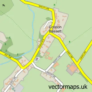
The 750-metre map sample for Hose covers 212 mapped buildings and approximately 11.8 km of road detail, of which 12 named roads are named. The immediate area includes 1 school, 1 GP surgery within 2 miles and 2 pubs. The wider area around Hose features 2 food and drink venues and 1 hotel. To create a larger or custom map of Hose, the map builder lets you define your own coverage area and download editable SVG, PDF and PNG files.
Create a larger editable map of Hose
Choose any area you need and generate a high-quality vector map instantly. Perfect for print, planning, design, business and personal use.

This Hose street map in Leicestershire is available as downloadable SVG, PDF and PNG map files, or as a printed map for planning, business, display, education, local information and design work. You can also create a larger custom map area using the map selector.
What this Hose map sample shows
Hose lies within Clawson, Hose And Harby Cp parish, part of Long Clawson And Stathern ward in the Melton District (B) local authority area. The postcode geography for this area includes the LE postcode area, the LE14 postcode district and the LE14 4 postcode sector. Residents fall under the Nhs Leicester, Leicestershire And Rutland Integrated Care Board for NHS services.
Local features near Hose
Within 2 milesAmenities and services in and around Hose.
Administrative and postcode information for Hose
Hose lies within Clawson, Hose And Harby Cp parish, part of Long Clawson And Stathern ward in the Melton District (B) local authority area. The postcode geography for this area includes the LE postcode area, the LE14 postcode district and the LE14 4 postcode sector. Residents fall under the Nhs Leicester, Leicestershire And Rutland Integrated Care Board for NHS services.
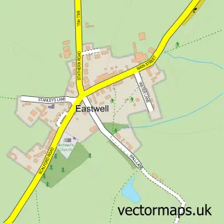
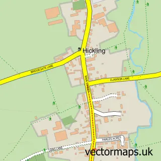
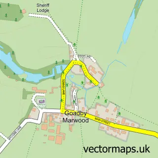
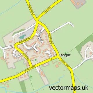
Nearby street map samples around Hose
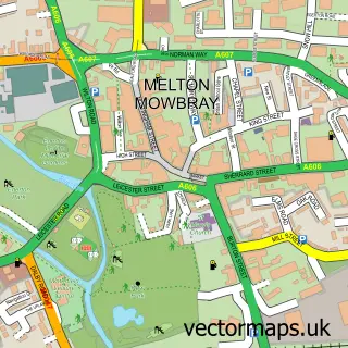

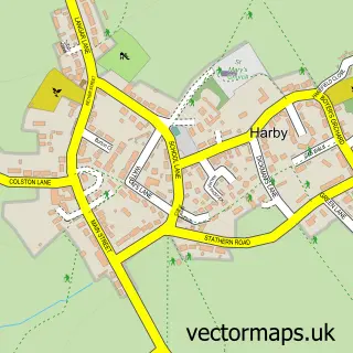
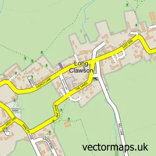
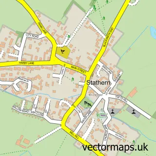
More street maps in Leicestershire
750 metre map area coverage
Boundary, postcode and point of interest information for the 750m x 750m rectangle centred on this sample map.
Boundaries containing map centre
Constituency: Melton and Syston Co Const
County: Leicestershire County
District: Melton District (B)
Icb: NHS Leicester Leicestershire and Rutland ICB
Parish: Clawson, Hose and Harby CP
Police Force: leicestershire
Postcode District: LE14
Postcode Sector: LE14 4
Ward: Long Clawson and Stathern Ward
Nearby boundaries intersecting sample
No additional intersecting boundaries found.
Postcode coverage
POI category counts
Electrician: 2
Elementary School: 2
Pub: 2
Sports Club And League: 2
Anglican Church: 1
Building Contractor: 1
Building Supply Store: 1
Caterer: 1
Community Center: 1
Dog Walkers: 1
Sample points of interest
- Hose: St Michael & All Angels
- Belvoir Ground Care
- Soar Valley Homes
- Amazing Mac Cheese
- Hose Village Hall
- FWK Dog Walking
- Hose Engineering Services
- Wilson Electrical Services
- Hose C E Primary School
- Hose Church of England Primary School
- Vale Bathrooms & Tiling
- A1 Turf Supplies
Create a larger editable map of Hose
This sample shows only a 750 metre area. To create a larger map of Hose, use our map builder to choose your own coverage area, add titles and download editable SVG, PDF and PNG files.
Create a custom map of Hose