This Stathern street map is a detailed vector street map covering a 750m x 750m area. Select a larger area to create and download your own vector street map of Stathern.
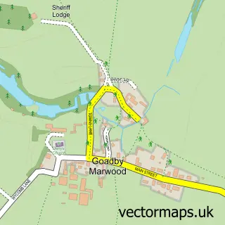
The 750-metre map sample for Stathern covers 324 mapped buildings and approximately 15.9 km of road detail, of which 19 named roads are named. The immediate area includes 1 school, 2 pubs and 1 MOT station. The wider area around Stathern features 1 tourism point of interest and 3 food and drink venues. To create a larger or custom map of Stathern, the map builder lets you define your own coverage area and download editable SVG, PDF and PNG files.
Create a larger editable map of Stathern
Choose any area you need and generate a high-quality vector map instantly. Perfect for print, planning, design, business and personal use.

This Stathern street map in Leicestershire is available as downloadable SVG, PDF and PNG map files, or as a printed map for planning, business, display, education, local information and design work. You can also create a larger custom map area using the map selector.
What this Stathern map sample shows
Stathern lies within Stathern Cp parish, part of Long Clawson And Stathern ward in the Melton District (B) local authority area. The postcode geography for this area includes the LE postcode area, the LE14 postcode district and the LE14 4 postcode sector. Residents fall under the Nhs Leicester, Leicestershire And Rutland Integrated Care Board for NHS services.
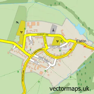
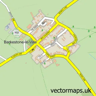
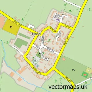
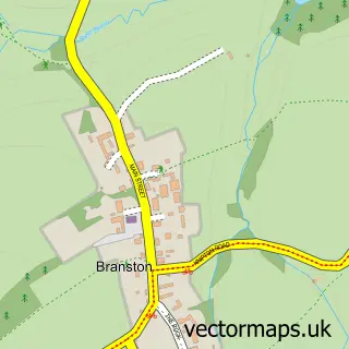
Local features near Stathern
Within 2 milesAmenities and services in and around Stathern.
Administrative and postcode information for Stathern
Stathern lies within Stathern Cp parish, part of Long Clawson And Stathern ward in the Melton District (B) local authority area. The postcode geography for this area includes the LE postcode area, the LE14 postcode district and the LE14 4 postcode sector. Residents fall under the Nhs Leicester, Leicestershire And Rutland Integrated Care Board for NHS services.
Nearby street map samples around Stathern

More street maps in Leicestershire
750 metre map area coverage
Boundary, postcode and point of interest information for the 750m x 750m rectangle centred on this sample map.
Boundaries containing map centre
Constituency: Melton and Syston Co Const
County: Leicestershire County
District: Melton District (B)
Icb: NHS Leicester Leicestershire and Rutland ICB
Parish: Stathern CP
Police Force: leicestershire
Postcode District: LE14
Postcode Sector: LE14 4
Ward: Long Clawson and Stathern Ward
Nearby boundaries intersecting sample
No additional intersecting boundaries found.
Postcode coverage
POI category counts
Automotive Repair: 2
Professional Services: 2
Pub: 2
Shipping Center: 2
Anglican Church: 1
Beauty Salon: 1
Bed And Breakfast: 1
Bicycle Shop: 1
Business Consulting: 1
Butcher Shop: 1
Sample points of interest
- Stathern: St Guthlac
- Andy King - Pre 1955 MG Specialist
- Stathern Garage
- Melanie Cleall Nail Artist
- The Old Nurseries
- Valecycles
- Rendez-Vous Management Consultancy
- Cox David Butchers
- Coffee Shot
- Stathern 10k
- Londis Stathern Village Store
- The Riad Supper Club
Create a larger editable map of Stathern
This sample shows only a 750 metre area. To create a larger map of Stathern, use our map builder to choose your own coverage area, add titles and download editable SVG, PDF and PNG files.
Create a custom map of Stathern