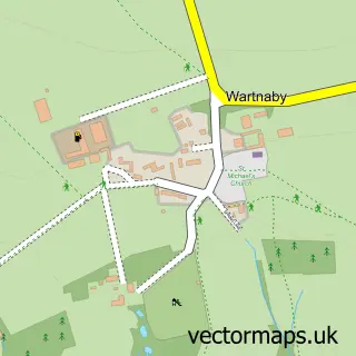
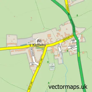
This Grimston street map is a detailed vector street map covering a 750m x 750m area. Select a larger area to create and download your own vector street map of Grimston.
The 750-metre map sample for Grimston covers 99 mapped buildings and approximately 11.9 km of road detail, of which 5 named roads are named. The immediate area includes 1 pub. The wider area around Grimston features 1 food and drink venue. To create a larger or custom map of Grimston, the map builder lets you define your own coverage area and download editable SVG, PDF and PNG files.
Create a larger editable map of Grimston
Choose any area you need and generate a high-quality vector map instantly. Perfect for print, planning, design, business and personal use.

This Grimston street map in Leicestershire is available as downloadable SVG, PDF and PNG map files, or as a printed map for planning, business, display, education, local information and design work. You can also create a larger custom map area using the map selector.
What this Grimston map sample shows
Grimston lies within Grimston Cp parish, part of Frisby-On-The-Wreake ward in the Melton District (B) local authority area. The postcode geography for this area includes the LE postcode area, the LE14 postcode district and the LE14 3 postcode sector. Residents fall under the Nhs Leicester, Leicestershire And Rutland Integrated Care Board for NHS services.
Local features near Grimston
Within 2 milesAmenities and services in and around Grimston.
Administrative and postcode information for Grimston
Grimston lies within Grimston Cp parish, part of Frisby-On-The-Wreake ward in the Melton District (B) local authority area. The postcode geography for this area includes the LE postcode area, the LE14 postcode district and the LE14 3 postcode sector. Residents fall under the Nhs Leicester, Leicestershire And Rutland Integrated Care Board for NHS services.
Nearby street map samples around Grimston
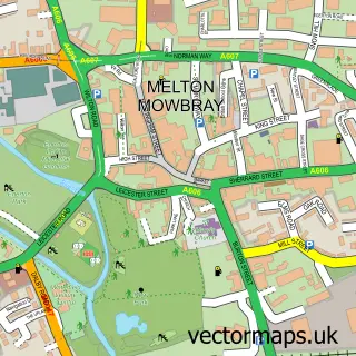

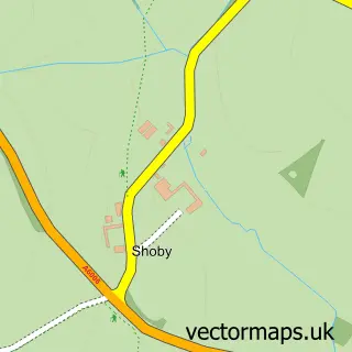
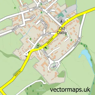
More street maps in Leicestershire
750 metre map area coverage
Boundary, postcode and point of interest information for the 750m x 750m rectangle centred on this sample map.
Boundaries containing map centre
Constituency: Melton and Syston Co Const
County: Leicestershire County
District: Melton District (B)
Icb: NHS Leicester Leicestershire and Rutland ICB
Parish: Grimston CP
Police Force: leicestershire
Postcode District: LE14
Postcode Sector: LE14 3
Ward: Frisby-on-the-Wreake Ward
Nearby boundaries intersecting sample
No additional intersecting boundaries found.
Postcode coverage
POI category counts
Anglican Church: 1
Bed And Breakfast: 1
Pet Services: 1
Pub: 1
Sporting Goods: 1
Yoga Studio: 1
Sample points of interest
- Grimston: St John the Baptist
- Gorse House
- Jane Bertram Products
- The Black Horse
- Bit World
- Pure Personal Training
Create a larger editable map of Grimston
This sample shows only a 750 metre area. To create a larger map of Grimston, use our map builder to choose your own coverage area, add titles and download editable SVG, PDF and PNG files.
Create a custom map of Grimston