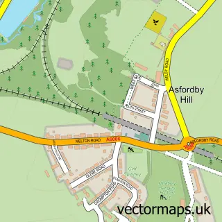
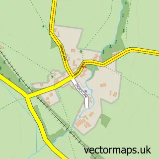
This Asfordby street map is a detailed vector street map covering a 750m x 750m area. Select a larger area to create and download your own vector street map of Asfordby.
The 750-metre map sample for Asfordby covers 435 mapped buildings and approximately 23.4 km of road detail, of which 31 named roads are named. The immediate area includes 1 school, 2 pubs and 1 MOT station. The wider area around Asfordby features 1 tourism point of interest, 2 food and drink venues and 1 hotel. To create a larger or custom map of Asfordby, the map builder lets you define your own coverage area and download editable SVG, PDF and PNG files.
Create a larger editable map of Asfordby
Choose any area you need and generate a high-quality vector map instantly. Perfect for print, planning, design, business and personal use.

This Asfordby street map in Leicestershire is available as downloadable SVG, PDF and PNG map files, or as a printed map for planning, business, display, education, local information and design work. You can also create a larger custom map area using the map selector.
What this Asfordby map sample shows
Asfordby lies within Asfordby Cp parish, part of Asfordby ward in the Melton District (B) local authority area. The postcode geography for this area includes the LE postcode area, the LE14 postcode district and the LE14 3 postcode sector. Residents fall under the Nhs Leicester, Leicestershire And Rutland Integrated Care Board for NHS services.
Local features near Asfordby
Within 2 milesAmenities and services in and around Asfordby.
Administrative and postcode information for Asfordby
The local authority covering Asfordby is Melton District (B), within the county of Leicestershire. The settlement lies within Asfordby ward and Asfordby Cp civil parish. The LE14 postcode district and LE14 3 postcode sector serve the immediate area. NHS provision in the area is delivered through University Hospitals Of Leicester Nhs Trust.
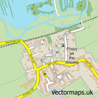
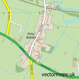
Nearby street map samples around Asfordby
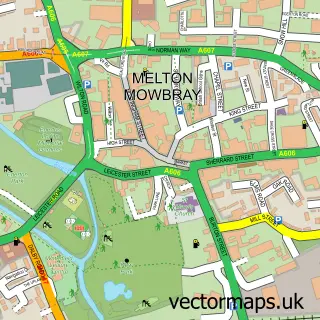


More street maps in Leicestershire
750 metre map area coverage
Boundary, postcode and point of interest information for the 750m x 750m rectangle centred on this sample map.
Boundaries containing map centre
Constituency: Melton and Syston Co Const
County: Leicestershire County
District: Melton District (B)
Icb: NHS Leicester Leicestershire and Rutland ICB
Parish: Asfordby CP
Police Force: leicestershire
Postcode District: LE14
Postcode Sector: LE14 3
Ward: Asfordby Ward
Nearby boundaries intersecting sample
Postcode Sector: LE14 2
Postcode coverage
POI category counts
Automotive Repair: 2
Building Supply Store: 2
Convenience Store: 2
Preschool: 2
Pub: 2
Shipping Center: 2
Anglican Church: 1
Architectural Designer: 1
Arts And Crafts: 1
Atms: 1
Sample points of interest
- Asfordby: All Saints
- Design Only Gardens
- West Bank Crafts and Produce
- Central England Co-Op - Asfordby
- Asfordby Garage
- Priory Commercials Ltd
- BMA BY BEX
- Olive Tree Beauty
- Blunts Electrical
- Sparkle Cleaning Power
- Zero Dry Time
- Chung's Cottage
Create a larger editable map of Asfordby
This sample shows only a 750 metre area. To create a larger map of Asfordby, use our map builder to choose your own coverage area, add titles and download editable SVG, PDF and PNG files.
Create a custom map of Asfordby