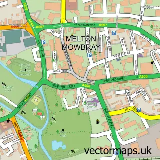
This Kirby Bellars street map is a detailed vector street map covering a 750m x 750m area. Select a larger area to create and download your own vector street map of Kirby Bellars.
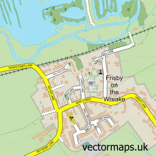
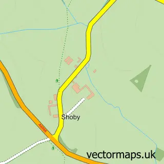
The 750-metre map sample for Kirby Bellars covers 114 mapped buildings and approximately 12.4 km of road detail, of which 9 named roads are named. The immediate area includes 1 pub and 4 MOT stations within 2 miles. The wider area around Kirby Bellars features 1 food and drink venue and 1 campsite within 2 miles. To create a larger or custom map of Kirby Bellars, the map builder lets you define your own coverage area and download editable SVG, PDF and PNG files.
Create a larger editable map of Kirby Bellars
Choose any area you need and generate a high-quality vector map instantly. Perfect for print, planning, design, business and personal use.

This Kirby Bellars street map in Leicestershire is available as downloadable SVG, PDF and PNG map files, or as a printed map for planning, business, display, education, local information and design work. You can also create a larger custom map area using the map selector.
What this Kirby Bellars map sample shows
Kirby Bellars lies within Kirby Bellars Cp parish, part of Frisby-On-The-Wreake ward in the Melton District (B) local authority area. The postcode geography for this area includes the LE postcode area, the LE14 postcode district and the LE14 2 postcode sector. Residents fall under the Nhs Leicester, Leicestershire And Rutland Integrated Care Board for NHS services.
Local features near Kirby Bellars
Within 2 milesAmenities and services in and around Kirby Bellars.
Administrative and postcode information for Kirby Bellars
Kirby Bellars lies within Kirby Bellars Cp parish, part of Frisby-On-The-Wreake ward in the Melton District (B) local authority area. The postcode geography for this area includes the LE postcode area, the LE14 postcode district and the LE14 2 postcode sector. Residents fall under the Nhs Leicester, Leicestershire And Rutland Integrated Care Board for NHS services.
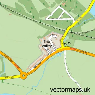
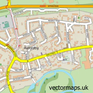
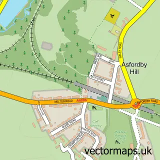
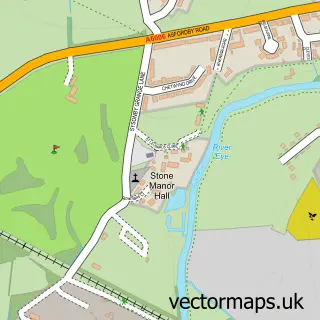
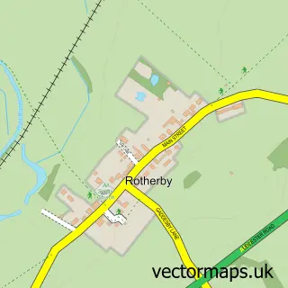
Nearby street map samples around Kirby Bellars

More street maps in Leicestershire
750 metre map area coverage
Boundary, postcode and point of interest information for the 750m x 750m rectangle centred on this sample map.
Boundaries containing map centre
Constituency: Melton and Syston Co Const
County: Leicestershire County
District: Melton District (B)
Icb: NHS Leicester Leicestershire and Rutland ICB
Parish: Kirby Bellars CP
Police Force: leicestershire
Postcode District: LE14
Postcode Sector: LE14 2
Ward: Frisby-on-the-Wreake Ward
Nearby boundaries intersecting sample
Parish: Asfordby CP
Ward: Asfordby Ward
Postcode coverage
POI category counts
Retail: 2
Agricultural Service: 1
Arts And Entertainment: 1
Community Center: 1
Elementary School: 1
Fence And Gate Sales Service: 1
Food Banks: 1
Industrial Equipment: 1
It Service And Computer Repair: 1
Nursery And Gardening: 1
Sample points of interest
- Kirby Ag Ltd
- Whissendine Village Hall
- Kirby Bellars Village Hall
- Stathern County Primary School
- Steve Mound Fencing Ltd
- Kinson u0026amp; West Howe
- Dot Com Tools
- Stuart Inkley Computer Services Limited
- St Johns nurseries Kirby Bellars
- Kirby Bellars Pet Services
- Flying Childers
- K T Fabrications
Create a larger editable map of Kirby Bellars
This sample shows only a 750 metre area. To create a larger map of Kirby Bellars, use our map builder to choose your own coverage area, add titles and download editable SVG, PDF and PNG files.
Create a custom map of Kirby Bellars