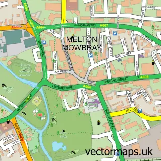
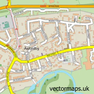
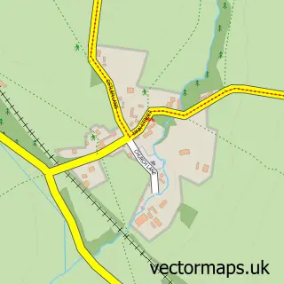
This Sysonby street map is a detailed vector street map covering a 750m x 750m area. Select a larger area to create and download your own vector street map of Sysonby.
The 750-metre map sample for Sysonby covers 107 mapped buildings and approximately 11.1 km of road detail, of which 11 named roads are named. The immediate area includes 1 GP surgery within 2 miles and 12 MOT stations within 2 miles. The wider area around Sysonby features 1 tourism point of interest, 2 hotels and 1 campsite within 2 miles. To create a larger or custom map of Sysonby, the map builder lets you define your own coverage area and download editable SVG, PDF and PNG files.
Create a larger editable map of Sysonby
Choose any area you need and generate a high-quality vector map instantly. Perfect for print, planning, design, business and personal use.

This Sysonby street map in Leicestershire is available as downloadable SVG, PDF and PNG map files, or as a printed map for planning, business, display, education, local information and design work. You can also create a larger custom map area using the map selector.
What this Sysonby map sample shows
Sysonby lies within Leicestershire County parish, part of Melton Warwick ward in the Melton District (B) local authority area. The postcode geography for this area includes the LE postcode area, the LE13 postcode district and the LE13 0 postcode sector. Residents fall under the Nhs Leicester, Leicestershire And Rutland Integrated Care Board for NHS services.
Local features near Sysonby
Within 2 milesAmenities and services in and around Sysonby.
Administrative and postcode information for Sysonby
The local authority covering Sysonby is Melton District (B), within the county of Leicestershire. The settlement lies within Melton Warwick ward and Leicestershire County civil parish. The LE13 postcode district and LE13 0 postcode sector serve the immediate area. NHS provision in the area is delivered through University Hospitals Of Leicester Nhs Trust.
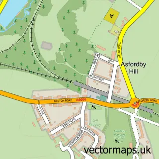
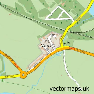
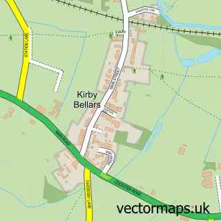
Nearby street map samples around Sysonby

More street maps in Leicestershire
750 metre map area coverage
Boundary, postcode and point of interest information for the 750m x 750m rectangle centred on this sample map.
Boundaries containing map centre
Constituency: Melton and Syston Co Const
County: Leicestershire County
District: Melton District (B)
Icb: NHS Leicester Leicestershire and Rutland ICB
Police Force: leicestershire
Postcode District: LE13
Postcode Sector: LE13 0
Ward: Melton Egerton Ward
Nearby boundaries intersecting sample
Ward: Melton Dorian Ward
Postcode coverage
POI category counts
Anglican Church: 1
Campground: 1
College University: 1
Contractor: 1
Golf Course: 1
Home Service: 1
Hotel: 1
It Service And Computer Repair: 1
Resort: 1
River: 1
Sample points of interest
- St Leonard's at Sysonby
- Tin & Wood
- Brooksby College
- Vale View Windows
- Asfordby Road Golf Course
- Woodlands Nursery and Forest School
- Best Western Sysonby Knoll Hotel
- Midas Media
- Sysonby Knoll Hotel
- River Eye, Leicestershire
- Sysonby Acres
Create a larger editable map of Sysonby
This sample shows only a 750 metre area. To create a larger map of Sysonby, use our map builder to choose your own coverage area, add titles and download editable SVG, PDF and PNG files.
Create a custom map of Sysonby