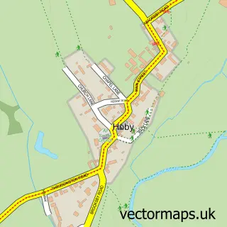
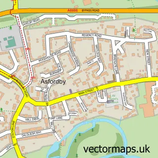
This Rotherby street map is a detailed vector street map covering a 750m x 750m area. Select a larger area to create and download your own vector street map of Rotherby.
The 750-metre map sample for Rotherby covers 60 mapped buildings and approximately 8.4 km of road detail, of which 4 named roads are named. To create a larger or custom map of Rotherby, the map builder lets you define your own coverage area and download editable SVG, PDF and PNG files.
Create a larger editable map of Rotherby
Choose any area you need and generate a high-quality vector map instantly. Perfect for print, planning, design, business and personal use.

This Rotherby street map in Leicestershire is available as downloadable SVG, PDF and PNG map files, or as a printed map for planning, business, display, education, local information and design work. You can also create a larger custom map area using the map selector.
What this Rotherby map sample shows
Rotherby lies within Hoby With Rotherby Cp parish, part of Frisby-On-The-Wreake ward in the Melton District (B) local authority area. The postcode geography for this area includes the LE postcode area, the LE14 postcode district and the LE14 2 postcode sector. Residents fall under the Nhs Leicester, Leicestershire And Rutland Integrated Care Board for NHS services.
Administrative and postcode information for Rotherby
Rotherby lies within Hoby With Rotherby Cp parish, part of Frisby-On-The-Wreake ward in the Melton District (B) local authority area. The postcode geography for this area includes the LE postcode area, the LE14 postcode district and the LE14 2 postcode sector. Residents fall under the Nhs Leicester, Leicestershire And Rutland Integrated Care Board for NHS services.
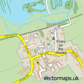
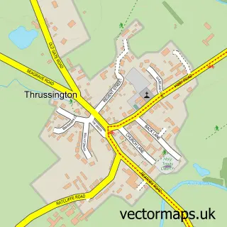
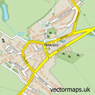
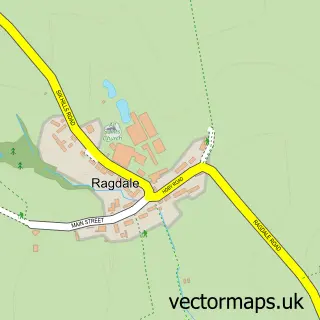
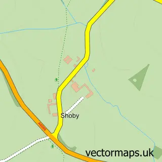
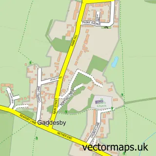
Nearby street map samples around Rotherby

More street maps in Leicestershire
750 metre map area coverage
Boundary, postcode and point of interest information for the 750m x 750m rectangle centred on this sample map.
Boundaries containing map centre
Constituency: Melton and Syston Co Const
County: Leicestershire County
District: Melton District (B)
Icb: NHS Leicester Leicestershire and Rutland ICB
Parish: Hoby with Rotherby CP
Police Force: leicestershire
Postcode District: LE14
Postcode Sector: LE14 2
Ward: Frisby-on-the-Wreake Ward
Nearby boundaries intersecting sample
Postcode Sector: LE14 3
Postcode coverage
POI category counts
Anglican Church: 1
Church Cathedral: 1
Clothing Store: 1
Education: 1
Graphic Designer: 1
Hair Salon: 1
Professional Services: 1
Retail: 1
Web Designer: 1
Sample points of interest
- Rotherby: All Saints
- All Saints Church
- Bon Nuit
- JNT Cargo
- Carl Murch Design
- Body Beauty Spirit
- Clementine Business Coaching
- Dell Customer Support Number 1-844-762-3952
- Stream
Create a larger editable map of Rotherby
This sample shows only a 750 metre area. To create a larger map of Rotherby, use our map builder to choose your own coverage area, add titles and download editable SVG, PDF and PNG files.
Create a custom map of Rotherby