This Frisby on the Wreake street map is a detailed vector street map covering a 750m x 750m area. Select a larger area to create and download your own vector street map of Frisby on the Wreake.
The 750-metre map sample for Frisby on the Wreake covers 217 mapped buildings and approximately 13.6 km of road detail, of which 13 named roads are named. The immediate area includes 1 school, 2 pubs and 1 MOT station within 2 miles. The wider area around Frisby on the Wreake features 1 tourism point of interest and 2 food and drink venues. To create a larger or custom map of Frisby on the Wreake, the map builder lets you define your own coverage area and download editable SVG, PDF and PNG files.
Create a larger editable map of Frisby on the Wreake
Choose any area you need and generate a high-quality vector map instantly. Perfect for print, planning, design, business and personal use.

This Frisby on the Wreake street map in Leicestershire is available as downloadable SVG, PDF and PNG map files, or as a printed map for planning, business, display, education, local information and design work. You can also create a larger custom map area using the map selector.
What this Frisby on the Wreake map sample shows
Frisby on the Wreake lies within Frisby On The Wreake Cp parish, part of Frisby-On-The-Wreake ward in the Melton District (B) local authority area. The postcode geography for this area includes the LE postcode area, the LE14 postcode district and the LE14 2 postcode sector. Residents fall under the Nhs Leicester, Leicestershire And Rutland Integrated Care Board for NHS services.
Local features near Frisby on the Wreake
Within 2 milesAmenities and services in and around Frisby on the Wreake.
Administrative and postcode information for Frisby on the Wreake
The local authority covering Frisby on the Wreake is Melton District (B), within the county of Leicestershire. The settlement lies within Frisby-On-The-Wreake ward and Frisby On The Wreake Cp civil parish. The LE14 postcode district and LE14 2 postcode sector serve the immediate area. NHS provision in the area is delivered through University Hospitals Of Leicester Nhs Trust.
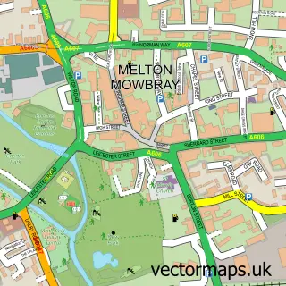
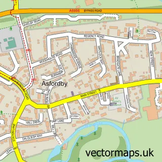
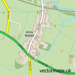
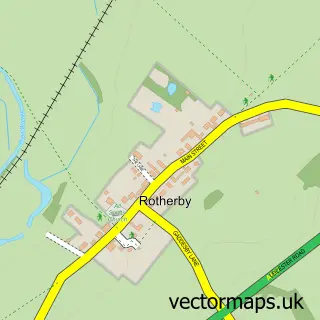
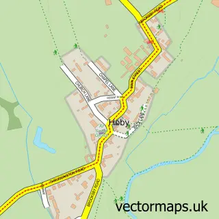
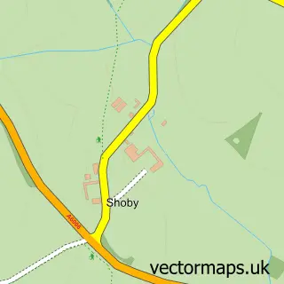
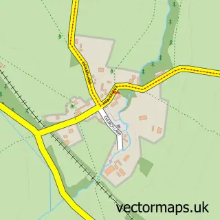
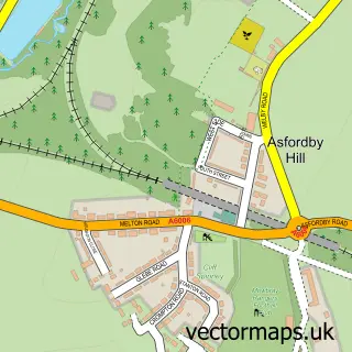
Nearby street map samples around Frisby on the Wreake


More street maps in Leicestershire
750 metre map area coverage
Boundary, postcode and point of interest information for the 750m x 750m rectangle centred on this sample map.
Boundaries containing map centre
Constituency: Melton and Syston Co Const
County: Leicestershire County
District: Melton District (B)
Icb: NHS Leicester Leicestershire and Rutland ICB
Parish: Frisby on the Wreake CP
Police Force: leicestershire
Postcode District: LE14
Postcode Sector: LE14 2
Ward: Frisby-on-the-Wreake Ward
Nearby boundaries intersecting sample
Parish: Asfordby CP
Ward: Asfordby Ward
Postcode coverage
POI category counts
Anglican Church: 2
Art Gallery: 2
Preschool: 2
Pub: 2
Animal Shelter: 1
Community Services Non Profits: 1
Currency Exchange: 1
Elementary School: 1
Funeral Services And Cemeteries: 1
Grocery Store: 1
Sample points of interest
- Frisby-on-the-Wreake: St Thomas of Canterbury
- St Thomas Of Canterbury Church
- Leicestershire & Rutland Stray Dog Sanctuary
- Kettering & District Art Society - KDAS
- Tim Fisher Fine Art
- Frisby on the Wreake Flower & Garden Club
- Post Office Travel Money
- Frisby Church of England Primary School
- Leicestershire & Rutland Stray Dogs Sactuary
- Frisby News
- Post Office-Frisby On The Wreake
- Frisby on the Wreake
Create a larger editable map of Frisby on the Wreake
This sample shows only a 750 metre area. To create a larger map of Frisby on the Wreake, use our map builder to choose your own coverage area, add titles and download editable SVG, PDF and PNG files.
Create a custom map of Frisby on the Wreake