This Wimborne St Giles street map is a detailed vector street map covering a 750m x 750m area. Select a larger area to create and download your own vector street map of Wimborne St Giles.
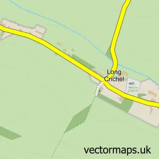
The 750-metre map sample for Wimborne St Giles covers 79 mapped buildings and approximately 8.1 km of road detail, of which 4 named roads are named. The immediate area includes 1 school, 1 GP surgery within 2 miles, 1 pub and 1 MOT station within 2 miles. The wider area around Wimborne St Giles features 1 tourism point of interest and 1 food and drink venue. To create a larger or custom map of Wimborne St Giles, the map builder lets you define your own coverage area and download editable SVG, PDF and PNG files.
Create a larger editable map of Wimborne St Giles
Choose any area you need and generate a high-quality vector map instantly. Perfect for print, planning, design, business and personal use.

This Wimborne St Giles street map in Dorset is available as downloadable SVG, PDF and PNG map files, or as a printed map for planning, business, display, education, local information and design work. You can also create a larger custom map area using the map selector.
What this Wimborne St Giles map sample shows
Wimborne St Giles lies within Wimborne St. Giles Cp parish, part of Cranborne & Alderholt ward in the Dorset local authority area. The postcode geography for this area includes the BH postcode area, the BH21 postcode district and the BH21 5 postcode sector. Residents fall under the Nhs Dorset Integrated Care Board for NHS services.
Local features near Wimborne St Giles
Within 2 milesAmenities and services in and around Wimborne St Giles.
Administrative and postcode information for Wimborne St Giles
The local authority covering Wimborne St Giles is Dorset, within the county of Dorset. The settlement lies within Cranborne & Alderholt ward and Wimborne St. Giles Cp civil parish. The BH21 postcode district and BH21 5 postcode sector serve the immediate area. NHS provision in the area is delivered through Salisbury Nhs Foundation Trust.
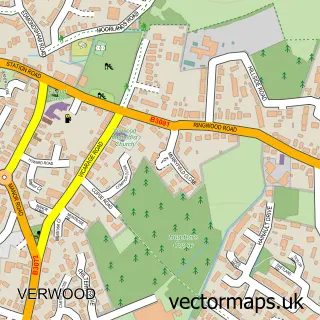
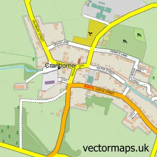
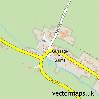
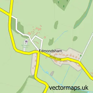
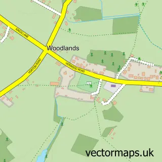
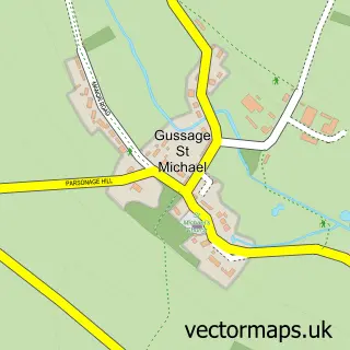
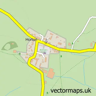
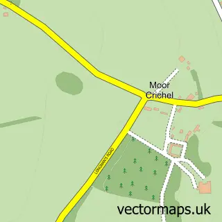
Nearby street map samples around Wimborne St Giles

More street maps in Dorset
750 metre map area coverage
Boundary, postcode and point of interest information for the 750m x 750m rectangle centred on this sample map.
Boundaries containing map centre
Constituency: North Dorset Co Const
District: Dorset
Icb: NHS Dorset ICB
Parish: Wimborne St. Giles CP
Police Force: dorset
Postcode District: BH21
Postcode Sector: BH21 5
Ward: Cranborne & Alderholt Ward
Nearby boundaries intersecting sample
No additional intersecting boundaries found.
Postcode coverage
POI category counts
Appliance Manufacturer: 1
Arts And Entertainment: 1
Building Supply Store: 1
Corporate Entertainment Services: 1
Elementary School: 1
Event Planning: 1
Florist: 1
Flowers And Gifts Shop: 1
Freight And Cargo Service: 1
Landmark And Historical Building: 1
Sample points of interest
- FRD Designers & Makers Ltd
- We Out Here Festival
- Wimborne Scaffolding
- Hartley's Events
- Wimborne St. Giles C of E First School
- St Giles House
- Wight Rose Florists
- Wight Rose Florists
- Transworld GB
- Wimborne St Giles
- John Radford Piano, Keyboard & Organ Tuition
- Wimborne St. Giles Post Office
Create a larger editable map of Wimborne St Giles
This sample shows only a 750 metre area. To create a larger map of Wimborne St Giles, use our map builder to choose your own coverage area, add titles and download editable SVG, PDF and PNG files.
Create a custom map of Wimborne St Giles