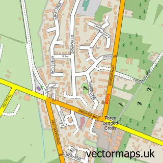
This Verwood street map is a detailed vector street map covering a 750m x 750m area. Select a larger area to create and download your own vector street map of Verwood.
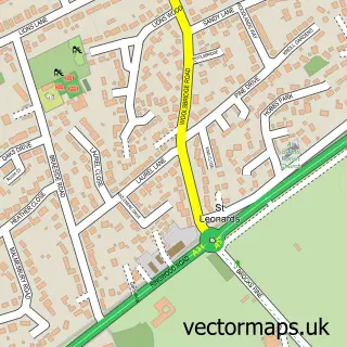
The 750-metre map sample for Verwood covers 447 mapped buildings and approximately 15.2 km of road detail, of which 33 named roads are named. The immediate area includes 1 school, 1 GP surgery and 5 MOT stations within 2 miles. The wider area around Verwood features 4 tourism points of interest and 6 food and drink venues. To create a larger or custom map of Verwood, the map builder lets you define your own coverage area and download editable SVG, PDF and PNG files.
Create a larger editable map of Verwood
Choose any area you need and generate a high-quality vector map instantly. Perfect for print, planning, design, business and personal use.

This Verwood street map in Dorset is available as downloadable SVG, PDF and PNG map files, or as a printed map for planning, business, display, education, local information and design work. You can also create a larger custom map area using the map selector.
What this Verwood map sample shows
Verwood lies within Verwood Cp parish, part of Verwood ward in the Dorset local authority area. The postcode geography for this area includes the BH postcode area, the BH31 postcode district and the BH31 7 postcode sector. Residents fall under the Nhs Dorset Integrated Care Board for NHS services.
Local features near Verwood
Within 2 milesAmenities and services in and around Verwood.
Administrative and postcode information for Verwood
Verwood lies within Verwood Cp parish, part of Verwood ward in the Dorset local authority area. The postcode geography for this area includes the BH postcode area, the BH31 postcode district and the BH31 7 postcode sector. Residents fall under the Nhs Dorset Integrated Care Board for NHS services.
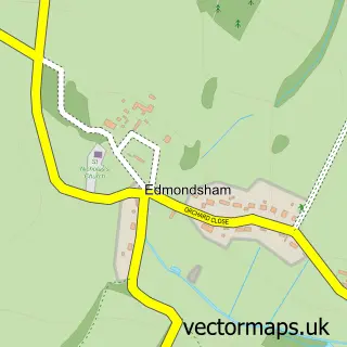
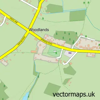
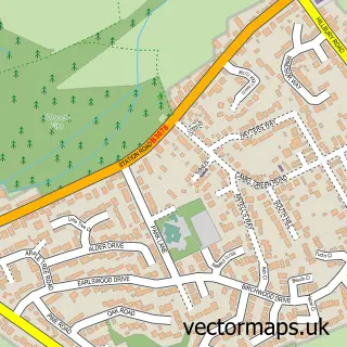
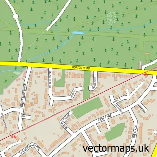
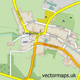
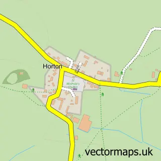
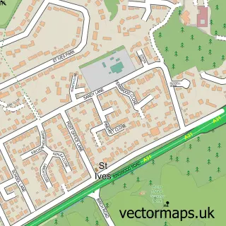
Nearby street map samples around Verwood

More street maps in Dorset
750 metre map area coverage
Boundary, postcode and point of interest information for the 750m x 750m rectangle centred on this sample map.
Boundaries containing map centre
Constituency: North Dorset Co Const
District: Dorset
Icb: NHS Dorset ICB
Parish: Verwood CP
Police Force: dorset
Postcode District: BH31
Postcode Sector: BH31 7
Ward: Verwood Ward
Nearby boundaries intersecting sample
Postcode Sector: BH31 6
Postcode coverage
POI category counts
Dentist: 8
Beauty Salon: 7
Hair Salon: 5
Church Cathedral: 4
Barber: 3
Cafe: 3
Coffee Shop: 3
Contractor: 3
Real Estate Agent: 3
Retail: 3
Sample points of interest
- Grant Sellers
- J P Marine Dorset Ltd.
- Body Tranquility
- Baileys of Verwood
- Fayrewood Property
- Campbell & Rose Gallery and Workshop
- Altogether Care - Care At Home (verwood)
- 2County Hearing
- Audable Ear Care
- Apex Dent Removal
- Ceritas Solutions
- Emma's Bakery
Create a larger editable map of Verwood
This sample shows only a 750 metre area. To create a larger map of Verwood, use our map builder to choose your own coverage area, add titles and download editable SVG, PDF and PNG files.
Create a custom map of Verwood