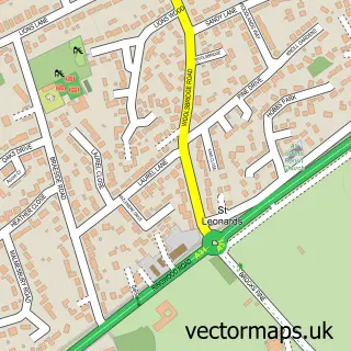
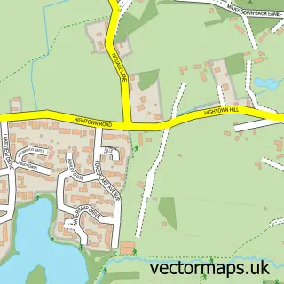
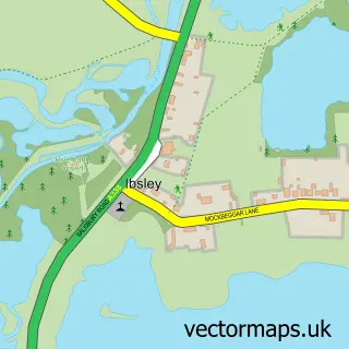
This St Ives street map is a detailed vector street map covering a 750m x 750m area. Select a larger area to create and download your own vector street map of St Ives.
The 750-metre map sample for St Ives covers 427 mapped buildings and approximately 18.1 km of road detail, of which 20 named roads are named. The immediate area includes 1 school, 1 GP surgery within 2 miles and 12 MOT stations within 2 miles. The wider area around St Ives features 1 tourism point of interest and 5 campsites within 2 miles. To create a larger or custom map of St Ives, the map builder lets you define your own coverage area and download editable SVG, PDF and PNG files.
Create a larger editable map of St Ives
Choose any area you need and generate a high-quality vector map instantly. Perfect for print, planning, design, business and personal use.

This St Ives street map in Dorset is available as downloadable SVG, PDF and PNG map files, or as a printed map for planning, business, display, education, local information and design work. You can also create a larger custom map area using the map selector.
What this St Ives map sample shows
St Ives lies within St. Leonards And St. Ives Cp parish, part of St Leonards & St Ives ward in the Dorset local authority area. The postcode geography for this area includes the BH postcode area, the BH24 postcode district and the BH24 2 postcode sector. Residents fall under the Nhs Dorset Integrated Care Board for NHS services.
Local features near St Ives
Within 2 milesAmenities and services in and around St Ives.
Administrative and postcode information for St Ives
St Ives lies within St. Leonards And St. Ives Cp parish, part of St Leonards & St Ives ward in the Dorset local authority area. The postcode geography for this area includes the BH postcode area, the BH24 postcode district and the BH24 2 postcode sector. Residents fall under the Nhs Dorset Integrated Care Board for NHS services.
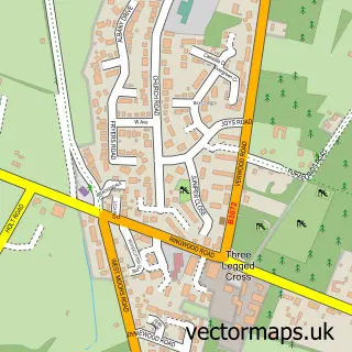
Nearby street map samples around St Ives

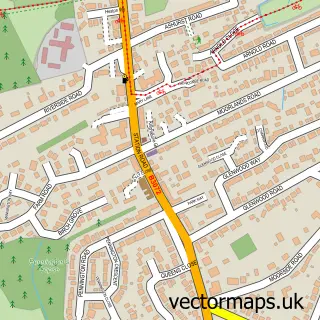
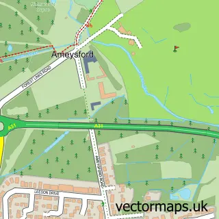
More street maps in Dorset
750 metre map area coverage
Boundary, postcode and point of interest information for the 750m x 750m rectangle centred on this sample map.
Boundaries containing map centre
Constituency: Christchurch Co Const
District: Dorset
Icb: NHS Dorset ICB
Parish: St. Leonards and St. Ives CP
Police Force: dorset
Postcode District: BH24
Postcode Sector: BH24 2
Ward: St. Leonards & St. Ives Ward
Nearby boundaries intersecting sample
No additional intersecting boundaries found.
Postcode coverage
POI category counts
Professional Services: 3
Education: 2
Advertising Agency: 1
Bed And Breakfast: 1
Bridal Shop: 1
Bus Station: 1
Business Management Services: 1
Convenience Store: 1
Elementary School: 1
Garbage Collection Service: 1
Sample points of interest
- Clare Artwork
- Heatherbank
- The Savour Co
- St. Ives Post Office
- Stone Design
- Londis Londis
- St Ives First School
- Stagecoach Theatre Arts Ferndown
- St Ives Primary & Nursery School
- South Coast Clearance
- Solar Services
- St Ives
Create a larger editable map of St Ives
This sample shows only a 750 metre area. To create a larger map of St Ives, use our map builder to choose your own coverage area, add titles and download editable SVG, PDF and PNG files.
Create a custom map of St Ives