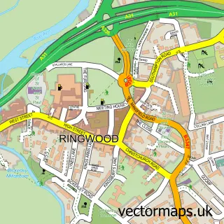
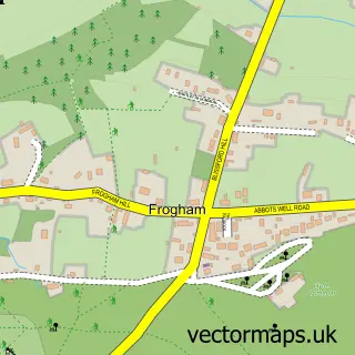
This Poulner street map is a detailed vector street map covering a 750m x 750m area. Select a larger area to create and download your own vector street map of Poulner.
The 750-metre map sample for Poulner covers 617 mapped buildings and approximately 19.0 km of road detail, of which 40 named roads are named. The immediate area includes 1 GP surgery, with 2 within 2 miles, 2 pubs and 9 MOT stations within 2 miles. The wider area around Poulner features 2 tourism points of interest and 2 food and drink venues. To create a larger or custom map of Poulner, the map builder lets you define your own coverage area and download editable SVG, PDF and PNG files.
Create a larger editable map of Poulner
Choose any area you need and generate a high-quality vector map instantly. Perfect for print, planning, design, business and personal use.

This Poulner street map in Hampshire is available as downloadable SVG, PDF and PNG map files, or as a printed map for planning, business, display, education, local information and design work. You can also create a larger custom map area using the map selector.
What this Poulner map sample shows
Poulner lies within Ringwood Cp parish, part of Ringwood North ward in the New Forest District local authority area. The postcode geography for this area includes the BH postcode area, the BH24 postcode district and the BH24 1 postcode sector. Residents fall under the Nhs Hampshire And Isle Of Wight Integrated Care Board for NHS services.
Local features near Poulner
Within 2 milesAmenities and services in and around Poulner.
Administrative and postcode information for Poulner
Poulner lies within Ringwood Cp parish, part of Ringwood North ward in the New Forest District local authority area. The postcode geography for this area includes the BH postcode area, the BH24 postcode district and the BH24 1 postcode sector. Residents fall under the Nhs Hampshire And Isle Of Wight Integrated Care Board for NHS services.
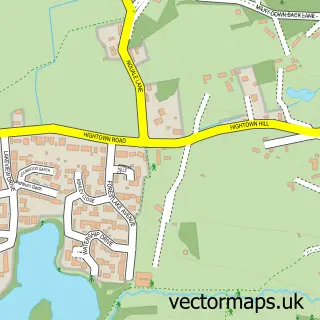
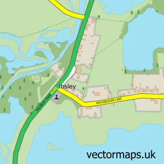
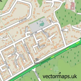
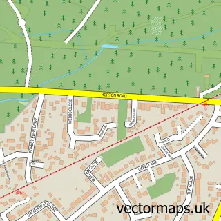
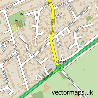
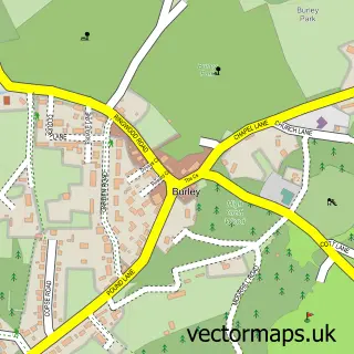
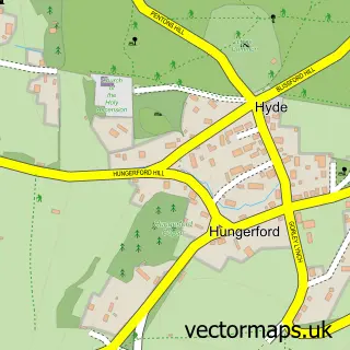
Nearby street map samples around Poulner

More street maps in Hampshire
750 metre map area coverage
Boundary, postcode and point of interest information for the 750m x 750m rectangle centred on this sample map.
Boundaries containing map centre
Constituency: New Forest West Co Const
County: Hampshire County
District: New Forest District
Icb: NHS Hampshire and Isle of Wight ICB
Parish: Ringwood CP
Police Force: hampshire
Postcode District: BH24
Postcode Sector: BH24 1
Ward: Ringwood North & Ellingham Ward
Nearby boundaries intersecting sample
Postcode Sector: BH24 3
Postcode coverage
POI category counts
It Service And Computer Repair: 3
Photographer: 2
Pub: 2
Roofing: 2
Scout Hall: 2
Veterinarian: 2
Wedding Planning: 2
Acupuncture: 1
Assisted Living Facility: 1
Audiologist: 1
Sample points of interest
- Ringwood Acupuncture
- Achieve Together
- The Private Ear Clinic
- R A Starks Electrical Contractors
- Belinda's Bakery
- Gregory Adams Roofing
- New Forest Trading Company
- We Love Holiday Rentals
- WildRevive
- Poulner Pre School
- Cancer Research UK
- Avon Valley Developments
Create a larger editable map of Poulner
This sample shows only a 750 metre area. To create a larger map of Poulner, use our map builder to choose your own coverage area, add titles and download editable SVG, PDF and PNG files.
Create a custom map of Poulner