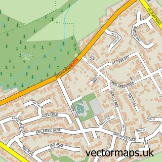
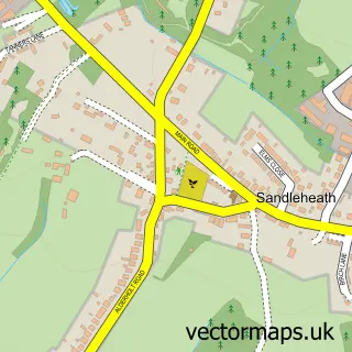
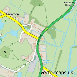
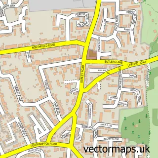
This Hyde street map is a detailed vector street map covering a 750m x 750m area. Select a larger area to create and download your own vector street map of Hyde.
The 750-metre map sample for Hyde covers 136 mapped buildings and approximately 8.5 km of road detail, of which 4 named roads are named. The immediate area includes 1 school, 1 GP surgery within 2 miles and 3 MOT stations within 2 miles. The wider area around Hyde features 2 tourism points of interest, 3 food and drink venues and 3 campsites within 2 miles. To create a larger or custom map of Hyde, the map builder lets you define your own coverage area and download editable SVG, PDF and PNG files.
Create a larger editable map of Hyde
Choose any area you need and generate a high-quality vector map instantly. Perfect for print, planning, design, business and personal use.

This Hyde street map in Hampshire is available as downloadable SVG, PDF and PNG map files, or as a printed map for planning, business, display, education, local information and design work. You can also create a larger custom map area using the map selector.
What this Hyde map sample shows
Hyde lies within Hyde Cp parish, part of Forest North West ward in the New Forest District local authority area. The postcode geography for this area includes the SP postcode area, the SP6 postcode district and the SP6 2 postcode sector. Residents fall under the Nhs Hampshire And Isle Of Wight Integrated Care Board for NHS services.
Local features near Hyde
Within 2 milesAmenities and services in and around Hyde.
Administrative and postcode information for Hyde
Hyde lies within Hyde Cp parish, part of Forest North West ward in the New Forest District local authority area. The postcode geography for this area includes the SP postcode area, the SP6 postcode district and the SP6 2 postcode sector. Residents fall under the Nhs Hampshire And Isle Of Wight Integrated Care Board for NHS services.
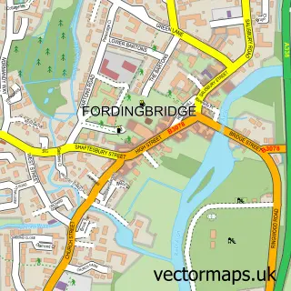
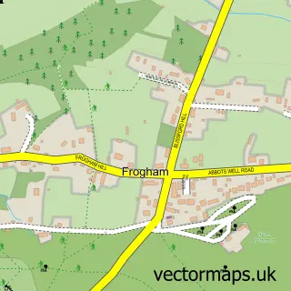
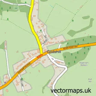
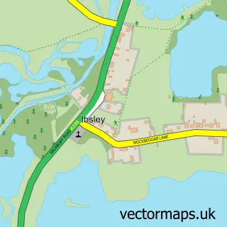
Nearby street map samples around Hyde


More street maps in Hampshire
750 metre map area coverage
Boundary, postcode and point of interest information for the 750m x 750m rectangle centred on this sample map.
Boundaries containing map centre
Constituency: New Forest West Co Const
County: Hampshire County
District: New Forest District
Icb: NHS Hampshire and Isle of Wight ICB
Parish: Hyde CP
Police Force: hampshire
Postcode District: SP6
Postcode Sector: SP6 2
Ward: Fordingbridge, Godshill & Hyde Ward
Nearby boundaries intersecting sample
No additional intersecting boundaries found.
Postcode coverage
POI category counts
Cafe: 2
Church Cathedral: 2
Anglican Church: 1
Bar: 1
Education: 1
Elementary School: 1
Holiday Rental Home: 1
Home And Garden: 1
Landmark And Historical Building: 1
Martial Arts Club: 1
Sample points of interest
- Holy Ascension, Hyde, Hampshire
- Hyde Ex Service & Social Club
- The Potting Shed Hyde
- The Stables Tea Rooms
- Hyde Church
- The Holy Ascension Church
- Hyde Pre-school
- Hyde Church of England Primary School
- Forest Palms Holiday Let
- Hyde Country Stores
- Hungerford, Hampshire
- Takemusu Aikido
Create a larger editable map of Hyde
This sample shows only a 750 metre area. To create a larger map of Hyde, use our map builder to choose your own coverage area, add titles and download editable SVG, PDF and PNG files.
Create a custom map of Hyde