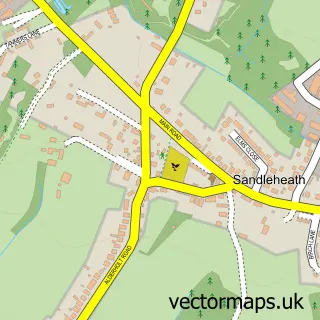
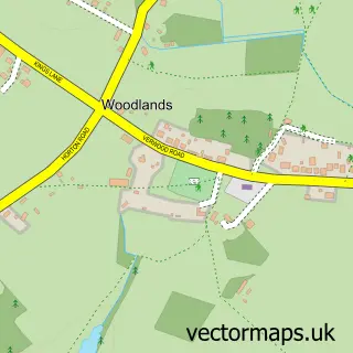
This Alderholt street map is a detailed vector street map covering a 750m x 750m area. Select a larger area to create and download your own vector street map of Alderholt.
The 750-metre map sample for Alderholt covers 574 mapped buildings and approximately 12.8 km of road detail, of which 29 named roads are named. The immediate area includes 1 school, 1 GP surgery within 2 miles and 2 MOT stations within 2 miles. The wider area around Alderholt features 1 hotel and 4 campsites within 2 miles. To create a larger or custom map of Alderholt, the map builder lets you define your own coverage area and download editable SVG, PDF and PNG files.
Create a larger editable map of Alderholt
Choose any area you need and generate a high-quality vector map instantly. Perfect for print, planning, design, business and personal use.

This Alderholt street map in Dorset is available as downloadable SVG, PDF and PNG map files, or as a printed map for planning, business, display, education, local information and design work. You can also create a larger custom map area using the map selector.
What this Alderholt map sample shows
Alderholt lies within Alderholt Cp parish, part of Cranborne & Alderholt ward in the Dorset local authority area. The postcode geography for this area includes the SP postcode area, the SP6 postcode district and the SP6 3 postcode sector. Residents fall under the Nhs Dorset Integrated Care Board for NHS services.
Local features near Alderholt
Within 2 milesAmenities and services in and around Alderholt.
Administrative and postcode information for Alderholt
Alderholt lies within Alderholt Cp parish, part of Cranborne & Alderholt ward in the Dorset local authority area. The postcode geography for this area includes the SP postcode area, the SP6 postcode district and the SP6 3 postcode sector. Residents fall under the Nhs Dorset Integrated Care Board for NHS services.
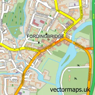
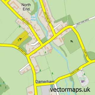
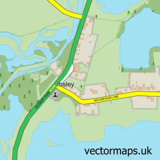
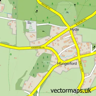
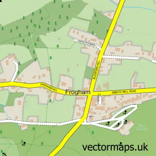
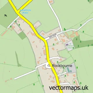
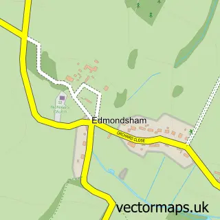
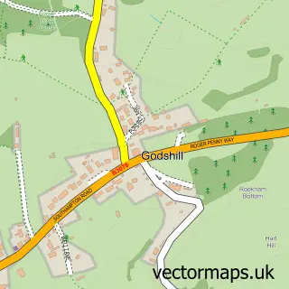
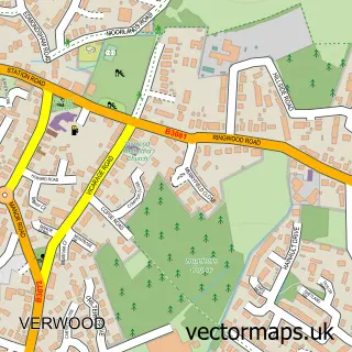
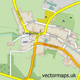
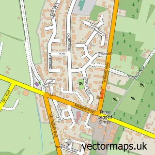
Nearby street map samples around Alderholt

More street maps in Dorset
750 metre map area coverage
Boundary, postcode and point of interest information for the 750m x 750m rectangle centred on this sample map.
Boundaries containing map centre
Constituency: North Dorset Co Const
District: Dorset
Icb: NHS Dorset ICB
Parish: Alderholt CP
Police Force: dorset
Postcode District: SP6
Postcode Sector: SP6 3
Ward: Cranborne & Alderholt Ward
Nearby boundaries intersecting sample
No additional intersecting boundaries found.
Postcode coverage
POI category counts
Doctor: 2
Professional Services: 2
Active Life: 1
Beauty And Spa: 1
Beauty Salon: 1
Bed And Breakfast: 1
Butcher Shop: 1
Carpenter: 1
Carpet Cleaning: 1
Childrens Clothing Store: 1
Sample points of interest
- Alderholt riding & livery stables
- Beauty In The Woods By Kari
- Kalista Aesthetics - Alderholt near Fordingbridge
- Hillbury
- Allenbrook farm meats
- Drew Smith Carpentry
- Mr Clean & Tidy
- The Rainbow Machine
- Alderholt Chapel
- Brigitte Scott Psychotherapists
- Alderholt Branch Surgery
- Cranborne Practice
Create a larger editable map of Alderholt
This sample shows only a 750 metre area. To create a larger map of Alderholt, use our map builder to choose your own coverage area, add titles and download editable SVG, PDF and PNG files.
Create a custom map of Alderholt