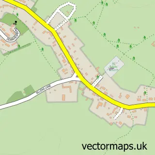
This Damerham street map is a detailed vector street map covering a 750m x 750m area. Select a larger area to create and download your own vector street map of Damerham.
The 750-metre map sample for Damerham covers 113 mapped buildings and approximately 10.7 km of road detail, of which 9 named roads are named. The immediate area includes 1 MOT station, with 2 within 2 miles. The wider area around Damerham features 2 campsites within 2 miles. To create a larger or custom map of Damerham, the map builder lets you define your own coverage area and download editable SVG, PDF and PNG files.
Create a larger editable map of Damerham
Choose any area you need and generate a high-quality vector map instantly. Perfect for print, planning, design, business and personal use.

This Damerham street map in Hampshire is available as downloadable SVG, PDF and PNG map files, or as a printed map for planning, business, display, education, local information and design work. You can also create a larger custom map area using the map selector.
What this Damerham map sample shows
Damerham lies within Damerham Cp parish, part of Downlands And Forest ward in the New Forest District local authority area. The postcode geography for this area includes the SP postcode area, the SP6 postcode district and the SP6 3 postcode sector. Residents fall under the Nhs Hampshire And Isle Of Wight Integrated Care Board for NHS services.
Local features near Damerham
Within 2 milesAmenities and services in and around Damerham.
Administrative and postcode information for Damerham
Damerham lies within Damerham Cp parish, part of Downlands And Forest ward in the New Forest District local authority area. The postcode geography for this area includes the SP postcode area, the SP6 postcode district and the SP6 3 postcode sector. Residents fall under the Nhs Hampshire And Isle Of Wight Integrated Care Board for NHS services.
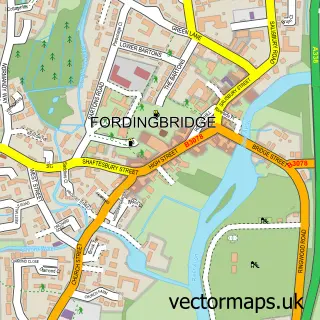
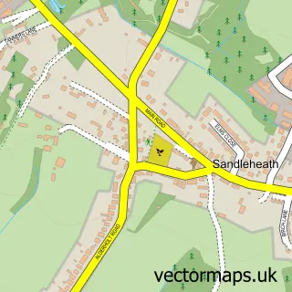
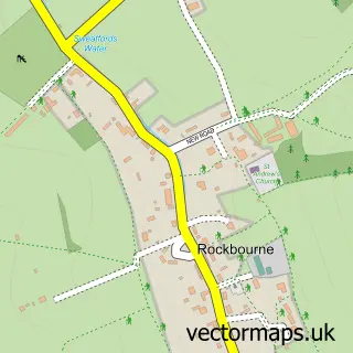
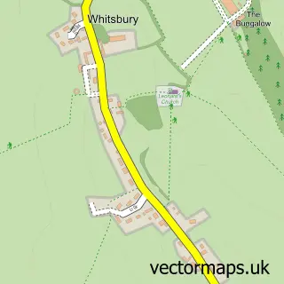
Nearby street map samples around Damerham

More street maps in Hampshire
750 metre map area coverage
Boundary, postcode and point of interest information for the 750m x 750m rectangle centred on this sample map.
Boundaries containing map centre
Constituency: New Forest West Co Const
County: Hampshire County
District: New Forest District
Icb: NHS Hampshire and Isle of Wight ICB
Parish: Damerham CP
Police Force: hampshire
Postcode District: SP6
Postcode Sector: SP6 3
Ward: Downlands & Forest North Ward
Nearby boundaries intersecting sample
No additional intersecting boundaries found.
Postcode coverage
POI category counts
Church Cathedral: 2
Alternative Medicine: 1
Anglican Church: 1
Antique Store: 1
Art Restoration Service: 1
Bed And Breakfast: 1
Building Supply Store: 1
Elementary School: 1
Event Planning: 1
Gym: 1
Sample points of interest
- A B Reiki & Massage
- St George's, Damerham
- Francis Nicklen
- Francis Nicklen
- The Compasses Inn
- Craftsmen4You
- Damerham Methodist Church
- St George's Church
- Western Downland C of E Primary School
- Damerham Village Hall
- AFC Damerham
- Cracknell Timber Services Ltd.
Create a larger editable map of Damerham
This sample shows only a 750 metre area. To create a larger map of Damerham, use our map builder to choose your own coverage area, add titles and download editable SVG, PDF and PNG files.
Create a custom map of Damerham