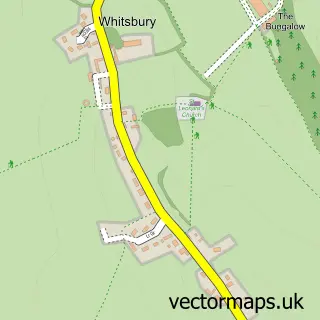
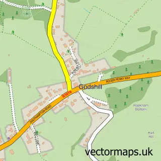
This Sandleheath street map is a detailed vector street map covering a 750m x 750m area. Select a larger area to create and download your own vector street map of Sandleheath.
The 750-metre map sample for Sandleheath covers 240 mapped buildings and approximately 10.0 km of road detail, of which 6 named roads are named. The immediate area includes 1 GP surgery within 2 miles and 5 MOT stations within 2 miles. The wider area around Sandleheath features 1 tourism point of interest and 4 campsites within 2 miles. To create a larger or custom map of Sandleheath, the map builder lets you define your own coverage area and download editable SVG, PDF and PNG files.
Create a larger editable map of Sandleheath
Choose any area you need and generate a high-quality vector map instantly. Perfect for print, planning, design, business and personal use.

This Sandleheath street map in Hampshire is available as downloadable SVG, PDF and PNG map files, or as a printed map for planning, business, display, education, local information and design work. You can also create a larger custom map area using the map selector.
What this Sandleheath map sample shows
Sandleheath lies within Sandleheath Cp parish, part of Fordingbridge ward in the New Forest District local authority area. The postcode geography for this area includes the SP postcode area, the SP6 postcode district and the SP6 1 postcode sector. Residents fall under the Nhs Hampshire And Isle Of Wight Integrated Care Board for NHS services.
Local features near Sandleheath
Within 2 milesAmenities and services in and around Sandleheath.
Administrative and postcode information for Sandleheath
The local authority covering Sandleheath is New Forest District, within the county of Hampshire. The settlement lies within Fordingbridge ward and Sandleheath Cp civil parish. The SP6 postcode district and SP6 1 postcode sector serve the immediate area. NHS provision in the area is delivered through Salisbury Nhs Foundation Trust.
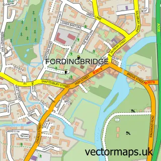
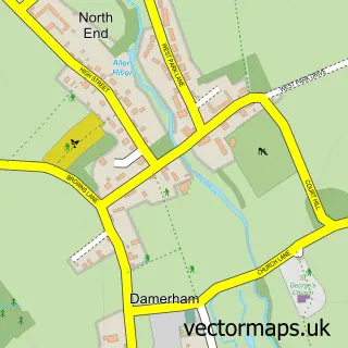
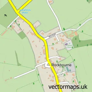
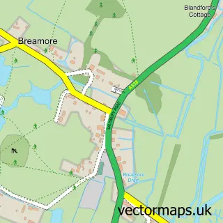
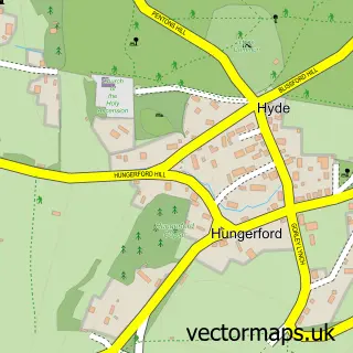
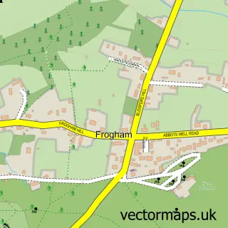
Nearby street map samples around Sandleheath

More street maps in Hampshire
750 metre map area coverage
Boundary, postcode and point of interest information for the 750m x 750m rectangle centred on this sample map.
Boundaries containing map centre
Constituency: New Forest West Co Const
County: Hampshire County
District: New Forest District
Icb: NHS Hampshire and Isle of Wight ICB
Parish: Sandleheath CP
Police Force: hampshire
Postcode District: SP6
Postcode Sector: SP6 1
Ward: Downlands & Forest North Ward
Nearby boundaries intersecting sample
Parish: Damerham CP
Postcode coverage
POI category counts
Business Manufacturing And Supply: 2
Shipping Center: 2
Advertising Agency: 1
Anglican Church: 1
Automotive Parts And Accessories: 1
Baby Gear And Furniture: 1
Bakery: 1
Bike Repair Maintenance: 1
Building Supply Store: 1
Business Management Services: 1
Sample points of interest
- Laura Downing Associates
- Sandleheath Uniting Church
- Universal Turbos
- Baby Sleep Shop
- Blossom and Bloom Cake Company
- Ebike Motor Centre
- Dt Stone
- August Design
- Alimax Aluminium Fabrications
- The Forest Firewood Company
- Xcs
- About Presentation Ltd.
Create a larger editable map of Sandleheath
This sample shows only a 750 metre area. To create a larger map of Sandleheath, use our map builder to choose your own coverage area, add titles and download editable SVG, PDF and PNG files.
Create a custom map of Sandleheath