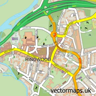
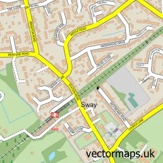
This Burley street map is a detailed vector street map covering a 750m x 750m area. Select a larger area to create and download your own vector street map of Burley.
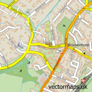
The 750-metre map sample for Burley covers 177 mapped buildings and approximately 10.8 km of road detail, of which 14 named roads are named. The immediate area includes 1 school, 4 pubs and 1 MOT station. The wider area around Burley features 3 tourism points of interest, 8 food and drink venues and 2 hotels. To create a larger or custom map of Burley, the map builder lets you define your own coverage area and download editable SVG, PDF and PNG files.
Create a larger editable map of Burley
Choose any area you need and generate a high-quality vector map instantly. Perfect for print, planning, design, business and personal use.

This Burley street map in Hampshire is available as downloadable SVG, PDF and PNG map files, or as a printed map for planning, business, display, education, local information and design work. You can also create a larger custom map area using the map selector.
What this Burley map sample shows
Burley lies within Burley Cp parish, part of Bransgore And Burley ward in the New Forest District local authority area. The postcode geography for this area includes the BH postcode area, the BH24 postcode district and the BH24 4 postcode sector. Residents fall under the Nhs Hampshire And Isle Of Wight Integrated Care Board for NHS services.
Local features near Burley
Within 2 milesAmenities and services in and around Burley.
Administrative and postcode information for Burley
Burley lies within Burley Cp parish, part of Bransgore And Burley ward in the New Forest District local authority area. The postcode geography for this area includes the BH postcode area, the BH24 postcode district and the BH24 4 postcode sector. Residents fall under the Nhs Hampshire And Isle Of Wight Integrated Care Board for NHS services.
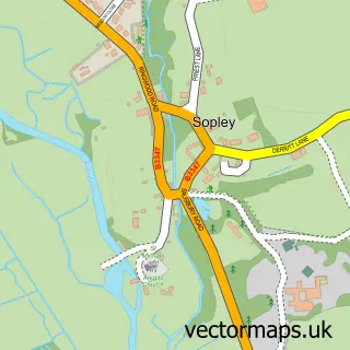
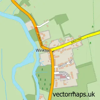
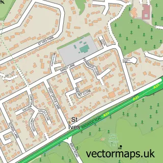
Nearby street map samples around Burley

More street maps in Hampshire
750 metre map area coverage
Boundary, postcode and point of interest information for the 750m x 750m rectangle centred on this sample map.
Boundaries containing map centre
Constituency: New Forest West Co Const
County: Hampshire County
District: New Forest District
Icb: NHS Hampshire and Isle of Wight ICB
Parish: Burley CP
Police Force: hampshire
Postcode District: BH24
Postcode Sector: BH24 4
Ward: Bransgore, Burley, Sopley & Ringwood East Ward
Nearby boundaries intersecting sample
No additional intersecting boundaries found.
Postcode coverage
POI category counts
Flowers And Gifts Shop: 4
Pub: 4
Cafe: 3
Gift Shop: 3
Tea Room: 3
Bed And Breakfast: 2
Post Office: 2
Real Estate Agent: 2
Acupuncture: 1
Arts And Crafts: 1
Sample points of interest
- New Forest Acupuncture
- Coven of Witches
- Burley Steam and Vintage Vehicle Show
- Dawson Engineering Burley
- Vama Spa and Aesthetic
- Bay Tree House
- Forest Tea House B&B
- Forest Leisure Cycling
- New Forest Cycling
- Shappen Stores
- Noohn
- Shappen Cafe - Burley, New Forest
Create a larger editable map of Burley
This sample shows only a 750 metre area. To create a larger map of Burley, use our map builder to choose your own coverage area, add titles and download editable SVG, PDF and PNG files.
Create a custom map of Burley