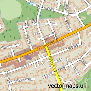
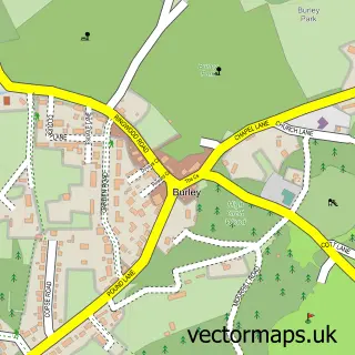
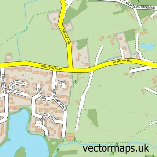
This Bransgore street map is a detailed vector street map covering a 750m x 750m area. Select a larger area to create and download your own vector street map of Bransgore.
The 750-metre map sample for Bransgore covers 448 mapped buildings and approximately 16.3 km of road detail, of which 28 named roads are named. The immediate area includes 1 GP surgery, 1 pub and 3 MOT stations within 2 miles. The wider area around Bransgore features 2 food and drink venues and 3 campsites within 2 miles. To create a larger or custom map of Bransgore, the map builder lets you define your own coverage area and download editable SVG, PDF and PNG files.
Create a larger editable map of Bransgore
Choose any area you need and generate a high-quality vector map instantly. Perfect for print, planning, design, business and personal use.

This Bransgore street map in Hampshire is available as downloadable SVG, PDF and PNG map files, or as a printed map for planning, business, display, education, local information and design work. You can also create a larger custom map area using the map selector.
What this Bransgore map sample shows
Bransgore lies within Bransgore Cp parish, part of Bransgore And Burley ward in the New Forest District local authority area. The postcode geography for this area includes the BH postcode area, the BH23 postcode district and the BH23 8 postcode sector. Residents fall under the Nhs Hampshire And Isle Of Wight Integrated Care Board for NHS services.
Local features near Bransgore
Within 2 milesAmenities and services in and around Bransgore.
Administrative and postcode information for Bransgore
The local authority covering Bransgore is New Forest District, within the county of Hampshire. The settlement lies within Bransgore And Burley ward and Bransgore Cp civil parish. The BH23 postcode district and BH23 8 postcode sector serve the immediate area. NHS provision in the area is delivered through University Hospitals Dorset Nhs Foundation Trust.
Nearby street map samples around Bransgore

More street maps in Hampshire
750 metre map area coverage
Boundary, postcode and point of interest information for the 750m x 750m rectangle centred on this sample map.
Boundaries containing map centre
Constituency: New Forest West Co Const
County: Hampshire County
District: New Forest District
Icb: NHS Hampshire and Isle of Wight ICB
Parish: Bransgore CP
Police Force: hampshire
Postcode District: BH23
Postcode Sector: BH23 8
Ward: Bransgore, Burley, Sopley & Ringwood East Ward
Nearby boundaries intersecting sample
Parish: Sopley CP
Postcode coverage
POI category counts
Beauty Salon: 3
Doctor: 3
Professional Services: 3
Building Supply Store: 2
Dog Walkers: 2
Hair Salon: 2
Package Locker: 2
Retail: 2
Shipping Center: 2
Active Life: 1
Sample points of interest
- Bransgore, New Forest
- Two Rivers Rakey
- Autism Wessex-rose Cottage
- H J Audio Visual
- Elizabeth's Bakery
- Wilson's Bar, Grill & Spa
- The Buck & Beard Barber Co
- Soul Surrender Beauty Salon
- TLC Nails & Beauty
- The Finishing Touch
- Instant Window Quote
- A S Beale
Create a larger editable map of Bransgore
This sample shows only a 750 metre area. To create a larger map of Bransgore, use our map builder to choose your own coverage area, add titles and download editable SVG, PDF and PNG files.
Create a custom map of Bransgore