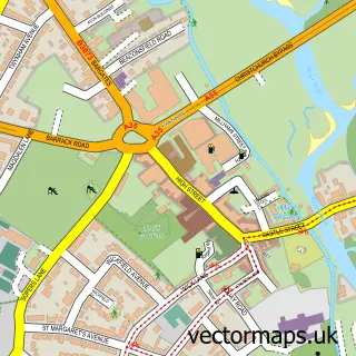
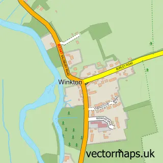
This Hurn street map is a detailed vector street map covering a 750m x 750m area. Select a larger area to create and download your own vector street map of Hurn.
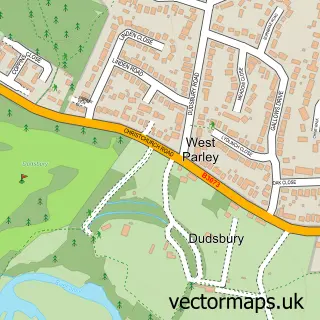
The 750-metre map sample for Hurn covers 62 mapped buildings and approximately 8.8 km of road detail, of which 7 named roads are named. The immediate area includes 2 GP surgeries within 2 miles and 2 MOT stations within 2 miles. The wider area around Hurn features 2 tourism points of interest, 1 food and drink venue and 1 campsite within 2 miles. To create a larger or custom map of Hurn, the map builder lets you define your own coverage area and download editable SVG, PDF and PNG files.
Create a larger editable map of Hurn
Choose any area you need and generate a high-quality vector map instantly. Perfect for print, planning, design, business and personal use.

This Hurn street map in Dorset is available as downloadable SVG, PDF and PNG map files, or as a printed map for planning, business, display, education, local information and design work. You can also create a larger custom map area using the map selector.
What this Hurn map sample shows
Hurn lies within Hurn Cp parish, part of Commons ward in the Bournemouth, Christchurch And Poole local authority area. The postcode geography for this area includes the BH postcode area, the BH23 postcode district and the BH23 6 postcode sector. Residents fall under the Nhs Dorset Integrated Care Board for NHS services.
Local features near Hurn
Within 2 milesAmenities and services in and around Hurn.
Administrative and postcode information for Hurn
The local authority covering Hurn is Bournemouth, Christchurch And Poole, within the county of Dorset. The settlement lies within Commons ward and Hurn Cp civil parish. The BH23 postcode district and BH23 6 postcode sector serve the immediate area. NHS provision in the area is delivered through University Hospitals Dorset Nhs Foundation Trust.
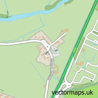
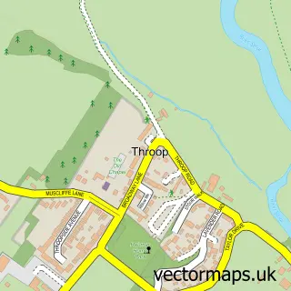
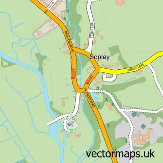
Nearby street map samples around Hurn

More street maps in Dorset
750 metre map area coverage
Boundary, postcode and point of interest information for the 750m x 750m rectangle centred on this sample map.
Boundaries containing map centre
Constituency: Christchurch Co Const
District: Bournemouth, Christchurch and Poole
Icb: NHS Dorset ICB
Parish: Hurn CP
Police Force: dorset
Postcode District: BH23
Postcode Sector: BH23 6
Ward: Commons Ward
Nearby boundaries intersecting sample
No additional intersecting boundaries found.
Postcode coverage
POI category counts
Post Office: 3
Sports Club And League: 3
Building Supply Store: 2
Contractor: 2
Metal Fabricator: 2
Business Manufacturing And Supply: 1
Caterer: 1
Corporate Office: 1
Cricket Ground: 1
Dog Park: 1
Sample points of interest
- High-Tek Hire Services Ltd.
- High-Tek Scaffolding Ltd.
- Bio Commercial Cold Press Juicers
- Hot & Cold Bournemouth Ltd.
- B J Malone
- BJ Malone Ltd
- Westec Engineering Ltd
- Dorset Cricket Centre
- Teddy’s Playhouse
- Miles Ahead
- ABC Leisure Hire
- Ramsdown Forest
Create a larger editable map of Hurn
This sample shows only a 750 metre area. To create a larger map of Hurn, use our map builder to choose your own coverage area, add titles and download editable SVG, PDF and PNG files.
Create a custom map of Hurn