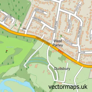
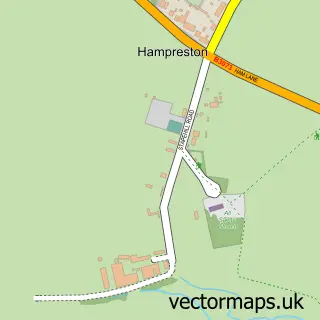
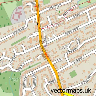
This West Parley street map is a detailed vector street map covering a 750m x 750m area. Select a larger area to create and download your own vector street map of West Parley.
The 750-metre map sample for West Parley covers 600 mapped buildings and approximately 15.2 km of road detail, of which 26 named roads are named. The immediate area includes 4 GP surgeries within 2 miles and 10 MOT stations within 2 miles. The wider area around West Parley features 1 hotel and 1 campsite within 2 miles. To create a larger or custom map of West Parley, the map builder lets you define your own coverage area and download editable SVG, PDF and PNG files.
Create a larger editable map of West Parley
Choose any area you need and generate a high-quality vector map instantly. Perfect for print, planning, design, business and personal use.

This West Parley street map in Dorset is available as downloadable SVG, PDF and PNG map files, or as a printed map for planning, business, display, education, local information and design work. You can also create a larger custom map area using the map selector.
What this West Parley map sample shows
West Parley lies within West Parley Cp parish, part of West Parley ward in the Dorset local authority area. The postcode geography for this area includes the BH postcode area, the BH22 postcode district and the BH22 8 postcode sector. Residents fall under the Nhs Dorset Integrated Care Board for NHS services.
Local features near West Parley
Within 2 milesAmenities and services in and around West Parley.
Administrative and postcode information for West Parley
West Parley lies within West Parley Cp parish, part of West Parley ward in the Dorset local authority area. The postcode geography for this area includes the BH postcode area, the BH22 postcode district and the BH22 8 postcode sector. Residents fall under the Nhs Dorset Integrated Care Board for NHS services.
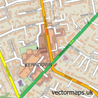
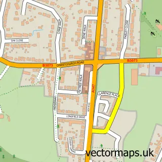
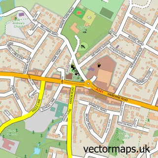
Nearby street map samples around West Parley

More street maps in Dorset
750 metre map area coverage
Boundary, postcode and point of interest information for the 750m x 750m rectangle centred on this sample map.
Boundaries containing map centre
Constituency: Christchurch Co Const
District: Dorset
Icb: NHS Dorset ICB
Parish: West Parley CP
Police Force: dorset
Postcode District: BH22
Postcode Sector: BH22 8
Ward: West Parley Ward
Nearby boundaries intersecting sample
No additional intersecting boundaries found.
Postcode coverage
POI category counts
Electrician: 3
Builders: 1
Building Supply Store: 1
Business Consulting: 1
Ceiling Service: 1
Computer Hardware Company: 1
Construction Services: 1
Contractor: 1
Driving School: 1
Education: 1
Sample points of interest
- Blueridge Construction
- Bennett Geoffrey Electrical Contractors
- Renton Horn
- Bournemouth Roofing Co. Ltd.
- Doortechnique - Garage Doors Ferndown Garage Door Repairs Do
- Build Reliance
- JV Marston Builders
- Drivewell
- The Wiltshire & Dorset Deaf Association
- Geoffrey Bennett Ltd.
- M Electrical
- Probyn Electrical Ltd
Create a larger editable map of West Parley
This sample shows only a 750 metre area. To create a larger map of West Parley, use our map builder to choose your own coverage area, add titles and download editable SVG, PDF and PNG files.
Create a custom map of West Parley