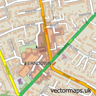
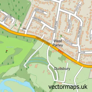
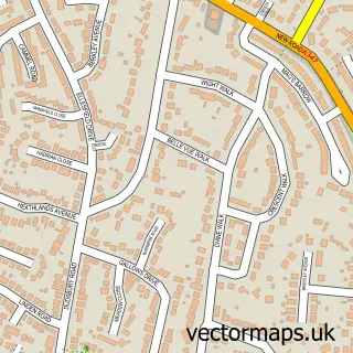
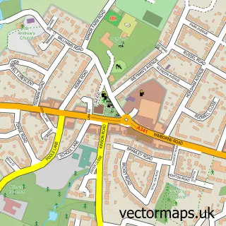
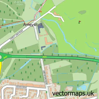
This Parley Cross street map is a detailed vector street map covering a 750m x 750m area. Select a larger area to create and download your own vector street map of Parley Cross.
The 750-metre map sample for Parley Cross covers 355 mapped buildings and approximately 12.3 km of road detail, of which 14 named roads are named. The immediate area includes 6 GP surgeries within 2 miles, 1 pub and 10 MOT stations within 2 miles. The wider area around Parley Cross features 2 tourism points of interest and 2 food and drink venues. To create a larger or custom map of Parley Cross, the map builder lets you define your own coverage area and download editable SVG, PDF and PNG files.
Create a larger editable map of Parley Cross
Choose any area you need and generate a high-quality vector map instantly. Perfect for print, planning, design, business and personal use.

This Parley Cross street map in Dorset is available as downloadable SVG, PDF and PNG map files, or as a printed map for planning, business, display, education, local information and design work. You can also create a larger custom map area using the map selector.
What this Parley Cross map sample shows
Parley Cross lies within West Parley Cp parish, part of West Parley ward in the Dorset local authority area. The postcode geography for this area includes the BH postcode area, the BH22 postcode district and the BH22 8 postcode sector. Residents fall under the Nhs Dorset Integrated Care Board for NHS services.
Local features near Parley Cross
Within 2 milesAmenities and services in and around Parley Cross.
Administrative and postcode information for Parley Cross
Parley Cross lies within West Parley Cp parish, part of West Parley ward in the Dorset local authority area. The postcode geography for this area includes the BH postcode area, the BH22 postcode district and the BH22 8 postcode sector. Residents fall under the Nhs Dorset Integrated Care Board for NHS services.
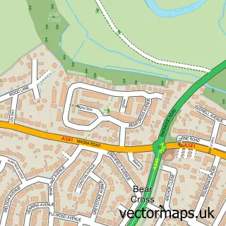
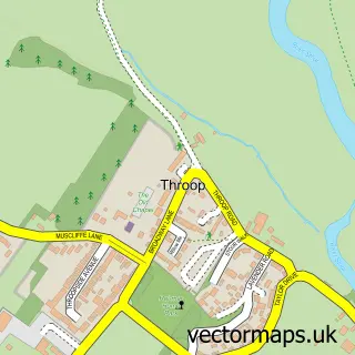
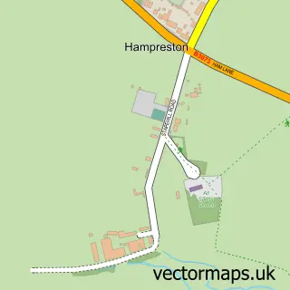
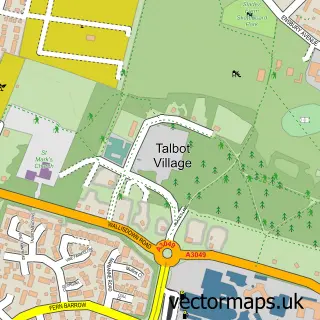
Nearby street map samples around Parley Cross

More street maps in Dorset
750 metre map area coverage
Boundary, postcode and point of interest information for the 750m x 750m rectangle centred on this sample map.
Boundaries containing map centre
Constituency: Christchurch Co Const
District: Dorset
Icb: NHS Dorset ICB
Parish: West Parley CP
Police Force: dorset
Postcode District: BH22
Postcode Sector: BH22 8
Ward: West Parley Ward
Nearby boundaries intersecting sample
No additional intersecting boundaries found.
Postcode coverage
POI category counts
Hair Salon: 3
Barber: 2
Beauty And Spa: 2
Beauty Salon: 2
Carpenter: 2
Home Developer: 2
Pet Groomer: 2
Retail: 2
Sandwich Shop: 2
Shipping Center: 2
Sample points of interest
- Barchester - Parley Place Care Home
- Barber 77
- Crop Barbers
- Dr SJP Aesthetics
- Harley Court Cosmetic Centres
- Creations
- Harpers Hair Boutique
- Lawn Ranger
- Ferndown Carwash
- Burchmore Joinery
- Wilsons Carpentry and Joinery
- Tiegla Tiles
Create a larger editable map of Parley Cross
This sample shows only a 750 metre area. To create a larger map of Parley Cross, use our map builder to choose your own coverage area, add titles and download editable SVG, PDF and PNG files.
Create a custom map of Parley Cross