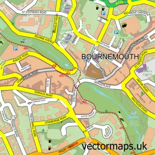
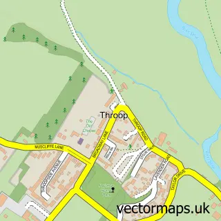
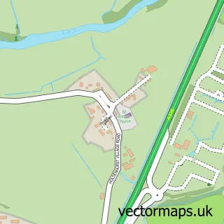
This Talbot Village street map is a detailed vector street map covering a 750m x 750m area. Select a larger area to create and download your own vector street map of Talbot Village.
The 750-metre map sample for Talbot Village covers 198 mapped buildings and approximately 9.7 km of road detail, of which 18 named roads are named. The immediate area includes 2 schools, 9 GP surgeries within 2 miles and 36 MOT stations within 2 miles. The wider area around Talbot Village features 2 tourism points of interest and 3 food and drink venues. To create a larger or custom map of Talbot Village, the map builder lets you define your own coverage area and download editable SVG, PDF and PNG files.
Create a larger editable map of Talbot Village
Choose any area you need and generate a high-quality vector map instantly. Perfect for print, planning, design, business and personal use.

This Talbot Village street map in Dorset is available as downloadable SVG, PDF and PNG map files, or as a printed map for planning, business, display, education, local information and design work. You can also create a larger custom map area using the map selector.
What this Talbot Village map sample shows
Talbot Village lies within Bournemouth, Christchurch And Poole parish, part of Kinson ward in the Bournemouth, Christchurch And Poole local authority area. The postcode geography for this area includes the BH postcode area, the BH11 postcode district and the BH11 9 postcode sector. Residents fall under the Nhs Dorset Integrated Care Board for NHS services.
Local features near Talbot Village
Within 2 milesAmenities and services in and around Talbot Village.
Administrative and postcode information for Talbot Village
Talbot Village lies within Bournemouth, Christchurch And Poole parish, part of Kinson ward in the Bournemouth, Christchurch And Poole local authority area. The postcode geography for this area includes the BH postcode area, the BH11 postcode district and the BH11 9 postcode sector. Residents fall under the Nhs Dorset Integrated Care Board for NHS services.
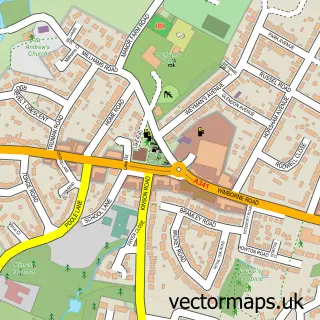
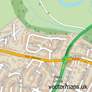
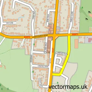
Nearby street map samples around Talbot Village

More street maps in Dorset
750 metre map area coverage
Boundary, postcode and point of interest information for the 750m x 750m rectangle centred on this sample map.
Boundaries containing map centre
Constituency: Bournemouth West Boro Const
District: Bournemouth, Christchurch and Poole
Icb: NHS Dorset ICB
Police Force: dorset
Postcode District: BH10
Postcode Sector: BH10 4
Ward: Wallisdown & Winton West Ward
Nearby boundaries intersecting sample
Postcode District: BH12
Postcode Sector: BH12 5
Ward: Alderney & Bourne Valley Ward, Talbot & Branksome Woods Ward
Postcode coverage
POI category counts
Elementary School: 5
Coffee Shop: 3
College University: 3
Bookstore: 2
Park: 2
Sports Club And League: 2
Active Life: 1
Advertising Agency: 1
Anglican Church: 1
Art Gallery: 1
Sample points of interest
- Bournemouth Velodrome
- Agency Kilo
- St Mark's Church, Talbot Village
- Text + Work
- OJ Detailing
- Dylan's Kitchen and Bar
- Fays Mobile Hairdressing
- Blackwell's Bookshop
- Waterstones
- Tourism and Hospitality, Bournemouth University Business School
- Bone Dry
- Talbot Village Trust
Create a larger editable map of Talbot Village
This sample shows only a 750 metre area. To create a larger map of Talbot Village, use our map builder to choose your own coverage area, add titles and download editable SVG, PDF and PNG files.
Create a custom map of Talbot Village