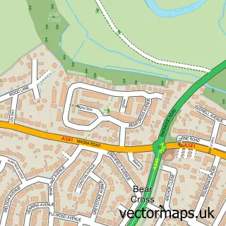
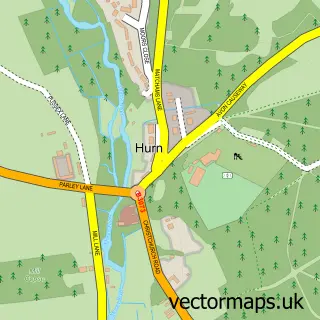
This Bournemouth street map is a detailed vector street map covering a 750m x 750m area. Select a larger area to create and download your own vector street map of Bournemouth.
The 750-metre map sample for Bournemouth covers 175 mapped buildings and approximately 21.4 km of road detail, of which 45 named roads are named. The immediate area includes 7 GP surgeries within 2 miles, 13 pubs and 24 MOT stations within 2 miles. The wider area around Bournemouth features 14 tourism points of interest, 75 food and drink venues and 58 hotels. To create a larger or custom map of Bournemouth, the map builder lets you define your own coverage area and download editable SVG, PDF and PNG files.
Create a larger editable map of Bournemouth
Choose any area you need and generate a high-quality vector map instantly. Perfect for print, planning, design, business and personal use.

This Bournemouth street map in Dorset is available as downloadable SVG, PDF and PNG map files, or as a printed map for planning, business, display, education, local information and design work. You can also create a larger custom map area using the map selector.
What this Bournemouth map sample shows
Bournemouth lies within Bournemouth, Christchurch And Poole parish, part of Bournemouth Central ward in the Bournemouth, Christchurch And Poole local authority area. The postcode geography for this area includes the BH postcode area, the BH1 postcode district and the BH1 1 postcode sector. Residents fall under the Nhs Dorset Integrated Care Board for NHS services.
Local features near Bournemouth
Within 2 milesAmenities and services in and around Bournemouth.
Administrative and postcode information for Bournemouth
Bournemouth lies within Bournemouth, Christchurch And Poole parish, part of Bournemouth Central ward in the Bournemouth, Christchurch And Poole local authority area. The postcode geography for this area includes the BH postcode area, the BH1 postcode district and the BH1 1 postcode sector. Residents fall under the Nhs Dorset Integrated Care Board for NHS services.
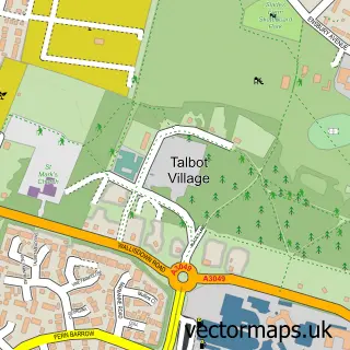
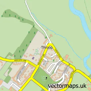
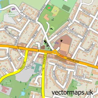
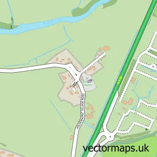
Nearby street map samples around Bournemouth

More street maps in Dorset
750 metre map area coverage
Boundary, postcode and point of interest information for the 750m x 750m rectangle centred on this sample map.
Boundaries containing map centre
Constituency: Bournemouth West Boro Const
District: Bournemouth, Christchurch and Poole
Icb: NHS Dorset ICB
Police Force: dorset
Postcode District: BH2
Postcode Sector: BH2 6
Ward: Bournemouth Central Ward
Nearby boundaries intersecting sample
Postcode District: BH1
Postcode Sector: BH1 1, BH1 2, BH2 5
Ward: Westbourne & West Cliff Ward
Postcode coverage
POI category counts
Hotel: 58
Clothing Store: 40
Professional Services: 30
Beauty Salon: 25
Cafe: 25
Employment Agencies: 22
Coffee Shop: 21
Bar: 20
Jewelry Store: 20
Advertising Agency: 17
Sample points of interest
- Martin, Steve
- Pebbles Students
- Richmond Gate
- St Peter's Hall Student Accommodation
- Bulpitt Crocker Taxation
- IWN Accountancy
- Intouch Accounting Ltd.
- Ollen Services Ltd
- Schofields
- Tallied Accountancy
- Functional Therapy
- Sup Dawg
Create a larger editable map of Bournemouth
This sample shows only a 750 metre area. To create a larger map of Bournemouth, use our map builder to choose your own coverage area, add titles and download editable SVG, PDF and PNG files.
Create a custom map of Bournemouth