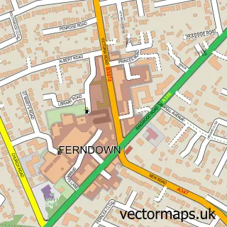
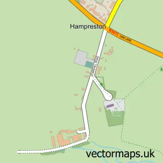
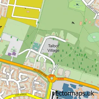
This Dudsbury street map is a detailed vector street map covering a 750m x 750m area. Select a larger area to create and download your own vector street map of Dudsbury.
The 750-metre map sample for Dudsbury covers 334 mapped buildings and approximately 9.4 km of road detail, of which 13 named roads are named. The immediate area includes 5 GP surgeries within 2 miles, 2 pubs and 11 MOT stations within 2 miles. The wider area around Dudsbury features 1 tourism point of interest, 2 food and drink venues and 1 hotel. To create a larger or custom map of Dudsbury, the map builder lets you define your own coverage area and download editable SVG, PDF and PNG files.
Create a larger editable map of Dudsbury
Choose any area you need and generate a high-quality vector map instantly. Perfect for print, planning, design, business and personal use.

This Dudsbury street map in Dorset is available as downloadable SVG, PDF and PNG map files, or as a printed map for planning, business, display, education, local information and design work. You can also create a larger custom map area using the map selector.
What this Dudsbury map sample shows
Dudsbury lies within West Parley Cp parish, part of West Parley ward in the Dorset local authority area. The postcode geography for this area includes the BH postcode area, the BH22 postcode district and the BH22 8 postcode sector. Residents fall under the Nhs Dorset Integrated Care Board for NHS services.
Local features near Dudsbury
Within 2 milesAmenities and services in and around Dudsbury.
Administrative and postcode information for Dudsbury
Dudsbury lies within West Parley Cp parish, part of West Parley ward in the Dorset local authority area. The postcode geography for this area includes the BH postcode area, the BH22 postcode district and the BH22 8 postcode sector. Residents fall under the Nhs Dorset Integrated Care Board for NHS services.
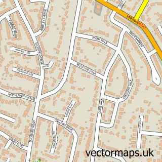
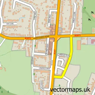
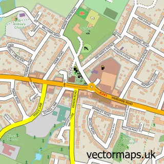
Nearby street map samples around Dudsbury

More street maps in Dorset
750 metre map area coverage
Boundary, postcode and point of interest information for the 750m x 750m rectangle centred on this sample map.
Boundaries containing map centre
Constituency: Christchurch Co Const
District: Dorset
Icb: NHS Dorset ICB
Parish: West Parley CP
Police Force: dorset
Postcode District: BH22
Postcode Sector: BH22 8
Ward: West Parley Ward
Nearby boundaries intersecting sample
Constituency: Bournemouth West Boro Const
District: Bournemouth, Christchurch and Poole
Parish: Ferndown Town CP
Postcode District: BH10
Postcode Sector: BH10 7
Ward: Ferndown South Ward, Kinson Ward
Postcode coverage
POI category counts
Financial Service: 3
Beer Bar: 2
Party Equipment Rental: 2
Pub: 2
Tree Services: 2
Business Consulting: 1
Cleaning Services: 1
Construction Services: 1
Contractor: 1
Handyman: 1
Sample points of interest
- The Horns Inn
- The Horns Inn
- Purbeck Consultancy
- Pool Part Mart
- Build Reliance
- Moordown Contractors
- Boyes Debbie J
- Debbie J Boyes Professional Mortgage Advisors
- Willowlace
- Garden & Home Solutions
- Muddy Munchkins Forest Nursery and Holiday Club
- Riverside Liveries
Create a larger editable map of Dudsbury
This sample shows only a 750 metre area. To create a larger map of Dudsbury, use our map builder to choose your own coverage area, add titles and download editable SVG, PDF and PNG files.
Create a custom map of Dudsbury