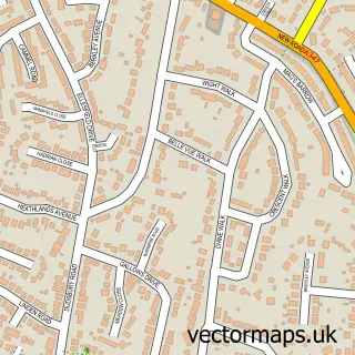
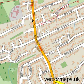
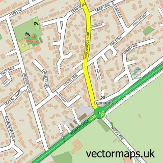
This Ferndown street map is a detailed vector street map covering a 750m x 750m area. Select a larger area to create and download your own vector street map of Ferndown.
The 750-metre map sample for Ferndown covers 489 mapped buildings and approximately 20.7 km of road detail, of which 27 named roads are named. The immediate area includes 2 GP surgeries, with 4 within 2 miles, 1 pub and 1 MOT station, with 11 within 2 miles. The wider area around Ferndown features 13 food and drink venues and 2 campsites within 2 miles. To create a larger or custom map of Ferndown, the map builder lets you define your own coverage area and download editable SVG, PDF and PNG files.
Create a larger editable map of Ferndown
Choose any area you need and generate a high-quality vector map instantly. Perfect for print, planning, design, business and personal use.

This Ferndown street map in Dorset is available as downloadable SVG, PDF and PNG map files, or as a printed map for planning, business, display, education, local information and design work. You can also create a larger custom map area using the map selector.
What this Ferndown map sample shows
Ferndown lies within Ferndown Town Cp parish, part of Ferndown South ward in the Dorset local authority area. The postcode geography for this area includes the BH postcode area, the BH22 postcode district and the BH22 8 postcode sector. Residents fall under the Nhs Dorset Integrated Care Board for NHS services.
Local features near Ferndown
Within 2 milesAmenities and services in and around Ferndown.
Administrative and postcode information for Ferndown
Ferndown lies within Ferndown Town Cp parish, part of Ferndown South ward in the Dorset local authority area. The postcode geography for this area includes the BH postcode area, the BH22 postcode district and the BH22 8 postcode sector. Residents fall under the Nhs Dorset Integrated Care Board for NHS services.
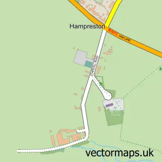
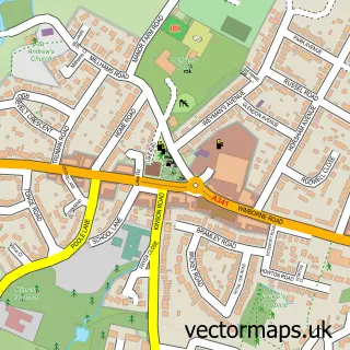
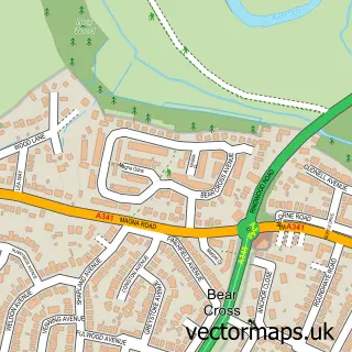
Nearby street map samples around Ferndown

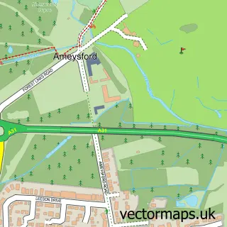
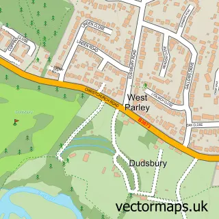
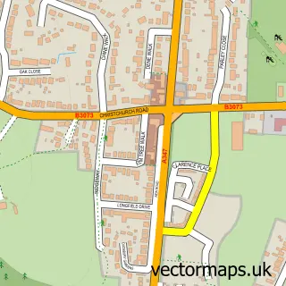
More street maps in Dorset
750 metre map area coverage
Boundary, postcode and point of interest information for the 750m x 750m rectangle centred on this sample map.
Boundaries containing map centre
Constituency: Christchurch Co Const
District: Dorset
Icb: NHS Dorset ICB
Parish: Ferndown Town CP
Police Force: dorset
Postcode District: BH22
Postcode Sector: BH22 9
Ward: Ferndown North Ward
Nearby boundaries intersecting sample
Postcode Sector: BH22 8
Ward: Ferndown South Ward
Postcode coverage
POI category counts
Real Estate Agent: 11
Building Supply Store: 7
Fast Food Restaurant: 7
Contractor: 6
Bank Credit Union: 5
Professional Services: 5
Retail: 5
Retirement Home: 5
Beauty Salon: 4
Cafe: 4
Sample points of interest
- B B S Accountants
- TaxSmart Accounting
- The Practice
- Brightbox Designs
- Page Copiers
- Emperor Chef
- St Mary's Church Ferndown
- Julias House
- Marie Cancer Charity Shop
- Holmans
- Iceland Supermarket Ferndown
- Paints & Pots
Create a larger editable map of Ferndown
This sample shows only a 750 metre area. To create a larger map of Ferndown, use our map builder to choose your own coverage area, add titles and download editable SVG, PDF and PNG files.
Create a custom map of Ferndown