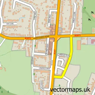
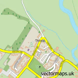
This Bear Cross street map is a detailed vector street map covering a 750m x 750m area. Select a larger area to create and download your own vector street map of Bear Cross.
The 750-metre map sample for Bear Cross covers 471 mapped buildings and approximately 18.8 km of road detail, of which 26 named roads are named. The immediate area includes 2 GP surgeries within 2 miles, 2 pubs and 1 MOT station, with 18 within 2 miles. The wider area around Bear Cross features 3 food and drink venues. To create a larger or custom map of Bear Cross, the map builder lets you define your own coverage area and download editable SVG, PDF and PNG files.
Create a larger editable map of Bear Cross
Choose any area you need and generate a high-quality vector map instantly. Perfect for print, planning, design, business and personal use.

This Bear Cross street map in Dorset is available as downloadable SVG, PDF and PNG map files, or as a printed map for planning, business, display, education, local information and design work. You can also create a larger custom map area using the map selector.
What this Bear Cross map sample shows
Bear Cross lies within Bournemouth, Christchurch And Poole parish, part of Bearwood & Merley ward in the Bournemouth, Christchurch And Poole local authority area. The postcode geography for this area includes the BH postcode area, the BH11 postcode district and the BH11 9 postcode sector. Residents fall under the Nhs Dorset Integrated Care Board for NHS services.
Local features near Bear Cross
Within 2 milesAmenities and services in and around Bear Cross.
Administrative and postcode information for Bear Cross
The local authority covering Bear Cross is Bournemouth, Christchurch And Poole, within the county of Dorset. The settlement lies within Bearwood & Merley ward and Bournemouth, Christchurch And Poole civil parish. The BH11 postcode district and BH11 9 postcode sector serve the immediate area. NHS provision in the area is delivered through University Hospitals Dorset Nhs Foundation Trust.
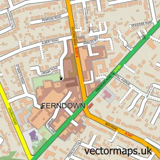
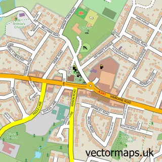
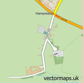
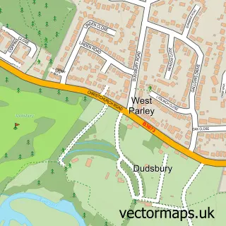
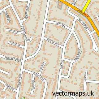
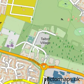
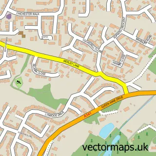
Nearby street map samples around Bear Cross

More street maps in Dorset
750 metre map area coverage
Boundary, postcode and point of interest information for the 750m x 750m rectangle centred on this sample map.
Boundaries containing map centre
Constituency: Mid Dorset and North Poole Co Const
District: Bournemouth, Christchurch and Poole
Icb: NHS Dorset ICB
Police Force: dorset
Postcode District: BH11
Postcode Sector: BH11 9
Ward: Bearwood & Merley Ward
Nearby boundaries intersecting sample
Constituency: Bournemouth West Boro Const, Christchurch Co Const
District: Dorset
Parish: Ferndown Town CP
Postcode District: BH21
Postcode Sector: BH21 3
Ward: Ferndown South Ward, Kinson Ward
Postcode coverage
POI category counts
Gas Station: 5
Post Office: 3
Carpet Cleaning: 2
Convenience Store: 2
Laundry Services: 2
Professional Services: 2
Pub: 2
Arts And Crafts: 1
Automotive Repair: 1
Barber: 1
Sample points of interest
- Lily's Home Made
- Dorset Tyres Services
- Blades
- S O S Barber Shop
- Your Choice Carpet Cleaners Ltd.
- Your Choice Cleaning With Care Ltd
- Gas Express
- Costa Express
- Londis
- Mace
- A1 Elite Courier Services
- Bear Cross Dental Practice
Create a larger editable map of Bear Cross
This sample shows only a 750 metre area. To create a larger map of Bear Cross, use our map builder to choose your own coverage area, add titles and download editable SVG, PDF and PNG files.
Create a custom map of Bear Cross