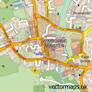
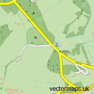
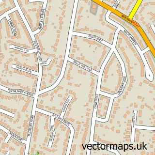
This Merley street map is a detailed vector street map covering a 750m x 750m area. Select a larger area to create and download your own vector street map of Merley.
The 750-metre map sample for Merley covers 443 mapped buildings and approximately 15.3 km of road detail, of which 14 named roads are named. The immediate area includes 4 GP surgeries within 2 miles and 7 MOT stations within 2 miles. The wider area around Merley features 1 campsite within 2 miles. To create a larger or custom map of Merley, the map builder lets you define your own coverage area and download editable SVG, PDF and PNG files.
Create a larger editable map of Merley
Choose any area you need and generate a high-quality vector map instantly. Perfect for print, planning, design, business and personal use.

This Merley street map in Dorset is available as downloadable SVG, PDF and PNG map files, or as a printed map for planning, business, display, education, local information and design work. You can also create a larger custom map area using the map selector.
What this Merley map sample shows
Merley lies within Bournemouth, Christchurch And Poole parish, part of Bearwood & Merley ward in the Bournemouth, Christchurch And Poole local authority area. The postcode geography for this area includes the BH postcode area, the BH21 postcode district and the BH21 3 postcode sector. Residents fall under the Nhs Dorset Integrated Care Board for NHS services.
Local features near Merley
Within 2 milesAmenities and services in and around Merley.
Administrative and postcode information for Merley
The local authority covering Merley is Bournemouth, Christchurch And Poole, within the county of Dorset. The settlement lies within Bearwood & Merley ward and Bournemouth, Christchurch And Poole civil parish. The BH21 postcode district and BH21 3 postcode sector serve the immediate area. NHS provision in the area is delivered through University Hospitals Dorset Nhs Foundation Trust.
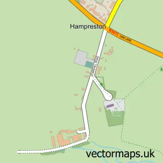
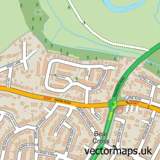
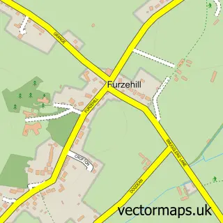
Nearby street map samples around Merley

More street maps in Dorset
750 metre map area coverage
Boundary, postcode and point of interest information for the 750m x 750m rectangle centred on this sample map.
Boundaries containing map centre
Constituency: Mid Dorset and North Poole Co Const
District: Bournemouth, Christchurch and Poole
Icb: NHS Dorset ICB
Police Force: dorset
Postcode District: BH21
Postcode Sector: BH21 3
Ward: Bearwood & Merley Ward
Nearby boundaries intersecting sample
Postcode Sector: BH21 1
Postcode coverage
POI category counts
Building Supply Store: 5
Doctor: 2
Package Locker: 2
Playground: 2
Professional Services: 2
Architectural Designer: 1
Assisted Living Facility: 1
Atms: 1
Barber: 1
Beauty And Spa: 1
Sample points of interest
- Bristow + Associates
- Selkirk Close Sheltered Housing
- ATM (Post Office)
- Regal barbers lounge
- Elegantly Smart
- Beauty By Gem
- Ashington Garden Machinery
- Elite Spas Dorset
- Nick DeCianti - Tiling
- Oakwood Gardens
- Opus Plumbing
- Oakley Village Butchers
Create a larger editable map of Merley
This sample shows only a 750 metre area. To create a larger map of Merley, use our map builder to choose your own coverage area, add titles and download editable SVG, PDF and PNG files.
Create a custom map of Merley