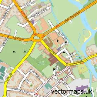
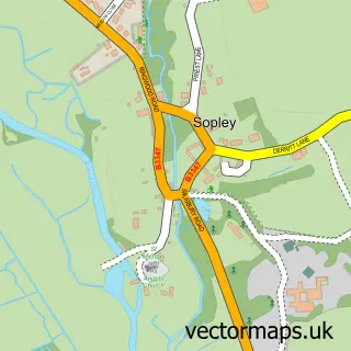
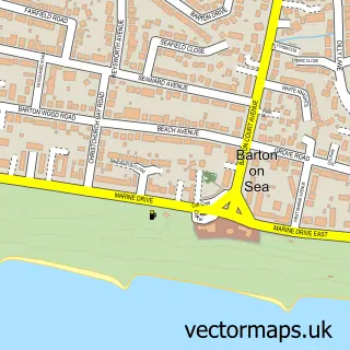
This Wick street map is a detailed vector street map covering a 750m x 750m area. Select a larger area to create and download your own vector street map of Wick.
The 750-metre map sample for Wick covers 317 mapped buildings and approximately 8.4 km of road detail, of which 18 named roads are named. The immediate area includes 1 school, 7 GP surgeries within 2 miles and 22 MOT stations within 2 miles. The wider area around Wick features 2 tourism points of interest, 1 hotel and 1 campsite within 2 miles. To create a larger or custom map of Wick, the map builder lets you define your own coverage area and download editable SVG, PDF and PNG files.
Create a larger editable map of Wick
Choose any area you need and generate a high-quality vector map instantly. Perfect for print, planning, design, business and personal use.

This Wick street map in Dorset is available as downloadable SVG, PDF and PNG map files, or as a printed map for planning, business, display, education, local information and design work. You can also create a larger custom map area using the map selector.
What this Wick map sample shows
Wick lies within Bournemouth, Christchurch And Poole parish, part of East Southbourne & Tuckton ward in the Bournemouth, Christchurch And Poole local authority area. The postcode geography for this area includes the BH postcode area, the BH6 postcode district and the BH6 4 postcode sector. Residents fall under the Nhs Dorset Integrated Care Board for NHS services.
Local features near Wick
Within 2 milesAmenities and services in and around Wick.
Administrative and postcode information for Wick
The local authority covering Wick is Bournemouth, Christchurch And Poole, within the county of Dorset. The settlement lies within East Southbourne & Tuckton ward and Bournemouth, Christchurch And Poole civil parish. The BH6 postcode district and BH6 4 postcode sector serve the immediate area. NHS provision in the area is delivered through University Hospitals Dorset Nhs Foundation Trust.
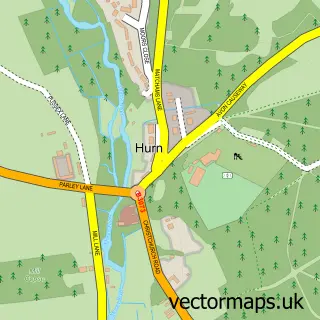
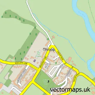
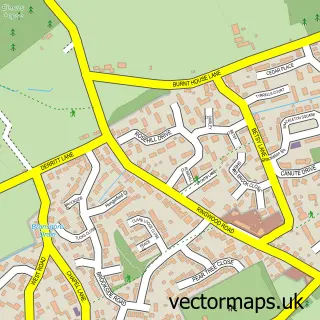
Nearby street map samples around Wick

More street maps in Dorset
750 metre map area coverage
Boundary, postcode and point of interest information for the 750m x 750m rectangle centred on this sample map.
Boundaries containing map centre
Constituency: Bournemouth East Boro Const
District: Bournemouth, Christchurch and Poole
Icb: NHS Dorset ICB
Police Force: dorset
Postcode District: BH6
Postcode Sector: BH6 4
Ward: East Southbourne & Tuckton Ward
Nearby boundaries intersecting sample
Constituency: Christchurch Co Const
Parish: Christchurch CP
Postcode District: BH23
Postcode Sector: BH23 1
Ward: Christchurch Town Ward
Postcode coverage
POI category counts
Building Supply Store: 2
Active Life: 1
Assisted Living Facility: 1
Automotive Parts And Accessories: 1
Automotive Services And Repair: 1
Computer Store: 1
Ferry Boat Company: 1
Flooring Contractors: 1
Holiday Rental Home: 1
Home Developer: 1
Sample points of interest
- My Pro Coach
- Cherry Tree Lodge
- BikeVis
- Newsawchains
- A Line Roofing Repairs
- Electra Tec
- Really Small Computers
- Wick Ferry
- Woodland Flooring
- Hengistbury Reach Holiday Let
- Caleb Development
- Captain's Club Hotel and Spa
Create a larger editable map of Wick
This sample shows only a 750 metre area. To create a larger map of Wick, use our map builder to choose your own coverage area, add titles and download editable SVG, PDF and PNG files.
Create a custom map of Wick