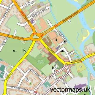
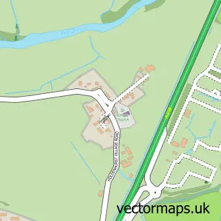
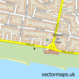
This Burton street map is a detailed vector street map covering a 750m x 750m area. Select a larger area to create and download your own vector street map of Burton.
The 750-metre map sample for Burton covers 499 mapped buildings and approximately 15.4 km of road detail, of which 31 named roads are named. The immediate area includes 4 GP surgeries within 2 miles, 2 pubs and 21 MOT stations within 2 miles. The wider area around Burton features 2 tourism points of interest, 2 food and drink venues and 1 campsite within 2 miles. To create a larger or custom map of Burton, the map builder lets you define your own coverage area and download editable SVG, PDF and PNG files.
Create a larger editable map of Burton
Choose any area you need and generate a high-quality vector map instantly. Perfect for print, planning, design, business and personal use.

This Burton street map in Dorset is available as downloadable SVG, PDF and PNG map files, or as a printed map for planning, business, display, education, local information and design work. You can also create a larger custom map area using the map selector.
What this Burton map sample shows
Burton lies within Burton And Winkton Cp parish, part of Burton & Grange ward in the Bournemouth, Christchurch And Poole local authority area. The postcode geography for this area includes the BH postcode area, the BH23 postcode district and the BH23 7 postcode sector. Residents fall under the Nhs Dorset Integrated Care Board for NHS services.
Local features near Burton
Within 2 milesAmenities and services in and around Burton.
Administrative and postcode information for Burton
Burton lies within Burton And Winkton Cp parish, part of Burton & Grange ward in the Bournemouth, Christchurch And Poole local authority area. The postcode geography for this area includes the BH postcode area, the BH23 postcode district and the BH23 7 postcode sector. Residents fall under the Nhs Dorset Integrated Care Board for NHS services.
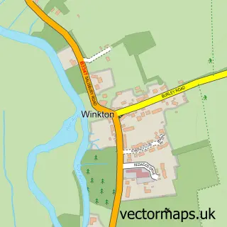
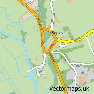
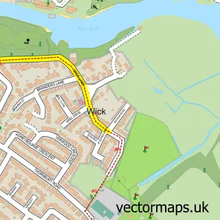
Nearby street map samples around Burton

More street maps in Dorset
750 metre map area coverage
Boundary, postcode and point of interest information for the 750m x 750m rectangle centred on this sample map.
Boundaries containing map centre
Constituency: Christchurch Co Const
District: Bournemouth, Christchurch and Poole
Icb: NHS Dorset ICB
Parish: Burton and Winkton CP
Police Force: dorset
Postcode District: BH23
Postcode Sector: BH23 7
Ward: Burton & Grange Ward
Nearby boundaries intersecting sample
No additional intersecting boundaries found.
Postcode coverage
POI category counts
Convenience Store: 6
Bicycle Shop: 2
Church Cathedral: 2
Driving School: 2
Professional Services: 2
Pub: 2
Shipping Center: 2
Advertising Agency: 1
Airport Shuttles: 1
Anglican Church: 1
Sample points of interest
- HWB Design
- James The Chauffeur
- St Luke's Church
- NatWest
- Bikevis
- Soccer Tackle
- Steve Merrell Kitchens & Bathrooms
- Wessex Warranty
- Top Class Carpentry
- Holmwood & Co
- Burton Green URC Church
- Burton Green United Reformed Church
Create a larger editable map of Burton
This sample shows only a 750 metre area. To create a larger map of Burton, use our map builder to choose your own coverage area, add titles and download editable SVG, PDF and PNG files.
Create a custom map of Burton