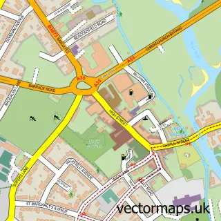
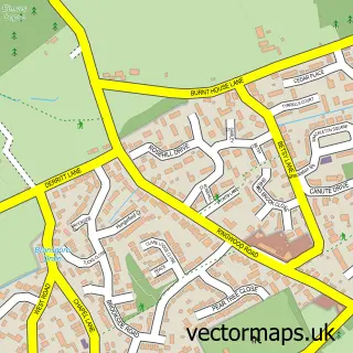
This Sopley street map is a detailed vector street map covering a 750m x 750m area. Select a larger area to create and download your own vector street map of Sopley.
The 750-metre map sample for Sopley covers 96 mapped buildings and approximately 6.3 km of road detail, of which 5 named roads are named. The immediate area includes 2 GP surgeries within 2 miles, 1 pub and 3 MOT stations within 2 miles. The wider area around Sopley features 1 food and drink venue and 1 campsite within 2 miles. To create a larger or custom map of Sopley, the map builder lets you define your own coverage area and download editable SVG, PDF and PNG files.
Create a larger editable map of Sopley
Choose any area you need and generate a high-quality vector map instantly. Perfect for print, planning, design, business and personal use.

This Sopley street map in Hampshire is available as downloadable SVG, PDF and PNG map files, or as a printed map for planning, business, display, education, local information and design work. You can also create a larger custom map area using the map selector.
What this Sopley map sample shows
Sopley lies within Sopley Cp parish, part of Ringwood East And Sopley ward in the New Forest District local authority area. The postcode geography for this area includes the BH postcode area, the BH23 postcode district and the BH23 7 postcode sector. Residents fall under the Nhs Hampshire And Isle Of Wight Integrated Care Board for NHS services.
Local features near Sopley
Within 2 milesAmenities and services in and around Sopley.
Administrative and postcode information for Sopley
The local authority covering Sopley is New Forest District, within the county of Hampshire. The settlement lies within Ringwood East And Sopley ward and Sopley Cp civil parish. The BH23 postcode district and BH23 7 postcode sector serve the immediate area. NHS provision in the area is delivered through University Hospitals Dorset Nhs Foundation Trust.
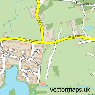
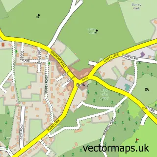
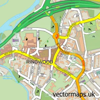
Nearby street map samples around Sopley

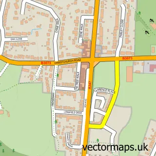
More street maps in Hampshire
750 metre map area coverage
Boundary, postcode and point of interest information for the 750m x 750m rectangle centred on this sample map.
Boundaries containing map centre
Constituency: New Forest West Co Const
County: Hampshire County
District: New Forest District
Icb: NHS Hampshire and Isle of Wight ICB
Parish: Sopley CP
Police Force: hampshire
Postcode District: BH23
Postcode Sector: BH23 7
Ward: Bransgore, Burley, Sopley & Ringwood East Ward
Nearby boundaries intersecting sample
No additional intersecting boundaries found.
Postcode coverage
POI category counts
Holiday Rental Home: 2
Anglican Church: 1
Automotive Repair: 1
Business: 1
Carpenter: 1
Church Cathedral: 1
College University: 1
Community Center: 1
Corporate Entertainment Services: 1
Event Planning: 1
Sample points of interest
- St Michael & All Angels Sopley
- Sopley Garage
- Iron Mountain
- Forest Timber Frames
- Sopley Church
- Moorlands College
- Sopley Parish Hall
- Talent Got
- Sopley Mill
- Dan Tanners
- Sopley Park Holiday Homes
- The Potting Shed, Sopley
Create a larger editable map of Sopley
This sample shows only a 750 metre area. To create a larger map of Sopley, use our map builder to choose your own coverage area, add titles and download editable SVG, PDF and PNG files.
Create a custom map of Sopley