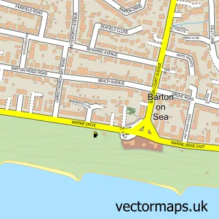
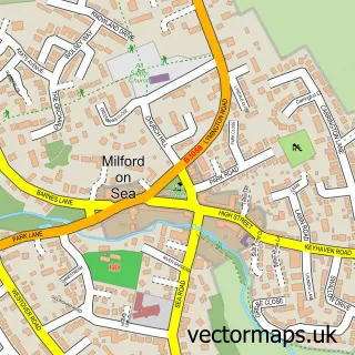
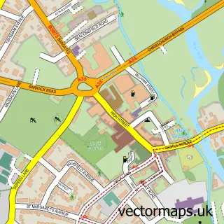
This Highcliffe-on-Sea street map is a detailed vector street map covering a 750m x 750m area. Select a larger area to create and download your own vector street map of Highcliffe-on-Sea.
The 750-metre map sample for Highcliffe-on-Sea covers 491 mapped buildings and approximately 15.6 km of road detail, of which 30 named roads are named. The immediate area includes 1 GP surgery, with 2 within 2 miles and 8 MOT stations within 2 miles. The wider area around Highcliffe-on-Sea features 1 tourism point of interest, 5 food and drink venues and 4 hotels. To create a larger or custom map of Highcliffe-on-Sea, the map builder lets you define your own coverage area and download editable SVG, PDF and PNG files.
Create a larger editable map of Highcliffe-on-Sea
Choose any area you need and generate a high-quality vector map instantly. Perfect for print, planning, design, business and personal use.

This Highcliffe-on-Sea street map in Dorset is available as downloadable SVG, PDF and PNG map files, or as a printed map for planning, business, display, education, local information and design work. You can also create a larger custom map area using the map selector.
What this Highcliffe-on-Sea map sample shows
Highcliffe-on-Sea lies within Highcliffe And Walkford Cp parish, part of Highcliffe & Walkford ward in the Bournemouth, Christchurch And Poole local authority area. The postcode geography for this area includes the BH postcode area, the BH23 postcode district and the BH23 5 postcode sector. Residents fall under the Nhs Dorset Integrated Care Board for NHS services.
Local features near Highcliffe-on-Sea
Within 2 milesAmenities and services in and around Highcliffe-on-Sea.
Administrative and postcode information for Highcliffe-on-Sea
The local authority covering Highcliffe-on-Sea is Bournemouth, Christchurch And Poole, within the county of Dorset. The settlement lies within Highcliffe & Walkford ward and Highcliffe And Walkford Cp civil parish. The BH23 postcode district and BH23 5 postcode sector serve the immediate area. NHS provision in the area is delivered through University Hospitals Dorset Nhs Foundation Trust.
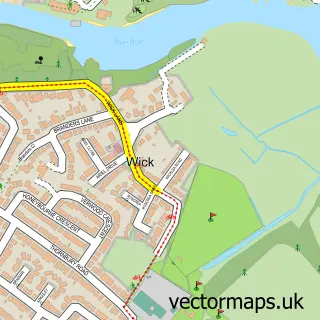
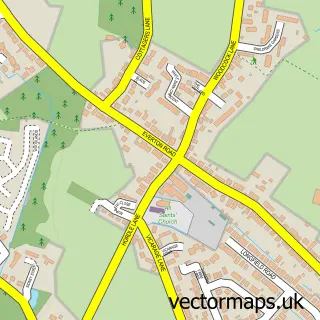
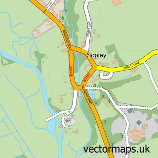
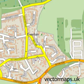
Nearby street map samples around Highcliffe-on-Sea

More street maps in Dorset
750 metre map area coverage
Boundary, postcode and point of interest information for the 750m x 750m rectangle centred on this sample map.
Boundaries containing map centre
Constituency: Christchurch Co Const
District: Bournemouth, Christchurch and Poole
Icb: NHS Dorset ICB
Parish: Highcliffe and Walkford CP
Police Force: dorset
Postcode District: BH23
Postcode Sector: BH23 5
Ward: Highcliffe & Walkford Ward
Nearby boundaries intersecting sample
Parish: New Milton CP
Police Force: hampshire
Postcode District: BH25
Postcode Sector: BH25 7
Ward: Barton & Becton Ward
Postcode coverage
POI category counts
Real Estate Agent: 7
Beauty Salon: 6
Hair Salon: 6
Business Management Services: 4
Chiropractor: 4
Travel Services: 4
Banks: 3
Beauty And Spa: 3
Contractor: 3
Convenience Store: 3
Sample points of interest
- J G M Design
- JGM Design
- Sue Ryder
- Twenty Residential Design
- Lafitte Galleries
- NatWest
- Highcliffe Software Services
- Honey Cake Patisserie
- Shelleys Bakery
- Barclays
- HSBC Bank
- Nationwide Building Society
Create a larger editable map of Highcliffe-on-Sea
This sample shows only a 750 metre area. To create a larger map of Highcliffe-on-Sea, use our map builder to choose your own coverage area, add titles and download editable SVG, PDF and PNG files.
Create a custom map of Highcliffe-on-Sea