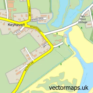
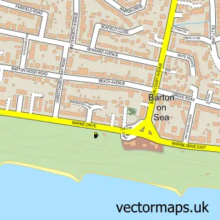
This Everton street map is a detailed vector street map covering a 750m x 750m area. Select a larger area to create and download your own vector street map of Everton.
The 750-metre map sample for Everton covers 416 mapped buildings and approximately 18.4 km of road detail, of which 33 named roads are named. The immediate area includes 1 GP surgery within 2 miles, 1 pub and 1 MOT station, with 6 within 2 miles. The wider area around Everton features 1 food and drink venue and 3 campsites within 2 miles. To create a larger or custom map of Everton, the map builder lets you define your own coverage area and download editable SVG, PDF and PNG files.
Create a larger editable map of Everton
Choose any area you need and generate a high-quality vector map instantly. Perfect for print, planning, design, business and personal use.

This Everton street map in Hampshire is available as downloadable SVG, PDF and PNG map files, or as a printed map for planning, business, display, education, local information and design work. You can also create a larger custom map area using the map selector.
What this Everton map sample shows
Everton lies within Hordle Cp parish, part of Milford ward in the New Forest District local authority area. The postcode geography for this area includes the SO postcode area, the SO41 postcode district and the SO41 0 postcode sector. Residents fall under the Nhs Hampshire And Isle Of Wight Integrated Care Board for NHS services.
Local features near Everton
Within 2 milesAmenities and services in and around Everton.
Administrative and postcode information for Everton
The local authority covering Everton is New Forest District, within the county of Hampshire. The settlement lies within Milford ward and Hordle Cp civil parish. The SO41 postcode district and SO41 0 postcode sector serve the immediate area. NHS provision in the area is delivered through University Hospital Southampton Nhs Foundation Trust.
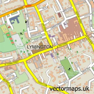
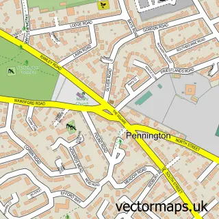
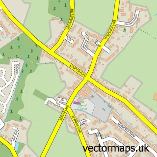
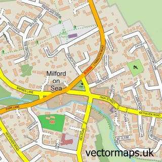
Nearby street map samples around Everton

More street maps in Hampshire
750 metre map area coverage
Boundary, postcode and point of interest information for the 750m x 750m rectangle centred on this sample map.
Boundaries containing map centre
Constituency: New Forest West Co Const
County: Hampshire County
District: New Forest District
Icb: NHS Hampshire and Isle of Wight ICB
Parish: Hordle CP
Police Force: hampshire
Postcode District: SO41
Postcode Sector: SO41 0
Ward: Milford & Hordle Ward
Nearby boundaries intersecting sample
Parish: Milford-on-Sea CP
Postcode Sector: SO41 8
Postcode coverage
POI category counts
Automotive Repair: 2
Beauty Salon: 2
Car Dealer: 2
Cleaning Services: 2
Anglican Church: 1
Automotive: 1
Convenience Store: 1
Corporate Entertainment Services: 1
Dance School: 1
Electrician: 1
Sample points of interest
- St Mary's, Everton
- Everton Garage
- Border Automotive Engineering
- Everton Garage Limited
- Beautiful You New Forest
- Glamour White
- Hyundai
- Richmond Hyundai - Lymington
- Oven Glow - Your Local New Forest Oven Cleaners
- Oven Glow New Forest
- Londis EVERTON STORES AND POST OFFICE
- Solent Events
Create a larger editable map of Everton
This sample shows only a 750 metre area. To create a larger map of Everton, use our map builder to choose your own coverage area, add titles and download editable SVG, PDF and PNG files.
Create a custom map of Everton