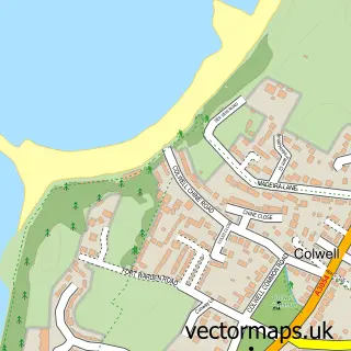
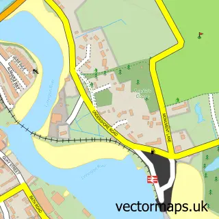
This Keyhaven street map is a detailed vector street map covering a 750m x 750m area. Select a larger area to create and download your own vector street map of Keyhaven.
The 750-metre map sample for Keyhaven covers 97 mapped buildings and approximately 7.3 km of road detail, of which 6 named roads are named. The immediate area includes 1 pub and 4 MOT stations within 2 miles. The wider area around Keyhaven features 1 tourism point of interest, 1 food and drink venue and 2 campsites within 2 miles. To create a larger or custom map of Keyhaven, the map builder lets you define your own coverage area and download editable SVG, PDF and PNG files.
Create a larger editable map of Keyhaven
Choose any area you need and generate a high-quality vector map instantly. Perfect for print, planning, design, business and personal use.

This Keyhaven street map in Hampshire is available as downloadable SVG, PDF and PNG map files, or as a printed map for planning, business, display, education, local information and design work. You can also create a larger custom map area using the map selector.
What this Keyhaven map sample shows
Keyhaven lies within Milford-On-Sea Cp parish, part of Milford ward in the New Forest District local authority area. The postcode geography for this area includes the SO postcode area, the SO41 postcode district and the SO41 0 postcode sector. Residents fall under the Nhs Hampshire And Isle Of Wight Integrated Care Board for NHS services.
Local features near Keyhaven
Within 2 milesAmenities and services in and around Keyhaven.
Administrative and postcode information for Keyhaven
The local authority covering Keyhaven is New Forest District, within the county of Hampshire. The settlement lies within Milford ward and Milford-On-Sea Cp civil parish. The SO41 postcode district and SO41 0 postcode sector serve the immediate area. NHS provision in the area is delivered through University Hospital Southampton Nhs Foundation Trust.
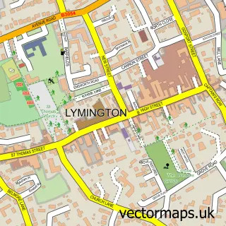
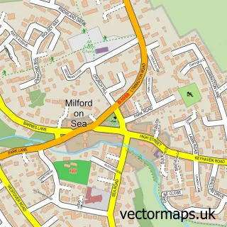
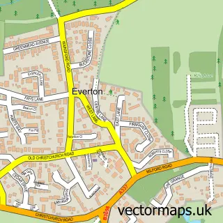
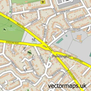
Nearby street map samples around Keyhaven

More street maps in Hampshire
750 metre map area coverage
Boundary, postcode and point of interest information for the 750m x 750m rectangle centred on this sample map.
Boundaries containing map centre
Constituency: New Forest West Co Const
County: Hampshire County
District: New Forest District
Icb: NHS Hampshire and Isle of Wight ICB
Parish: Milford-on-Sea CP
Police Force: hampshire
Postcode District: SO41
Postcode Sector: SO41 0
Ward: Milford & Hordle Ward
Nearby boundaries intersecting sample
No additional intersecting boundaries found.
Postcode coverage
POI category counts
Automotive: 2
Sports Club And League: 2
Animal Shelter: 1
Automotive Services And Repair: 1
Beach: 1
Bike Rentals: 1
Boat Rental And Training: 1
Business: 1
Ferry Boat Company: 1
Landmark And Historical Building: 1
Sample points of interest
- Hampshire Hounds Dog Rescue
- Quayside Marine Ltd
- West Solent Boat Builders
- West Solent Boat Builder
- Keyhaven Beach
- Jaunt E-Bikes
- Greg Pitt Sea Fishing
- Teamworking International
- Hurst Castle Ferry
- Hurst Castle
- Carousel Day Nursery
- New Forest District Council
Create a larger editable map of Keyhaven
This sample shows only a 750 metre area. To create a larger map of Keyhaven, use our map builder to choose your own coverage area, add titles and download editable SVG, PDF and PNG files.
Create a custom map of Keyhaven