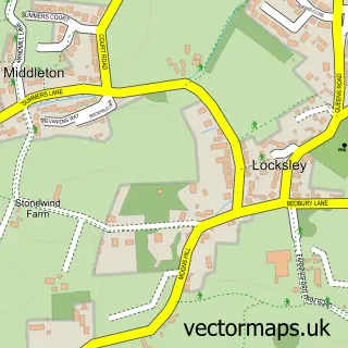
This Norton street map is a detailed vector street map covering a 750m x 750m area. Select a larger area to create and download your own vector street map of Norton.
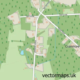
The 750-metre map sample for Norton covers 198 mapped buildings and approximately 8.1 km of road detail, of which 10 named roads are named. The immediate area includes 1 GP surgery within 2 miles and 3 MOT stations within 2 miles. The wider area around Norton features 1 tourism point of interest, 2 food and drink venues and 1 hotel. To create a larger or custom map of Norton, the map builder lets you define your own coverage area and download editable SVG, PDF and PNG files.
Create a larger editable map of Norton
Choose any area you need and generate a high-quality vector map instantly. Perfect for print, planning, design, business and personal use.

This Norton street map in Isle of Wight is available as downloadable SVG, PDF and PNG map files, or as a printed map for planning, business, display, education, local information and design work. You can also create a larger custom map area using the map selector.
What this Norton map sample shows
Norton lies within Freshwater Cp parish, part of Freshwater North ward in the Isle Of Wight local authority area. The postcode geography for this area includes the PO postcode area, the PO41 postcode district and the PO41 0 postcode sector. Residents fall under the Nhs Hampshire And Isle Of Wight Integrated Care Board for NHS services.
Local features near Norton
Within 2 milesAmenities and services in and around Norton.
Administrative and postcode information for Norton
Norton lies within Freshwater Cp parish, part of Freshwater North ward in the Isle Of Wight local authority area. The postcode geography for this area includes the PO postcode area, the PO41 postcode district and the PO41 0 postcode sector. Residents fall under the Nhs Hampshire And Isle Of Wight Integrated Care Board for NHS services.
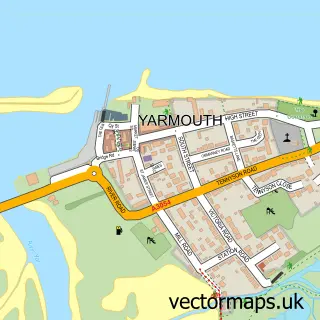
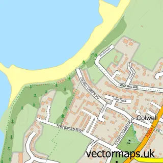
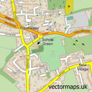
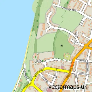
Nearby street map samples around Norton

More street maps in Isle of Wight
750 metre map area coverage
Boundary, postcode and point of interest information for the 750m x 750m rectangle centred on this sample map.
Boundaries containing map centre
Constituency: Isle of Wight West Co Const
District: Isle of Wight
Icb: NHS Hampshire and Isle of Wight ICB
Parish: Freshwater CP
Police Force: hampshire
Postcode District: PO41
Postcode Sector: PO41 0
Nearby boundaries intersecting sample
No additional intersecting boundaries found.
Postcode coverage
POI category counts
Resort: 2
Active Life: 1
Advertising Agency: 1
Aquarium: 1
Art Museum: 1
Beach: 1
Cabin: 1
Cafe: 1
Cooking School: 1
Holiday Rental Home: 1
Sample points of interest
- West Bay Club, Isle Of Wight
- Instafollowers
- Fort Victoria Marine Aquarium
- The Island Planetarium
- Norton Beach
- Isle of Wight Cottages
- Boat House
- The Isle of Wight Cookery School
- Norton Brook Holiday Cottage
- Norton Grange Coastal Resort
- Fort Victoria Pier
- The West Bay Club
Create a larger editable map of Norton
This sample shows only a 750 metre area. To create a larger map of Norton, use our map builder to choose your own coverage area, add titles and download editable SVG, PDF and PNG files.
Create a custom map of Norton