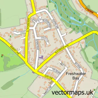
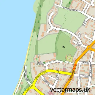
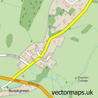
This Freshwater street map is a detailed vector street map covering a 750m x 750m area. Select a larger area to create and download your own vector street map of Freshwater.
The 750-metre map sample for Freshwater covers 430 mapped buildings and approximately 13.7 km of road detail, of which 27 named roads are named. The immediate area includes 1 GP surgery, 1 pub and 4 MOT stations within 2 miles. The wider area around Freshwater features 3 food and drink venues, 1 hotel and 1 campsite within 2 miles. To create a larger or custom map of Freshwater, the map builder lets you define your own coverage area and download editable SVG, PDF and PNG files.
Create a larger editable map of Freshwater
Choose any area you need and generate a high-quality vector map instantly. Perfect for print, planning, design, business and personal use.

This Freshwater street map in Isle of Wight is available as downloadable SVG, PDF and PNG map files, or as a printed map for planning, business, display, education, local information and design work. You can also create a larger custom map area using the map selector.
What this Freshwater map sample shows
Freshwater lies within Totland Cp parish, part of Totland ward in the Isle Of Wight local authority area. The postcode geography for this area includes the PO postcode area, the PO39 postcode district and the PO39 0 postcode sector. Residents fall under the Nhs Hampshire And Isle Of Wight Integrated Care Board for NHS services.
Local features near Freshwater
Within 2 milesAmenities and services in and around Freshwater.
Administrative and postcode information for Freshwater
The local authority covering Freshwater is Isle Of Wight, within the county of Isle Of Wight. The settlement lies within Totland ward and Totland Cp civil parish. The PO39 postcode district and PO39 0 postcode sector serve the immediate area. NHS provision in the area is delivered through Isle Of Wight Nhs Trust.
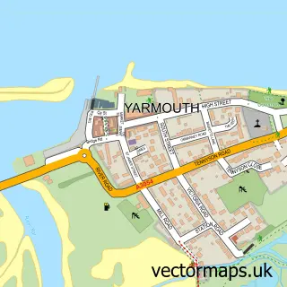
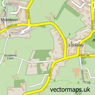
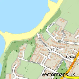
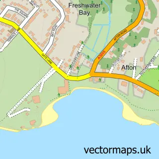
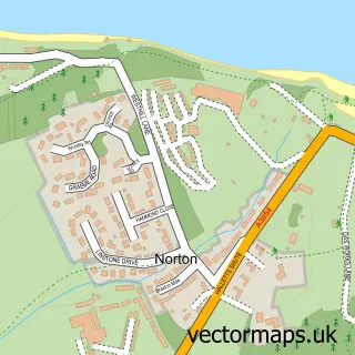
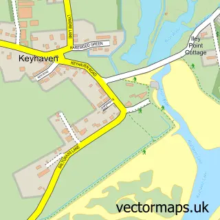
Nearby street map samples around Freshwater

More street maps in Isle of Wight
750 metre map area coverage
Boundary, postcode and point of interest information for the 750m x 750m rectangle centred on this sample map.
Boundaries containing map centre
Constituency: Isle of Wight West Co Const
District: Isle of Wight
Icb: NHS Hampshire and Isle of Wight ICB
Parish: Freshwater CP
Police Force: hampshire
Postcode District: PO40
Postcode Sector: PO40 9
Nearby boundaries intersecting sample
No additional intersecting boundaries found.
Postcode coverage
POI category counts
Real Estate Agent: 7
Hair Salon: 4
Jewelry Store: 4
Dentist: 3
Doctor: 3
Bank Credit Union: 2
Banks: 2
Bookstore: 2
Building Supply Store: 2
Chinese Restaurant: 2
Sample points of interest
- Chilly Hilly
- Val's Collectables
- WhyteConsult Architecture
- Plumbleys D I Y
- The Village Bakery
- Lloyds Bank
- NatWest
- HSBC Bank
- NatWest
- Barber Shop
- The Luxe Clinic
- BeautyAvenue x
Create a larger editable map of Freshwater
This sample shows only a 750 metre area. To create a larger map of Freshwater, use our map builder to choose your own coverage area, add titles and download editable SVG, PDF and PNG files.
Create a custom map of Freshwater