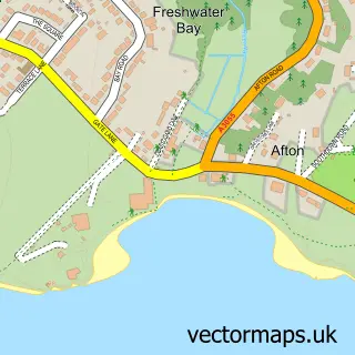
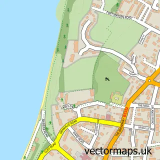
This Easton street map is a detailed vector street map covering a 750m x 750m area. Select a larger area to create and download your own vector street map of Easton.
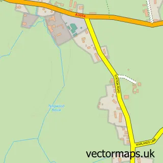
The 750-metre map sample for Easton covers 343 mapped buildings and approximately 10.6 km of road detail, of which 18 named roads are named. The immediate area includes 1 GP surgery within 2 miles and 4 MOT stations within 2 miles. The wider area around Easton features 2 tourism points of interest, 1 food and drink venue and 2 hotels. To create a larger or custom map of Easton, the map builder lets you define your own coverage area and download editable SVG, PDF and PNG files.
Create a larger editable map of Easton
Choose any area you need and generate a high-quality vector map instantly. Perfect for print, planning, design, business and personal use.

This Easton street map in Isle of Wight is available as downloadable SVG, PDF and PNG map files, or as a printed map for planning, business, display, education, local information and design work. You can also create a larger custom map area using the map selector.
What this Easton map sample shows
Easton lies within Freshwater Cp parish, part of Freshwater North ward in the Isle Of Wight local authority area. The postcode geography for this area includes the PO postcode area, the PO40 postcode district and the PO40 9 postcode sector. Residents fall under the Nhs Hampshire And Isle Of Wight Integrated Care Board for NHS services.
Local features near Easton
Within 2 milesAmenities and services in and around Easton.
Administrative and postcode information for Easton
Easton lies within Freshwater Cp parish, part of Freshwater North ward in the Isle Of Wight local authority area. The postcode geography for this area includes the PO postcode area, the PO40 postcode district and the PO40 9 postcode sector. Residents fall under the Nhs Hampshire And Isle Of Wight Integrated Care Board for NHS services.
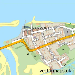
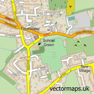
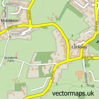
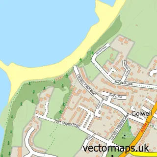
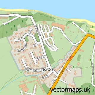
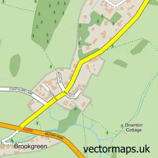
Nearby street map samples around Easton

More street maps in Isle of Wight
750 metre map area coverage
Boundary, postcode and point of interest information for the 750m x 750m rectangle centred on this sample map.
Boundaries containing map centre
Constituency: Isle of Wight West Co Const
District: Isle of Wight
Icb: NHS Hampshire and Isle of Wight ICB
Parish: Freshwater CP
Police Force: hampshire
Postcode District: PO40
Postcode Sector: PO40 9
Nearby boundaries intersecting sample
No additional intersecting boundaries found.
Postcode coverage
POI category counts
Bed And Breakfast: 3
Convenience Store: 2
Hotel: 2
Monument: 2
Museum: 2
Parking: 2
Anglican Church: 1
Art Gallery: 1
Automotive Repair: 1
Beach: 1
Sample points of interest
- Freshwater Bay - St Agnes
- Dimbola Lodge
- Austin Morris Services
- Brooke Beach
- Ruskin Lodge Guest House
- The Bay
- The Bay Bed & Breakfast
- Cameron House Books
- The Piano Cafe
- St Agnes Church
- Londis Orchard Brothers
- Orchard Bros
Create a larger editable map of Easton
This sample shows only a 750 metre area. To create a larger map of Easton, use our map builder to choose your own coverage area, add titles and download editable SVG, PDF and PNG files.
Create a custom map of Easton