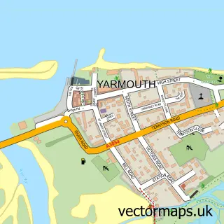
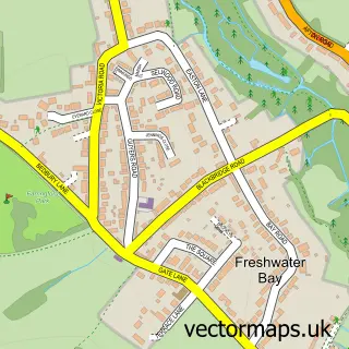
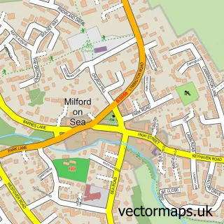
This Totland street map is a detailed vector street map covering a 750m x 750m area. Select a larger area to create and download your own vector street map of Totland.
The 750-metre map sample for Totland covers 283 mapped buildings and approximately 11.0 km of road detail, of which 21 named roads are named. The immediate area includes 1 GP surgery within 2 miles and 4 MOT stations within 2 miles. The wider area around Totland features 3 tourism points of interest, 1 food and drink venue and 4 hotels. To create a larger or custom map of Totland, the map builder lets you define your own coverage area and download editable SVG, PDF and PNG files.
Create a larger editable map of Totland
Choose any area you need and generate a high-quality vector map instantly. Perfect for print, planning, design, business and personal use.

This Totland street map in Isle of Wight is available as downloadable SVG, PDF and PNG map files, or as a printed map for planning, business, display, education, local information and design work. You can also create a larger custom map area using the map selector.
What this Totland map sample shows
Totland lies within Totland Cp parish, part of Totland ward in the Isle Of Wight local authority area. The postcode geography for this area includes the PO postcode area, the PO39 postcode district and the PO39 0 postcode sector. Residents fall under the Nhs Hampshire And Isle Of Wight Integrated Care Board for NHS services.
Local features near Totland
Within 2 milesAmenities and services in and around Totland.
Administrative and postcode information for Totland
Totland lies within Totland Cp parish, part of Totland ward in the Isle Of Wight local authority area. The postcode geography for this area includes the PO postcode area, the PO39 postcode district and the PO39 0 postcode sector. Residents fall under the Nhs Hampshire And Isle Of Wight Integrated Care Board for NHS services.
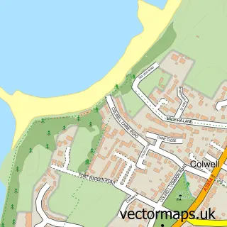
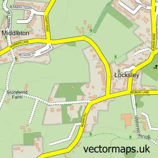
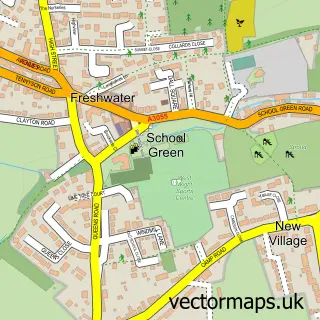
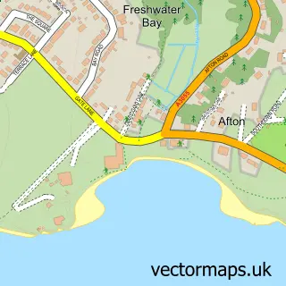
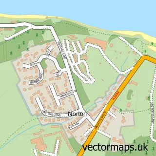
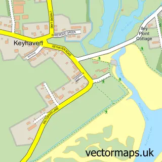
Nearby street map samples around Totland

More street maps in Isle of Wight
750 metre map area coverage
Boundary, postcode and point of interest information for the 750m x 750m rectangle centred on this sample map.
Boundaries containing map centre
Constituency: Isle of Wight West Co Const
District: Isle of Wight
Icb: NHS Hampshire and Isle of Wight ICB
Parish: Totland CP
Police Force: hampshire
Postcode District: PO39
Postcode Sector: PO39 0
Nearby boundaries intersecting sample
Postcode District: PO40
Postcode Sector: PO40 9
Postcode coverage
POI category counts
Hotel: 4
Korean Grocery Store: 3
Beach: 2
Landmark And Historical Building: 2
Auto Detailing: 1
Beauty Salon: 1
Bowling Alley: 1
Business Schools: 1
Cafe: 1
Car Wash: 1
Sample points of interest
- C&C Services
- The Bay Colwell
- Totland Bay, Isle of Wight
- Jojo's unisex hair & beauty
- Totland Bay
- Isle Of Wight Training Ltd.
- Bay Cafe
- Totland Car Wash
- Southern Catering Equipment Co
- West Wight Men in Sheds
- Sunbo
- Costcutter
Create a larger editable map of Totland
This sample shows only a 750 metre area. To create a larger map of Totland, use our map builder to choose your own coverage area, add titles and download editable SVG, PDF and PNG files.
Create a custom map of Totland