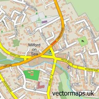
This Hordle street map is a detailed vector street map covering a 750m x 750m area. Select a larger area to create and download your own vector street map of Hordle.
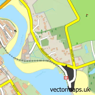
The 750-metre map sample for Hordle covers 331 mapped buildings and approximately 12.2 km of road detail, of which 23 named roads are named. The immediate area includes 1 school, 1 GP surgery within 2 miles, 1 pub and 4 MOT stations within 2 miles. The wider area around Hordle features 1 food and drink venue and 4 campsites within 2 miles. To create a larger or custom map of Hordle, the map builder lets you define your own coverage area and download editable SVG, PDF and PNG files.
Create a larger editable map of Hordle
Choose any area you need and generate a high-quality vector map instantly. Perfect for print, planning, design, business and personal use.

This Hordle street map in Hampshire is available as downloadable SVG, PDF and PNG map files, or as a printed map for planning, business, display, education, local information and design work. You can also create a larger custom map area using the map selector.
What this Hordle map sample shows
Hordle lies within Hordle Cp parish, part of Hordle ward in the New Forest District local authority area. The postcode geography for this area includes the SO postcode area, the SO41 postcode district and the SO41 0 postcode sector. Residents fall under the Nhs Hampshire And Isle Of Wight Integrated Care Board for NHS services.
Local features near Hordle
Within 2 milesAmenities and services in and around Hordle.
Administrative and postcode information for Hordle
Hordle lies within Hordle Cp parish, part of Hordle ward in the New Forest District local authority area. The postcode geography for this area includes the SO postcode area, the SO41 postcode district and the SO41 0 postcode sector. Residents fall under the Nhs Hampshire And Isle Of Wight Integrated Care Board for NHS services.
Nearby street map samples around Hordle

More street maps in Hampshire
750 metre map area coverage
Boundary, postcode and point of interest information for the 750m x 750m rectangle centred on this sample map.
Boundaries containing map centre
Constituency: New Forest West Co Const
County: Hampshire County
District: New Forest District
Icb: NHS Hampshire and Isle of Wight ICB
Parish: Hordle CP
Police Force: hampshire
Postcode District: SO41
Postcode Sector: SO41 0
Ward: Milford & Hordle Ward
Nearby boundaries intersecting sample
No additional intersecting boundaries found.
Postcode coverage
POI category counts
Building Supply Store: 2
Church Cathedral: 2
Anglican Church: 1
Animal Rescue Service: 1
Business: 1
Business Management Services: 1
Charity Organization: 1
Cleaning Services: 1
Construction Services: 1
Contractor: 1
Sample points of interest
- All Saints, Hordle and St. Andrew's, Tiptoe
- FurBuddies Animal Rehoming Centre
- A J Marine
- Robert Gill Home & Garden
- Midori Consulting
- Vivid Connections
- Ferns Lodge - NGS Garden
- All Saints Church
- Hordle Church
- Franco's Carpet Cleaning
- Anthony Carpentry and Building Services
- Smp Brickwork Limited
Create a larger editable map of Hordle
This sample shows only a 750 metre area. To create a larger map of Hordle, use our map builder to choose your own coverage area, add titles and download editable SVG, PDF and PNG files.
Create a custom map of Hordle