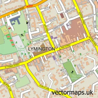
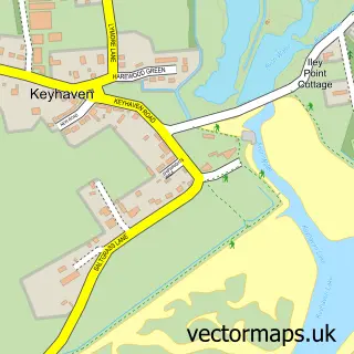
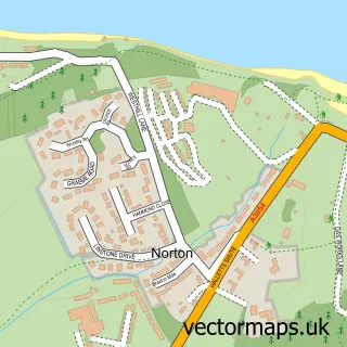
This Pennington street map is a detailed vector street map covering a 750m x 750m area. Select a larger area to create and download your own vector street map of Pennington.
The 750-metre map sample for Pennington covers 571 mapped buildings and approximately 19.5 km of road detail, of which 40 named roads are named. The immediate area includes 1 school, 2 GP surgeries within 2 miles, 3 pubs and 8 MOT stations within 2 miles. The wider area around Pennington features 1 tourism point of interest, 4 food and drink venues and 2 hotels. To create a larger or custom map of Pennington, the map builder lets you define your own coverage area and download editable SVG, PDF and PNG files.
Create a larger editable map of Pennington
Choose any area you need and generate a high-quality vector map instantly. Perfect for print, planning, design, business and personal use.

This Pennington street map in Hampshire is available as downloadable SVG, PDF and PNG map files, or as a printed map for planning, business, display, education, local information and design work. You can also create a larger custom map area using the map selector.
What this Pennington map sample shows
Pennington lies within Lymington And Pennington Cp parish, part of Lymington Town ward in the New Forest District local authority area. The postcode geography for this area includes the SO postcode area, the SO41 postcode district and the SO41 3 postcode sector. Residents fall under the Nhs Hampshire And Isle Of Wight Integrated Care Board for NHS services.
Local features near Pennington
Within 2 milesAmenities and services in and around Pennington.
Administrative and postcode information for Pennington
The local authority covering Pennington is New Forest District, within the county of Hampshire. The settlement lies within Lymington Town ward and Lymington And Pennington Cp civil parish. The SO41 postcode district and SO41 3 postcode sector serve the immediate area. NHS provision in the area is delivered through University Hospital Southampton Nhs Foundation Trust.
Nearby street map samples around Pennington

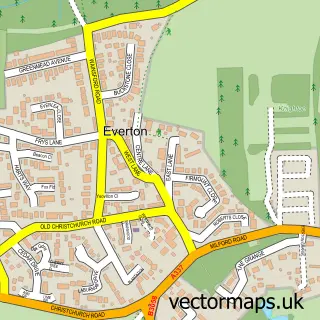
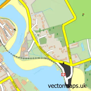
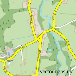
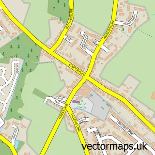
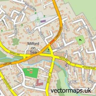
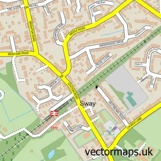
More street maps in Hampshire
750 metre map area coverage
Boundary, postcode and point of interest information for the 750m x 750m rectangle centred on this sample map.
Boundaries containing map centre
Constituency: New Forest West Co Const
County: Hampshire County
District: New Forest District
Icb: NHS Hampshire and Isle of Wight ICB
Parish: Lymington and Pennington CP
Police Force: hampshire
Postcode District: SO41
Postcode Sector: SO41 8
Ward: Pennington Ward
Nearby boundaries intersecting sample
Postcode Sector: SO41 9
Postcode coverage
POI category counts
Electrician: 3
Flowers And Gifts Shop: 3
Pub: 3
Carpenter: 2
Church Cathedral: 2
Convenience Store: 2
Day Care Preschool: 2
Elementary School: 2
Hotel: 2
Post Office: 2
Sample points of interest
- Reach Dance
- Morgan Building Design
- Lymington Mobile Barber
- Barry Frampton
- Lymore Home Improvements
- Wiltshire Carpentry
- Baytree Chiropractic
- St Mark's Church
- St Marks Church, Pennington
- H & H Ceramics
- One Stop
- Tesco Express
Create a larger editable map of Pennington
This sample shows only a 750 metre area. To create a larger map of Pennington, use our map builder to choose your own coverage area, add titles and download editable SVG, PDF and PNG files.
Create a custom map of Pennington