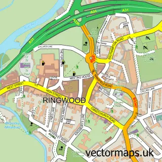
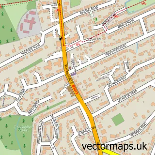
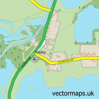
This Ashley Heath street map is a detailed vector street map covering a 750m x 750m area. Select a larger area to create and download your own vector street map of Ashley Heath.
The 750-metre map sample for Ashley Heath covers 291 mapped buildings and approximately 11.9 km of road detail, of which 18 named roads are named. The immediate area includes 10 MOT stations within 2 miles. The wider area around Ashley Heath features 1 tourism point of interest and 5 campsites within 2 miles. To create a larger or custom map of Ashley Heath, the map builder lets you define your own coverage area and download editable SVG, PDF and PNG files.
Create a larger editable map of Ashley Heath
Choose any area you need and generate a high-quality vector map instantly. Perfect for print, planning, design, business and personal use.

This Ashley Heath street map in Dorset is available as downloadable SVG, PDF and PNG map files, or as a printed map for planning, business, display, education, local information and design work. You can also create a larger custom map area using the map selector.
What this Ashley Heath map sample shows
Ashley Heath lies within St. Leonards And St. Ives Cp parish, part of St Leonards & St Ives ward in the Dorset local authority area. The postcode geography for this area includes the BH postcode area, the BH24 postcode district and the BH24 2 postcode sector. Residents fall under the Nhs Dorset Integrated Care Board for NHS services.
Local features near Ashley Heath
Within 2 milesAmenities and services in and around Ashley Heath.
Administrative and postcode information for Ashley Heath
Ashley Heath lies within St. Leonards And St. Ives Cp parish, part of St Leonards & St Ives ward in the Dorset local authority area. The postcode geography for this area includes the BH postcode area, the BH24 postcode district and the BH24 2 postcode sector. Residents fall under the Nhs Dorset Integrated Care Board for NHS services.
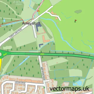
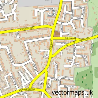
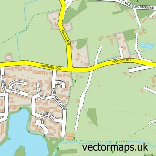
Nearby street map samples around Ashley Heath

More street maps in Dorset
750 metre map area coverage
Boundary, postcode and point of interest information for the 750m x 750m rectangle centred on this sample map.
Boundaries containing map centre
Constituency: Christchurch Co Const
District: Dorset
Icb: NHS Dorset ICB
Parish: St. Leonards and St. Ives CP
Police Force: dorset
Postcode District: BH24
Postcode Sector: BH24 2
Ward: St. Leonards & St. Ives Ward
Nearby boundaries intersecting sample
No additional intersecting boundaries found.
Postcode coverage
POI category counts
Convenience Store: 3
Bookkeeper: 1
Business Office Supplies And Stationery: 1
Chiropractor: 1
Courier And Delivery Services: 1
Hair Salon: 1
Holiday Rental Home: 1
Park: 1
Professional Services: 1
Rental Kiosks: 1
Sample points of interest
- Avery Bookkeeping Services
- Dunning Computer Services
- Avon View Chiropractic
- One Stop
- One Stop
- The Forge
- Evri ParcelShop
- William & Mary Hair & Beauty
- Suomi Cabins
- Moors Valley Country Park
- Evri ParcelShop
- One Stop @ Ashley Heath Forge 1567
Create a larger editable map of Ashley Heath
This sample shows only a 750 metre area. To create a larger map of Ashley Heath, use our map builder to choose your own coverage area, add titles and download editable SVG, PDF and PNG files.
Create a custom map of Ashley Heath