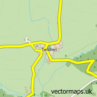
This Withypool street map is a detailed vector street map covering a 750m x 750m area. Select a larger area to create and download your own vector street map of Withypool.
The 750-metre map sample for Withypool covers 94 mapped buildings and approximately 8.2 km of road detail, of which 2 named roads are named. The immediate area includes 2 pubs and 1 MOT station within 2 miles. The wider area around Withypool features 2 food and drink venues and 1 campsite within 2 miles. To create a larger or custom map of Withypool, the map builder lets you define your own coverage area and download editable SVG, PDF and PNG files.
Create a larger editable map of Withypool
Choose any area you need and generate a high-quality vector map instantly. Perfect for print, planning, design, business and personal use.

This Withypool street map in Somerset is available as downloadable SVG, PDF and PNG map files, or as a printed map for planning, business, display, education, local information and design work. You can also create a larger custom map area using the map selector.
What this Withypool map sample shows
Withypool lies within Withypool And Hawkridge Cp parish, part of Exmoor ward in the Somerset local authority area. The postcode geography for this area includes the TA postcode area, the TA24 postcode district and the TA24 7 postcode sector. Residents fall under the Nhs Somerset Integrated Care Board for NHS services.
Local features near Withypool
Within 2 milesAmenities and services in and around Withypool.
Administrative and postcode information for Withypool
Withypool lies within Withypool And Hawkridge Cp parish, part of Exmoor ward in the Somerset local authority area. The postcode geography for this area includes the TA postcode area, the TA24 postcode district and the TA24 7 postcode sector. Residents fall under the Nhs Somerset Integrated Care Board for NHS services.
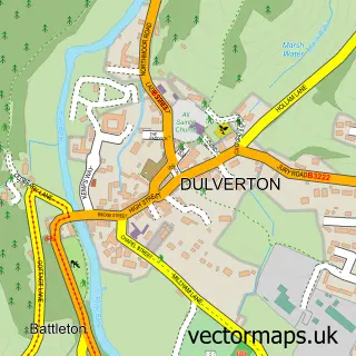
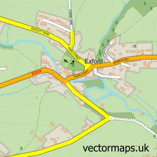
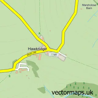
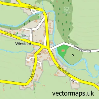
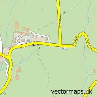
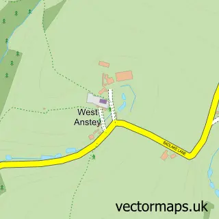
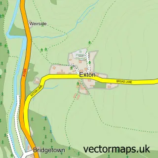
Nearby street map samples around Withypool


More street maps in Somerset
750 metre map area coverage
Boundary, postcode and point of interest information for the 750m x 750m rectangle centred on this sample map.
Boundaries containing map centre
Constituency: Tiverton and Minehead Co Const
District: Somerset
Icb: NHS Somerset ICB
Parish: Withypool and Hawkridge CP
Police Force: avon and somerset
Postcode District: TA24
Postcode Sector: TA24 7
Nearby boundaries intersecting sample
No additional intersecting boundaries found.
Postcode coverage
POI category counts
Bed And Breakfast: 4
Convenience Store: 2
Pub: 2
Anglican Church: 1
Pet Boarding: 1
Property Management: 1
Shipping Center: 1
Tea Room: 1
Web Designer: 1
Sample points of interest
- St Andrew
- Kings Farm
- Mole End Bed and Breakfast
- Stay Withypool, Exmoor.
- Westerclose House Cottages, Exmoor
- The Village Shop
- Village Shop, Withypool, Exmoor
- Westerclose House Cottages
- Exmoor Gardens
- The Old Chapel Withypool
- The Royal Oak Inn
- Post Office
Create a larger editable map of Withypool
This sample shows only a 750 metre area. To create a larger map of Withypool, use our map builder to choose your own coverage area, add titles and download editable SVG, PDF and PNG files.
Create a custom map of Withypool