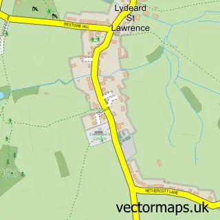
This Wiveliscombe street map is a detailed vector street map covering a 750m x 750m area. Select a larger area to create and download your own vector street map of Wiveliscombe.
The 750-metre map sample for Wiveliscombe covers 401 mapped buildings and approximately 15.4 km of road detail, of which 44 named roads are named. The immediate area includes 1 primary school and 1 secondary school, 1 GP surgery, 2 pubs and 2 MOT stations, with 3 within 2 miles. The wider area around Wiveliscombe features 2 tourism points of interest and 7 food and drink venues. To create a larger or custom map of Wiveliscombe, the map builder lets you define your own coverage area and download editable SVG, PDF and PNG files.
Create a larger editable map of Wiveliscombe
Choose any area you need and generate a high-quality vector map instantly. Perfect for print, planning, design, business and personal use.

This Wiveliscombe street map in Somerset is available as downloadable SVG, PDF and PNG map files, or as a printed map for planning, business, display, education, local information and design work. You can also create a larger custom map area using the map selector.
What this Wiveliscombe map sample shows
Wiveliscombe lies within Wiveliscombe Cp parish, part of Wiveliscombe & District ward in the Somerset local authority area. The postcode geography for this area includes the TA postcode area, the TA4 postcode district and the TA4 2 postcode sector. Residents fall under the Nhs Somerset Integrated Care Board for NHS services.
Local features near Wiveliscombe
Within 2 milesAmenities and services in and around Wiveliscombe.
Administrative and postcode information for Wiveliscombe
The local authority covering Wiveliscombe is Somerset, within the county of Somerset. The settlement lies within Wiveliscombe & District ward and Wiveliscombe Cp civil parish. The TA4 postcode district and TA4 2 postcode sector serve the immediate area. NHS provision in the area is delivered through Somerset Nhs Foundation Trust.
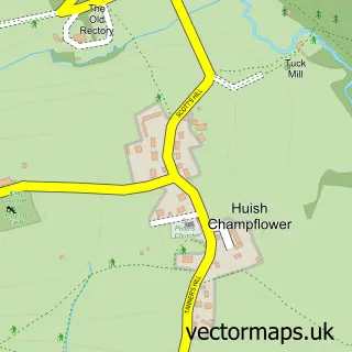
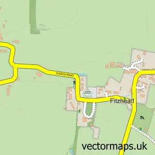
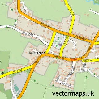
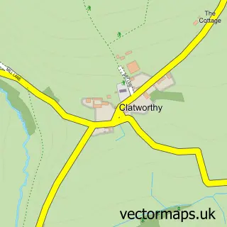
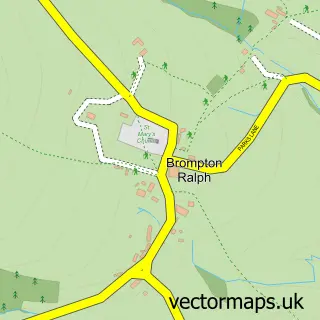
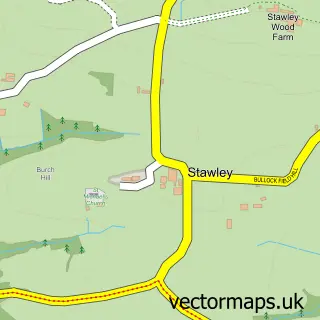
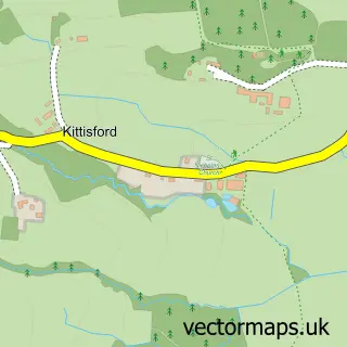
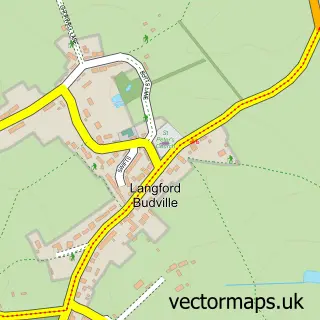
Nearby street map samples around Wiveliscombe

More street maps in Somerset
750 metre map area coverage
Boundary, postcode and point of interest information for the 750m x 750m rectangle centred on this sample map.
Boundaries containing map centre
Constituency: Tiverton and Minehead Co Const
District: Somerset
Icb: NHS Somerset ICB
Parish: Wiveliscombe CP
Police Force: avon and somerset
Postcode District: TA4
Postcode Sector: TA4 2
Nearby boundaries intersecting sample
No additional intersecting boundaries found.
Postcode coverage
POI category counts
Brewery: 6
Cafe: 4
Automotive Repair: 3
Building Supply Store: 3
Charity Organization: 3
Contractor: 3
Convenience Store: 3
Veterinarian: 3
Antique Store: 2
Art Gallery: 2
Sample points of interest
- Fine & Country Wiveliscombe
- CandleTrees Equestrian
- The Court House
- Yew Tree Antiques Warehouse
- Mark's Domestic Repairs
- Studio 8
- the Court Gallery
- Studio 8
- The Cooperative Food (BF) Wiveliscombe, Wiveliscombe
- Spring Gardens
- Country Cars and Vans
- Jones Automobile Engineers
Create a larger editable map of Wiveliscombe
This sample shows only a 750 metre area. To create a larger map of Wiveliscombe, use our map builder to choose your own coverage area, add titles and download editable SVG, PDF and PNG files.
Create a custom map of Wiveliscombe