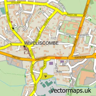
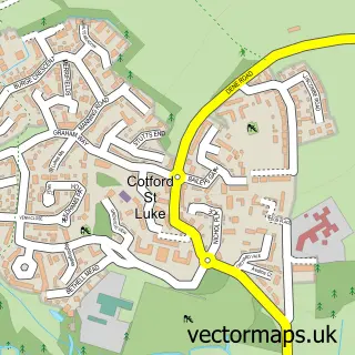
This Milverton street map is a detailed vector street map covering a 750m x 750m area. Select a larger area to create and download your own vector street map of Milverton.
The 750-metre map sample for Milverton covers 273 mapped buildings and approximately 12.4 km of road detail, of which 19 named roads are named. The immediate area includes 1 school and 1 pub. The wider area around Milverton features 1 tourism point of interest and 1 food and drink venue. To create a larger or custom map of Milverton, the map builder lets you define your own coverage area and download editable SVG, PDF and PNG files.
Create a larger editable map of Milverton
Choose any area you need and generate a high-quality vector map instantly. Perfect for print, planning, design, business and personal use.

This Milverton street map in Somerset is available as downloadable SVG, PDF and PNG map files, or as a printed map for planning, business, display, education, local information and design work. You can also create a larger custom map area using the map selector.
What this Milverton map sample shows
Milverton lies within Milverton Cp parish, part of Milverton & District ward in the Somerset local authority area. The postcode geography for this area includes the TA postcode area, the TA4 postcode district and the TA4 1 postcode sector. Residents fall under the Nhs Somerset Integrated Care Board for NHS services.
Local features near Milverton
Within 2 milesAmenities and services in and around Milverton.
Administrative and postcode information for Milverton
The local authority covering Milverton is Somerset, within the county of Somerset. The settlement lies within Milverton & District ward and Milverton Cp civil parish. The TA4 postcode district and TA4 1 postcode sector serve the immediate area. NHS provision in the area is delivered through Somerset Nhs Foundation Trust.
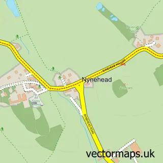
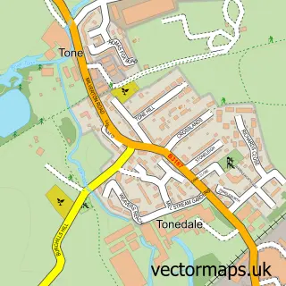
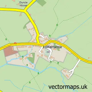
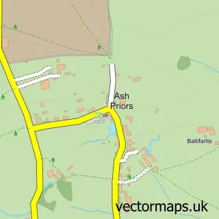
Nearby street map samples around Milverton

More street maps in Somerset
750 metre map area coverage
Boundary, postcode and point of interest information for the 750m x 750m rectangle centred on this sample map.
Boundaries containing map centre
Constituency: Tiverton and Minehead Co Const
District: Somerset
Icb: NHS Somerset ICB
Parish: Milverton CP
Police Force: avon and somerset
Postcode District: TA4
Postcode Sector: TA4 1
Nearby boundaries intersecting sample
No additional intersecting boundaries found.
Postcode coverage
POI category counts
Professional Services: 3
Antique Store: 2
Books Mags Music And Video: 2
Acupuncture: 1
Anglican Church: 1
B2b Textiles: 1
Bicycle Shop: 1
Church Cathedral: 1
Community Center: 1
Convenience Store: 1
Sample points of interest
- Sally Lancaster Acupuncture
- St Michael's
- Sjcartier Ltd.
- Watergate Bay Antique Jewellery
- Susie & Russell Needham
- Turners Cycles
- Milverton Post Office
- Post Office-Milverton
- Church of St Michael & All Angels
- The Victoria Rooms
- Milverton Stores
- Humanistic Psychotherapy
Create a larger editable map of Milverton
This sample shows only a 750 metre area. To create a larger map of Milverton, use our map builder to choose your own coverage area, add titles and download editable SVG, PDF and PNG files.
Create a custom map of Milverton