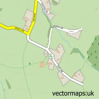
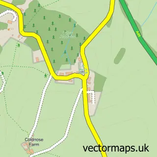
This Wormelow street map is a detailed vector street map covering a 750m x 750m area. Select a larger area to create and download your own vector street map of Wormelow.
The 750-metre map sample for Wormelow covers 61 mapped buildings and approximately 27.8 km of road detail, of which 3 named roads are named. The immediate area includes 1 GP surgery within 2 miles, 1 pub and 1 MOT station, with 2 within 2 miles. The wider area around Wormelow features 1 tourism point of interest and 1 food and drink venue. To create a larger or custom map of Wormelow, the map builder lets you define your own coverage area and download editable SVG, PDF and PNG files.
Create a larger editable map of Wormelow
Choose any area you need and generate a high-quality vector map instantly. Perfect for print, planning, design, business and personal use.

This Wormelow street map in Herefordshire is available as downloadable SVG, PDF and PNG map files, or as a printed map for planning, business, display, education, local information and design work. You can also create a larger custom map area using the map selector.
What this Wormelow map sample shows
Wormelow lies within Much Birch Cp parish, part of Birch ward in the County Of Herefordshire local authority area. The postcode geography for this area includes the HR postcode area, the HR2 postcode district and the HR2 8 postcode sector. Residents fall under the Nhs Herefordshire And Worcestershire Integrated Care Board for NHS services.
Local features near Wormelow
Within 2 milesAmenities and services in and around Wormelow.
Administrative and postcode information for Wormelow
The local authority covering Wormelow is County Of Herefordshire, within the county of Herefordshire. The settlement lies within Birch ward and Much Birch Cp civil parish. The HR2 postcode district and HR2 8 postcode sector serve the immediate area. NHS provision in the area is delivered through Wye Valley Nhs Trust.
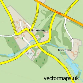
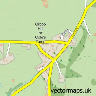
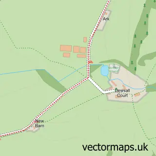
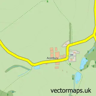
Nearby street map samples around Wormelow
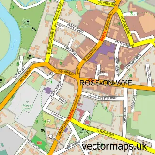

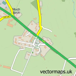
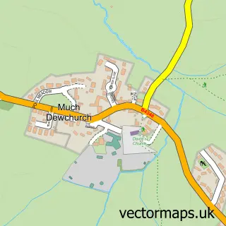
More street maps in Herefordshire
750 metre map area coverage
Boundary, postcode and point of interest information for the 750m x 750m rectangle centred on this sample map.
Boundaries containing map centre
Constituency: Hereford and South Herefordshire Co Const
District: County of Herefordshire
Icb: NHS Herefordshire and Worcestershire ICB
Parish: Much Dewchurch CP
Police Force: west mercia
Postcode District: HR2
Postcode Sector: HR2 8
Ward: Wormside Ward
Nearby boundaries intersecting sample
Parish: Llanwarne CP, Much Birch CP
Ward: Birch Ward
Postcode coverage
POI category counts
Disability Law: 3
Furniture Manufacturers: 2
Post Office: 2
Museum: 1
Nursery And Gardening: 1
Pub: 1
Sports Club And League: 1
Sample points of interest
- Voyage Care: Falcons Rest
- Voyage Care: Hunters Lodge
- Voyage Care: Poachers Cottage
- Simply Stunning
- Simply Stunning Furniture
- Violette Szabo GC Museum
- Tom's Yard
- Carrot and Wine Store
- Wormelow Post Office
- The Tump Inn
- Wormelow Cricket Club
Create a larger editable map of Wormelow
This sample shows only a 750 metre area. To create a larger map of Wormelow, use our map builder to choose your own coverage area, add titles and download editable SVG, PDF and PNG files.
Create a custom map of Wormelow