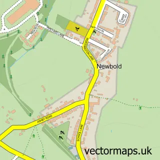
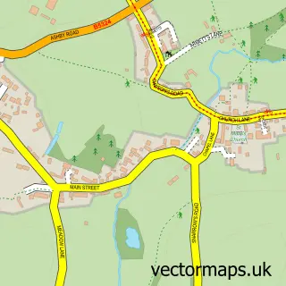
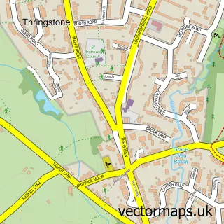
This Worthington street map is a detailed vector street map covering a 750m x 750m area. Select a larger area to create and download your own vector street map of Worthington.
The 750-metre map sample for Worthington covers 165 mapped buildings and approximately 11.1 km of road detail, of which 10 named roads are named. The immediate area includes 1 school, 1 pub and 2 MOT stations within 2 miles. The wider area around Worthington features 1 food and drink venue. To create a larger or custom map of Worthington, the map builder lets you define your own coverage area and download editable SVG, PDF and PNG files.
Create a larger editable map of Worthington
Choose any area you need and generate a high-quality vector map instantly. Perfect for print, planning, design, business and personal use.

This Worthington street map in Leicestershire is available as downloadable SVG, PDF and PNG map files, or as a printed map for planning, business, display, education, local information and design work. You can also create a larger custom map area using the map selector.
What this Worthington map sample shows
Worthington lies within Worthington Cp parish, part of Worthington & Breedon ward in the North West Leicestershire District local authority area. The postcode geography for this area includes the LE postcode area, the LE65 postcode district and the LE65 1 postcode sector. Residents fall under the Nhs Leicester, Leicestershire And Rutland Integrated Care Board for NHS services.
Local features near Worthington
Within 2 milesAmenities and services in and around Worthington.
Administrative and postcode information for Worthington
Worthington lies within Worthington Cp parish, part of Worthington & Breedon ward in the North West Leicestershire District local authority area. The postcode geography for this area includes the LE postcode area, the LE65 postcode district and the LE65 1 postcode sector. Residents fall under the Nhs Leicester, Leicestershire And Rutland Integrated Care Board for NHS services.
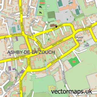
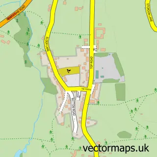
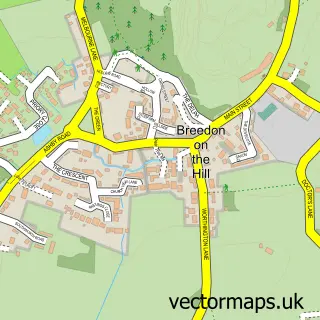
Nearby street map samples around Worthington

More street maps in Leicestershire
750 metre map area coverage
Boundary, postcode and point of interest information for the 750m x 750m rectangle centred on this sample map.
Boundaries containing map centre
Constituency: North West Leicestershire Co Const
County: Leicestershire County
District: North West Leicestershire District
Icb: NHS Leicester Leicestershire and Rutland ICB
Parish: Worthington CP
Police Force: leicestershire
Postcode District: LE65
Postcode Sector: LE65 1
Ward: Worthington & Breedon Ward
Nearby boundaries intersecting sample
Postcode District: LE12
Postcode Sector: LE12 9
Postcode coverage
POI category counts
Elementary School: 2
Professional Services: 2
Anglican Church: 1
Arts And Entertainment: 1
Auto Detailing: 1
Business To Business Services: 1
Contractor: 1
Convenience Store: 1
Electrician: 1
Farm Equipment And Supply: 1
Sample points of interest
- Saint Matthew's Church
- Worthington
- Clean Image - Car Detailing
- Inscape Solutions Ltd.
- Goldfinch Developments & Property Services
- Premier
- PCM Electrics
- Worthington Primary School
- Worthington Primary School
- Midlands Agriplant Ltd.
- R & S Grab Hire
- Worthington store & Post Office
Create a larger editable map of Worthington
This sample shows only a 750 metre area. To create a larger map of Worthington, use our map builder to choose your own coverage area, add titles and download editable SVG, PDF and PNG files.
Create a custom map of Worthington