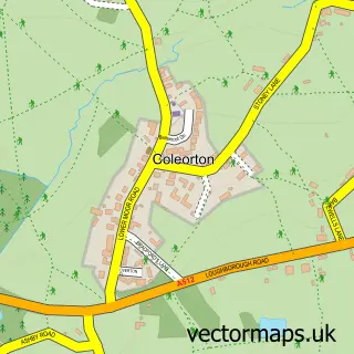
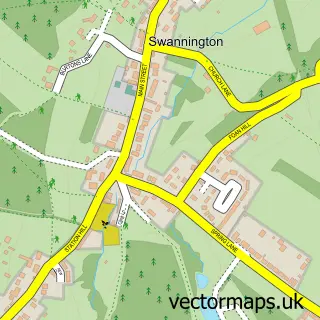
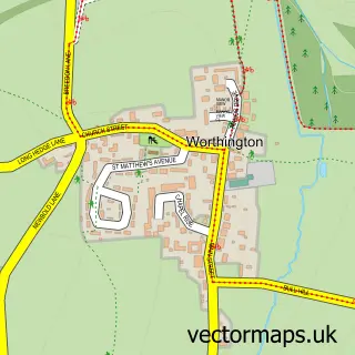
This Peggs Green street map is a detailed vector street map covering a 750m x 750m area. Select a larger area to create and download your own vector street map of Peggs Green.
The 750-metre map sample for Peggs Green covers 151 mapped buildings and approximately 16.9 km of road detail, of which 11 named roads are named. The immediate area includes 2 GP surgeries within 2 miles, 2 pubs and 1 MOT station, with 9 within 2 miles. The wider area around Peggs Green features 2 tourism points of interest and 3 food and drink venues. To create a larger or custom map of Peggs Green, the map builder lets you define your own coverage area and download editable SVG, PDF and PNG files.
Create a larger editable map of Peggs Green
Choose any area you need and generate a high-quality vector map instantly. Perfect for print, planning, design, business and personal use.

This Peggs Green street map in Leicestershire is available as downloadable SVG, PDF and PNG map files, or as a printed map for planning, business, display, education, local information and design work. You can also create a larger custom map area using the map selector.
What this Peggs Green map sample shows
Peggs Green lies within Swannington Cp parish, part of Valley ward in the North West Leicestershire District local authority area. The postcode geography for this area includes the LE postcode area, the LE67 postcode district and the LE67 8 postcode sector. Residents fall under the Nhs Leicester, Leicestershire And Rutland Integrated Care Board for NHS services.
Local features near Peggs Green
Within 2 milesAmenities and services in and around Peggs Green.
Administrative and postcode information for Peggs Green
The local authority covering Peggs Green is North West Leicestershire District, within the county of Leicestershire. The settlement lies within Valley ward and Swannington Cp civil parish. The LE67 postcode district and LE67 8 postcode sector serve the immediate area. NHS provision in the area is delivered through University Hospitals Of Leicester Nhs Trust.
Nearby street map samples around Peggs Green
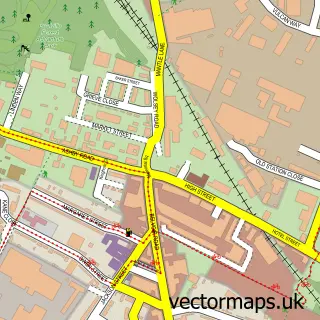

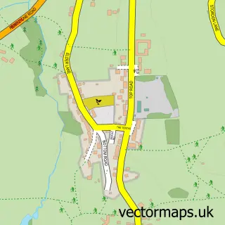
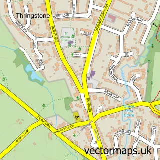
More street maps in Leicestershire
750 metre map area coverage
Boundary, postcode and point of interest information for the 750m x 750m rectangle centred on this sample map.
Boundaries containing map centre
Constituency: North West Leicestershire Co Const
County: Leicestershire County
District: North West Leicestershire District
Icb: NHS Leicester Leicestershire and Rutland ICB
Parish: Swannington CP
Police Force: leicestershire
Postcode District: LE67
Postcode Sector: LE67 8
Ward: Valley Ward
Nearby boundaries intersecting sample
Parish: Coleorton CP
Postcode coverage
POI category counts
Gift Shop: 2
Pub: 2
Advertising Agency: 1
Anglican Church: 1
Bakery: 1
Bar: 1
Car Dealer: 1
Carpenter: 1
Church Cathedral: 1
Coffee Shop: 1
Sample points of interest
- Aerial-Pix
- Swannington: St George
- Crafted The Bakery
- The New Inn Peggs Green
- Redhall Garage Ltd
- MJB Display
- St George's Church
- The Barn
- Dee4dogs
- M D Site Services Ltd.
- Mrs Peony Wedding Stationery & Gifts
- Mrs Peony Wedding Stationery & Gifts
Create a larger editable map of Peggs Green
This sample shows only a 750 metre area. To create a larger map of Peggs Green, use our map builder to choose your own coverage area, add titles and download editable SVG, PDF and PNG files.
Create a custom map of Peggs Green