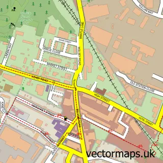
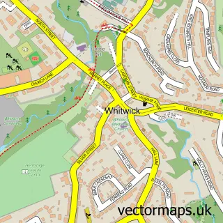
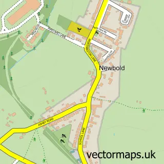
This Swannington street map is a detailed vector street map covering a 750m x 750m area. Select a larger area to create and download your own vector street map of Swannington.
The 750-metre map sample for Swannington covers 194 mapped buildings and approximately 15.9 km of road detail, of which 10 named roads are named. The immediate area includes 1 school, 5 GP surgeries within 2 miles, 2 pubs and 13 MOT stations within 2 miles. The wider area around Swannington features 2 food and drink venues and 1 campsite within 2 miles. To create a larger or custom map of Swannington, the map builder lets you define your own coverage area and download editable SVG, PDF and PNG files.
Create a larger editable map of Swannington
Choose any area you need and generate a high-quality vector map instantly. Perfect for print, planning, design, business and personal use.

This Swannington street map in Leicestershire is available as downloadable SVG, PDF and PNG map files, or as a printed map for planning, business, display, education, local information and design work. You can also create a larger custom map area using the map selector.
What this Swannington map sample shows
Swannington lies within Swannington Cp parish, part of Valley ward in the North West Leicestershire District local authority area. The postcode geography for this area includes the LE postcode area, the LE67 postcode district and the LE67 8 postcode sector. Residents fall under the Nhs Leicester, Leicestershire And Rutland Integrated Care Board for NHS services.
Local features near Swannington
Within 2 milesAmenities and services in and around Swannington.
Administrative and postcode information for Swannington
The local authority covering Swannington is North West Leicestershire District, within the county of Leicestershire. The settlement lies within Valley ward and Swannington Cp civil parish. The LE67 postcode district and LE67 8 postcode sector serve the immediate area. NHS provision in the area is delivered through University Hospitals Of Leicester Nhs Trust.
Nearby street map samples around Swannington

More street maps in Leicestershire
750 metre map area coverage
Boundary, postcode and point of interest information for the 750m x 750m rectangle centred on this sample map.
Boundaries containing map centre
Constituency: North West Leicestershire Co Const
County: Leicestershire County
District: North West Leicestershire District
Icb: NHS Leicester Leicestershire and Rutland ICB
Parish: Swannington CP
Police Force: leicestershire
Postcode District: LE67
Postcode Sector: LE67 8
Ward: Valley Ward
Nearby boundaries intersecting sample
No additional intersecting boundaries found.
Postcode coverage
POI category counts
Plumbing: 2
Pub: 2
Agricultural Service: 1
Bed And Breakfast: 1
Elementary School: 1
Hvac Services: 1
Indian Restaurant: 1
Mens Clothing Store: 1
Music Venue: 1
Pet Boarding: 1
Sample points of interest
- Cuckoo Gap
- Hillfield House
- Swannington C Of E Primary School
- Davis Plumbing & Heating
- Chilli N Spice
- Greenwoods Menswear
- Elm Farm Music
- Incline Boarding Kennels
- Kp Drainage
- Kp Drainage
- The Robin Hood
- The Robin Hood
Create a larger editable map of Swannington
This sample shows only a 750 metre area. To create a larger map of Swannington, use our map builder to choose your own coverage area, add titles and download editable SVG, PDF and PNG files.
Create a custom map of Swannington